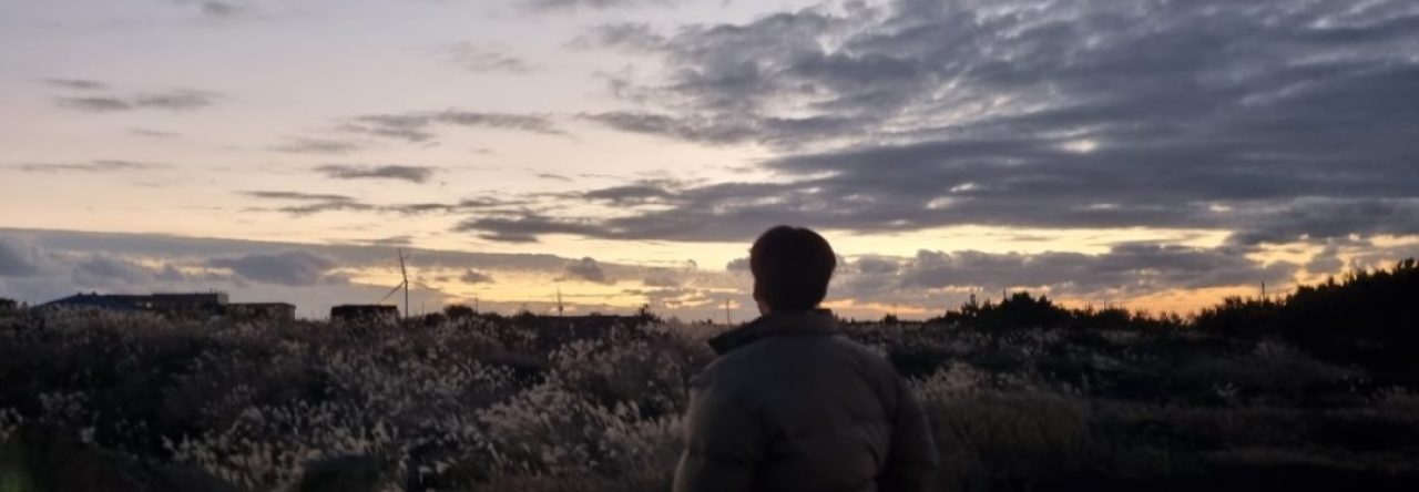
Now my legs have recovered from the 3 million steps at Namhansanseong, it’s time to punish them a little more with a hike around Seoul, but not just randomly wandering about like I have been, but an actual official hike that comes with a map, stamps to collect, and a nice cheap plastic badge at the end (which suddenly becomes the world’s most amazing prize, believe me).
I am going to put this statement front and centre – if you have any moderate type of ability and desire to walk and are coming to Seoul, the Seoul City Wall Trail is totally worth two days of your time if you have it to spare.
I have covered a fair amount of the inner portion of Seoul by foot, and yet still found this trail to be well worth my time and effort for discovering bits of Seoul I hadn’t seen, learning some interesting pub quiz type facts along the way, and of course challenging myself in the fitness department too.
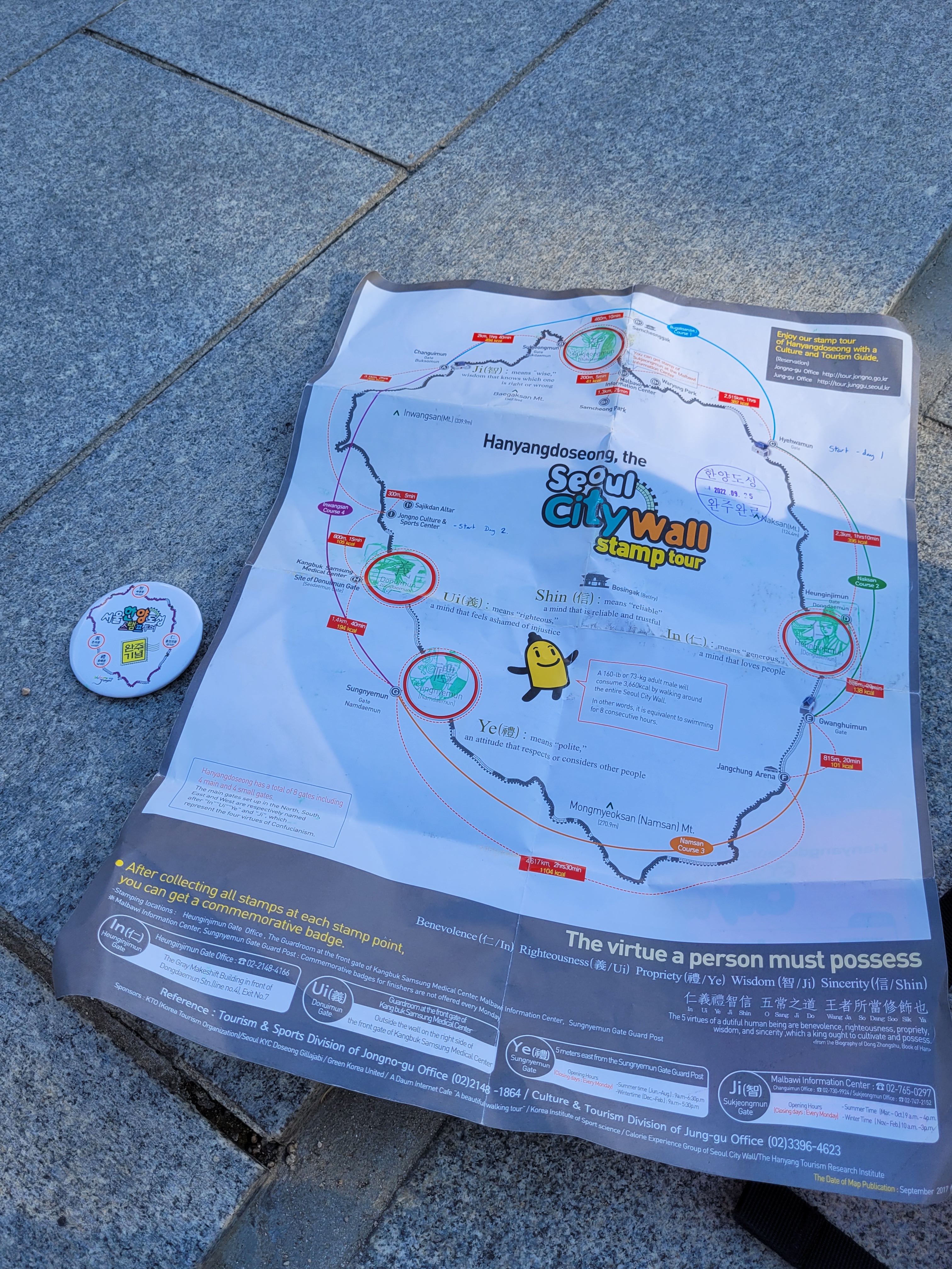
I have stated up there taking two days to walk the trail (it’s 11.5miles/18.6km in length), but the truth is if you are super fit and motivated you can do it in one. I have read people’s blogs where it’s taken them about 8 or 9 straight hours; but my personal preference of stopping to read signs, take in views and maybe detour to something I spot along the way, made the decision to break it into two days a good choice and one I recommend if you are like me.
My other recommendation is to consider doing it the same way I did – starting at Hyehwamun Gate and doing most of the city street/parks walking (including Namsan Tower) and ending at Donuimun on the first day. This leaves the second day for the harder hiking which is basically the two mountains – Inwangsan and Bugaksan (are we remembering the ‘san’ lesson from the other day?).
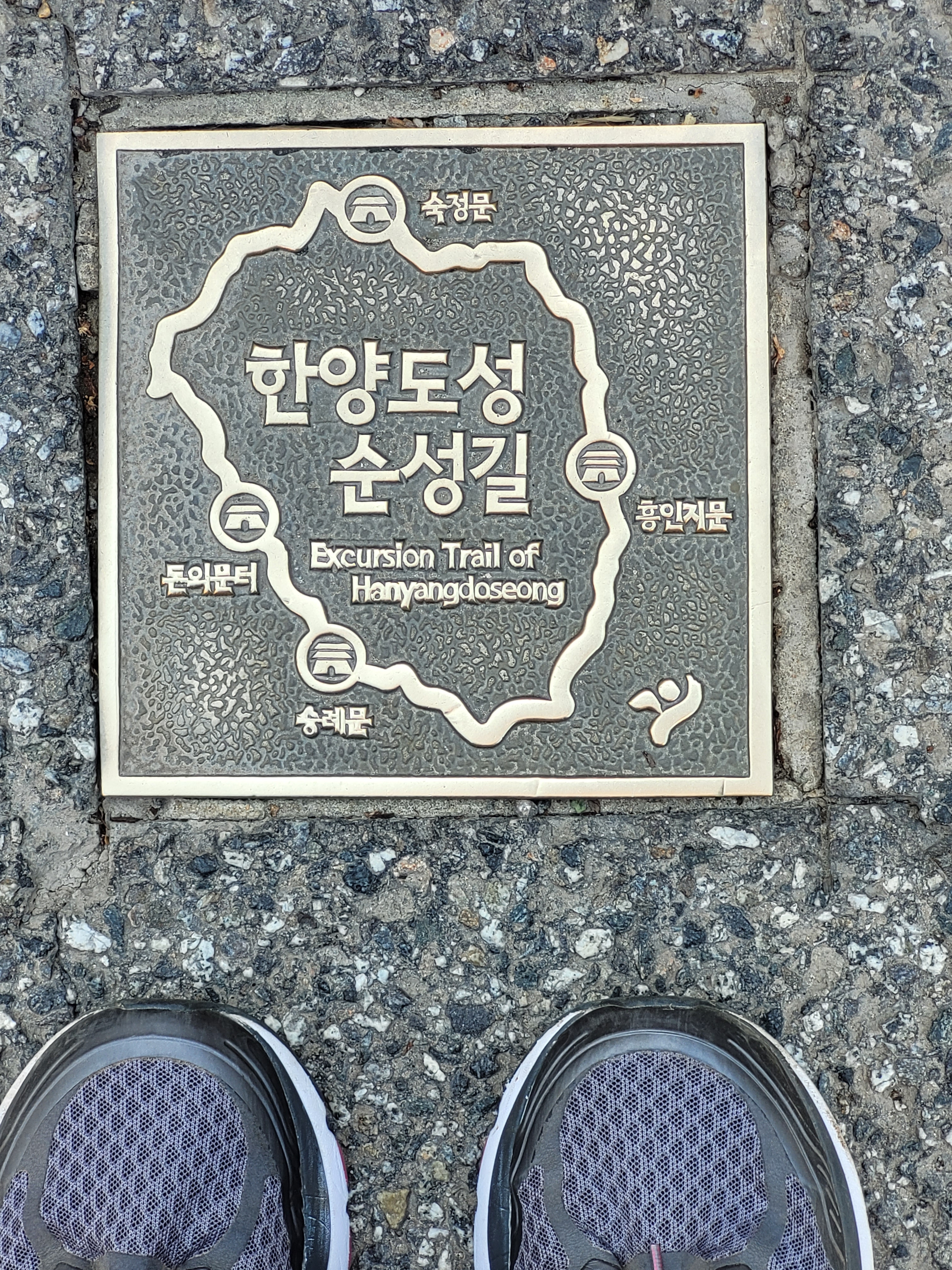
All parts of the trail are easy to access via the subway, plenty of places to pop and get food and drink along the way, but just remember there are a couple sections that close for the evening and so you can only access them during the daytime (shown on the map you get).
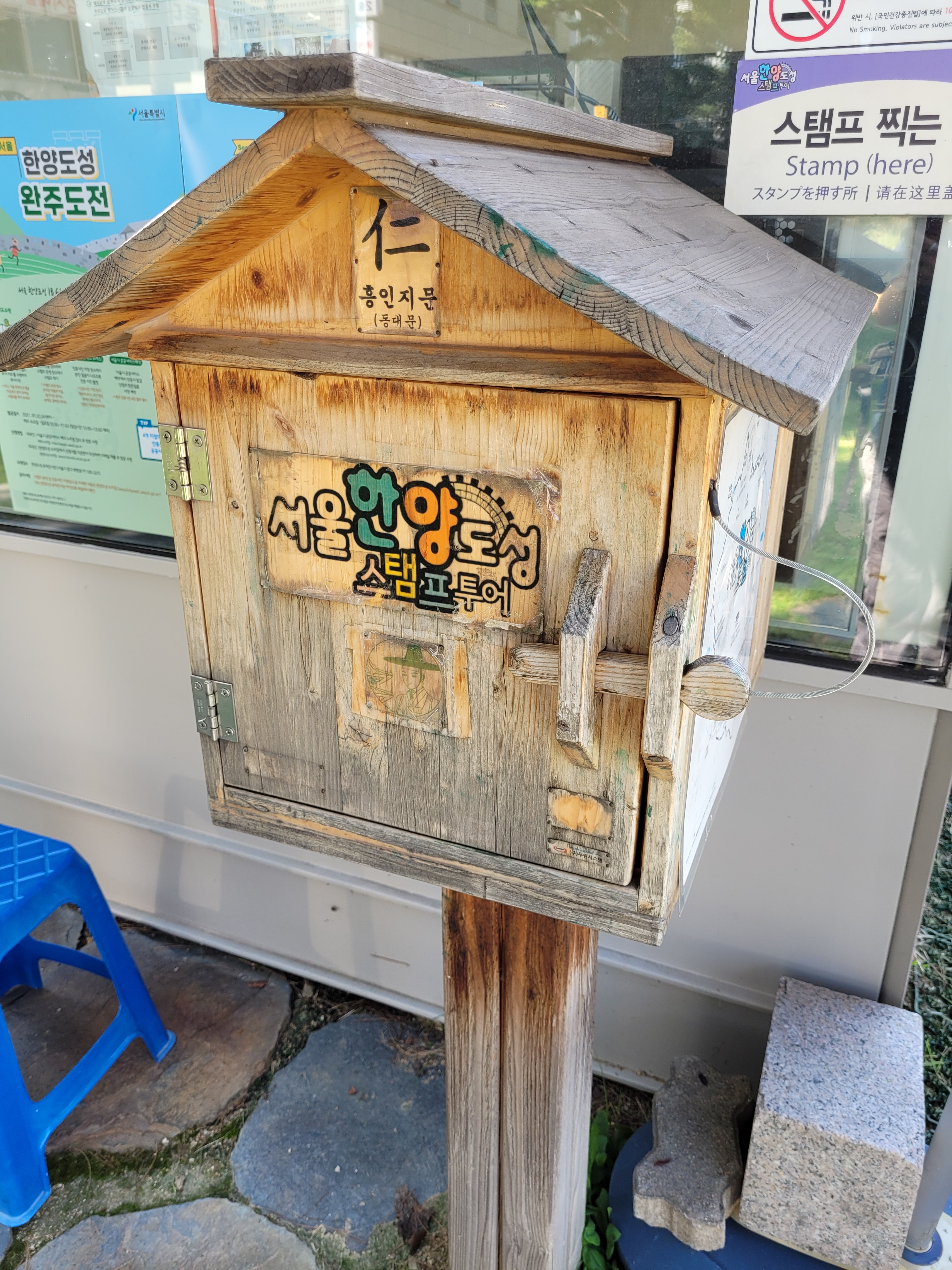
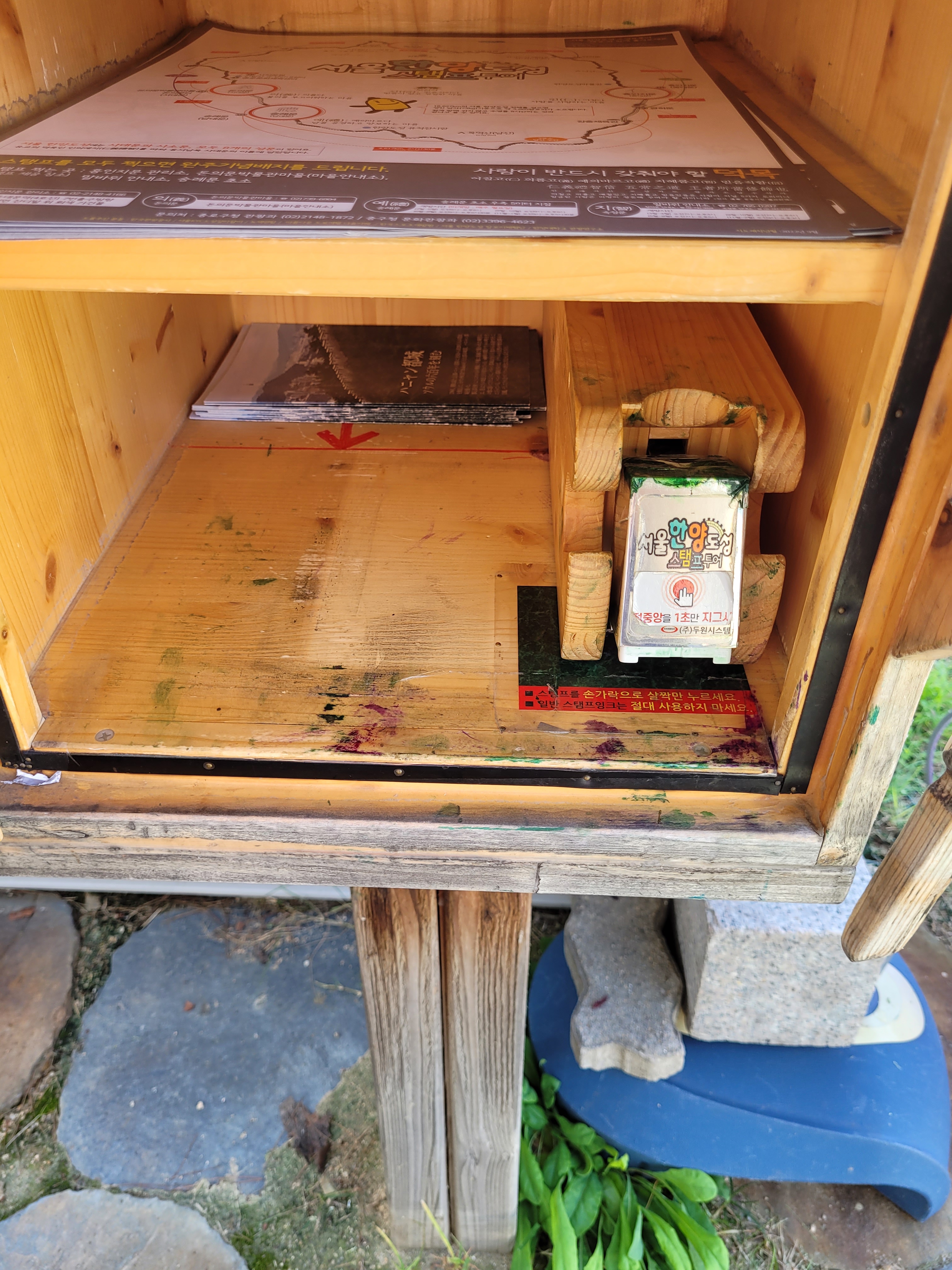
If you want to do the stamp tour bit and get the badge (of course you do), you can be like me and get the map beforehand at the HiKer tourist info place or (I think) from the nice people downstairs at City Hall. Alternatively as you hike, there are spare maps kept in the little stamping post boxes along the route.
Right, so what did I learn and what did I see?
Here goes…
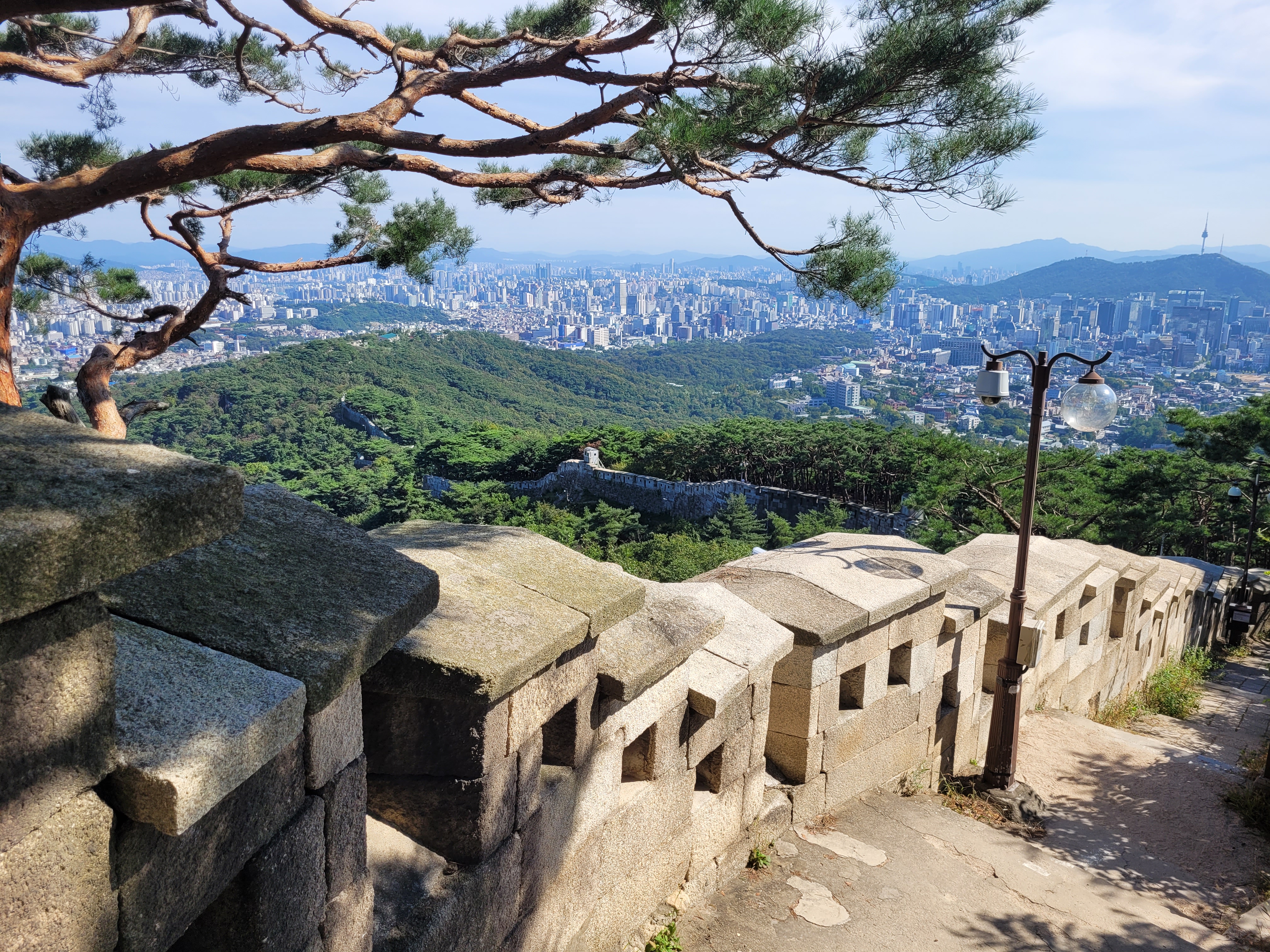
The City Wall is also known as Hanyangdoseoung (I think this basically translates Hanyang Fortress?) and was originally built to defend Hanyang, the capital of the Joseon dynasty and now present day Seoul. According to the informative wall signs, Hanyangdoseoung serves as a city wall from 1396 – 1910, that’s 514 years, and a longer time than any other city wall in the world.
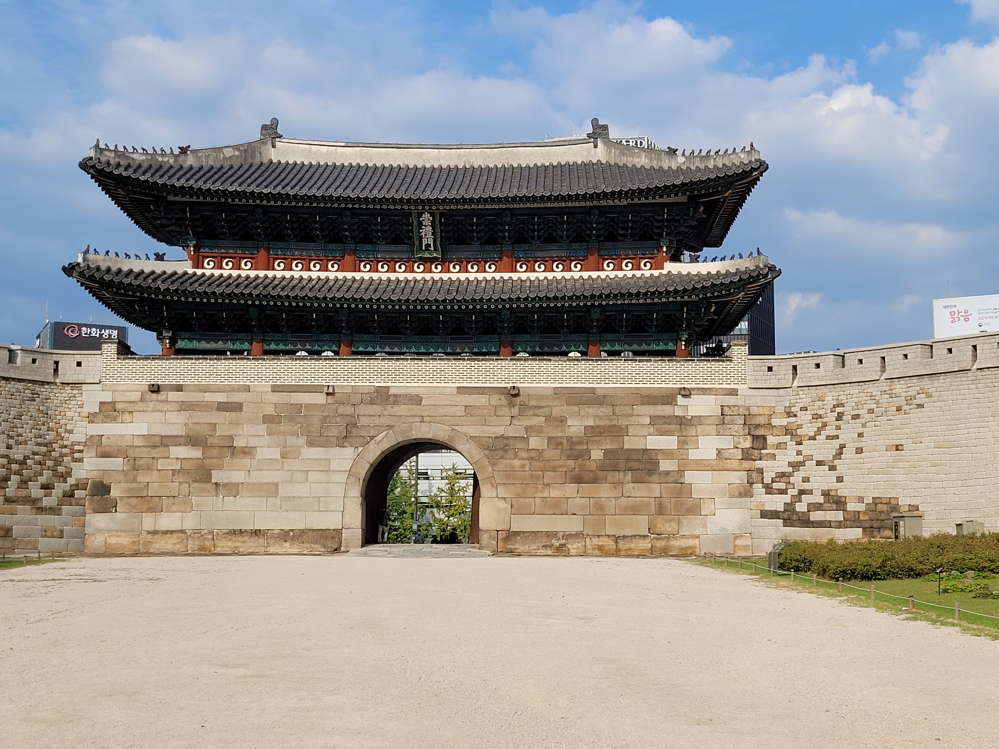
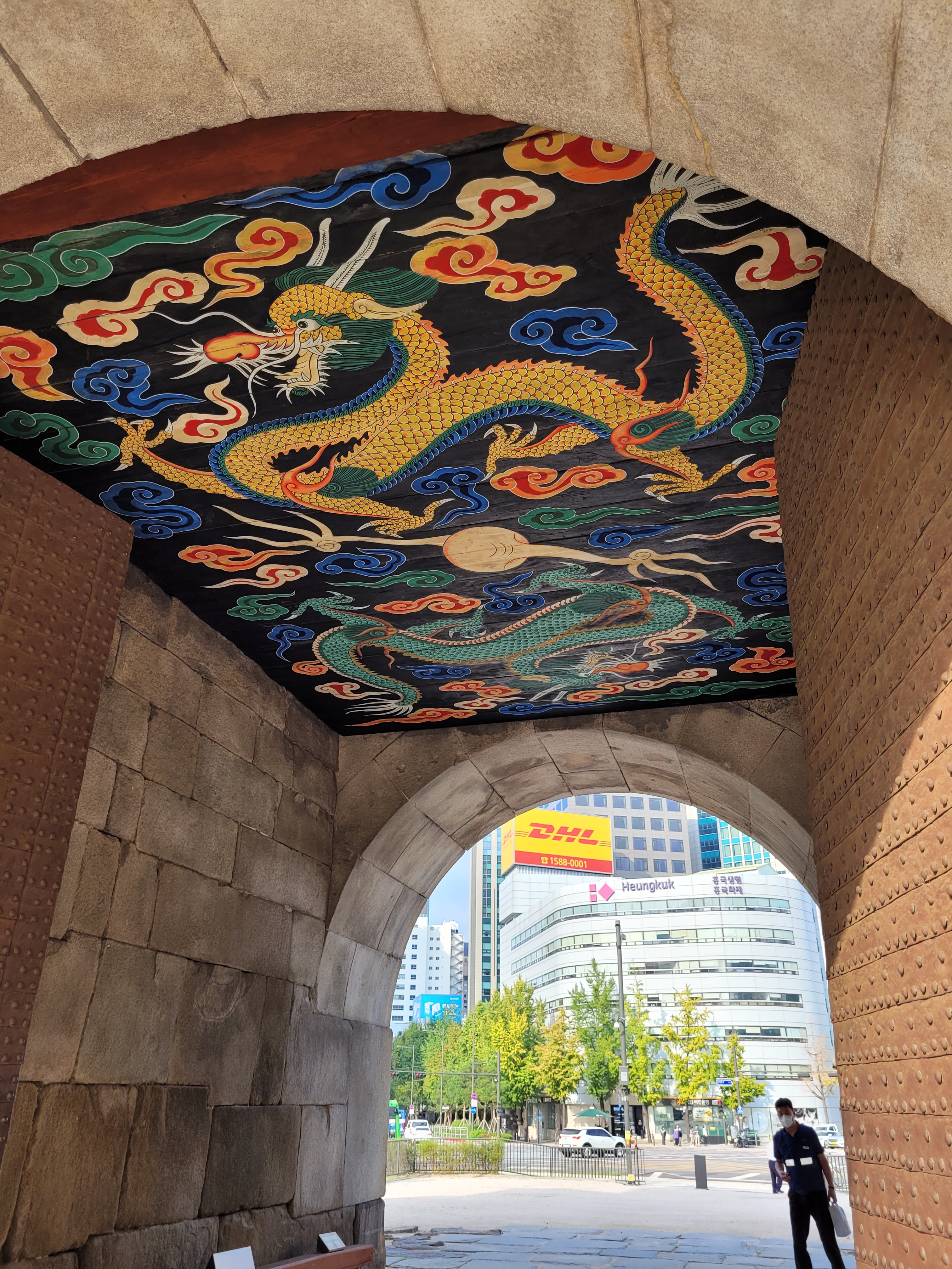
The wall has/had 8 gates within it, 4 large and 4 smaller ones. The pavilions you see on the gates have mostly been restored over time with a number of them having been damaged by fire or war or torn down. The larger gates look like this…
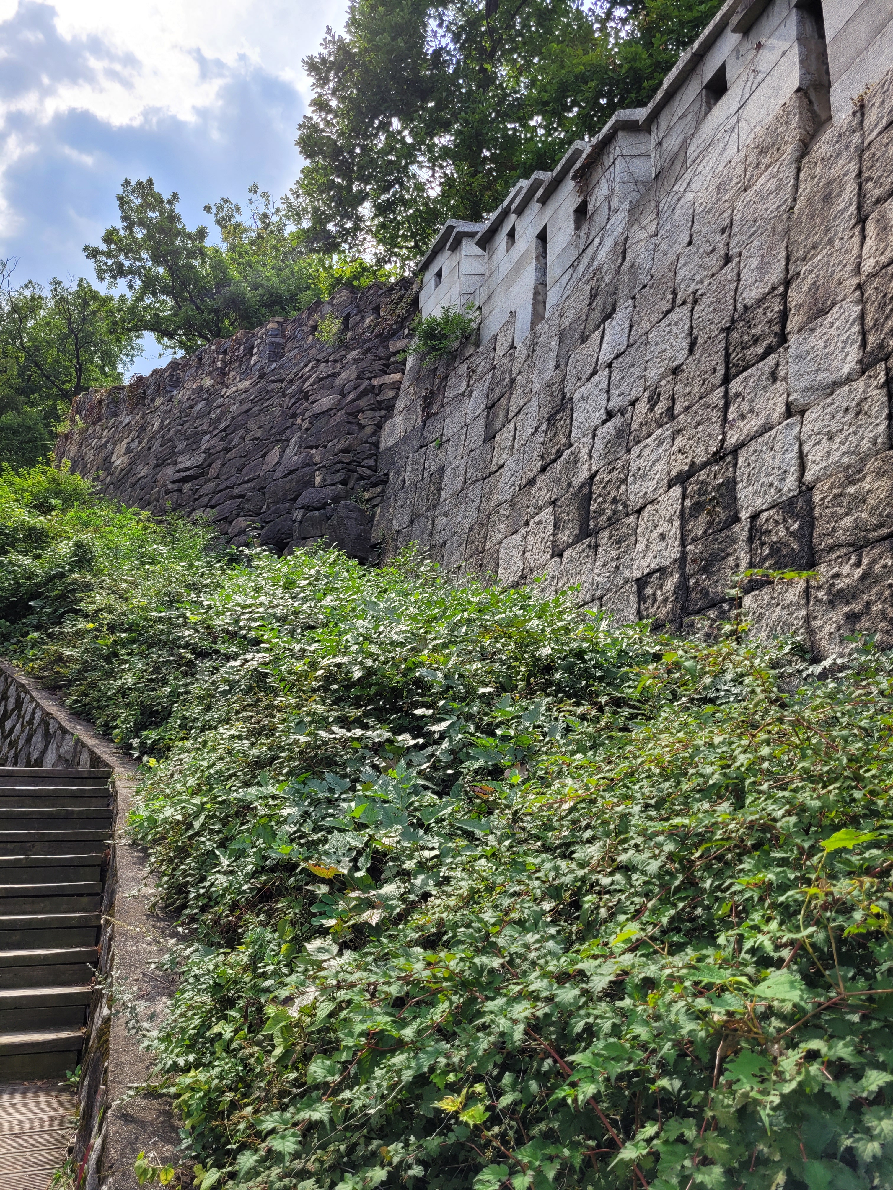
For a fair amount of the trail you follow directly next to the wall, in a couple instances on top or it or walking through it to the inner or outer sides, but in some parts it is missing completely (and this is when you might sometimes get a little bit lost if you are not careful). The trail is marked by signposts and some floor markings – keep your eyes open!
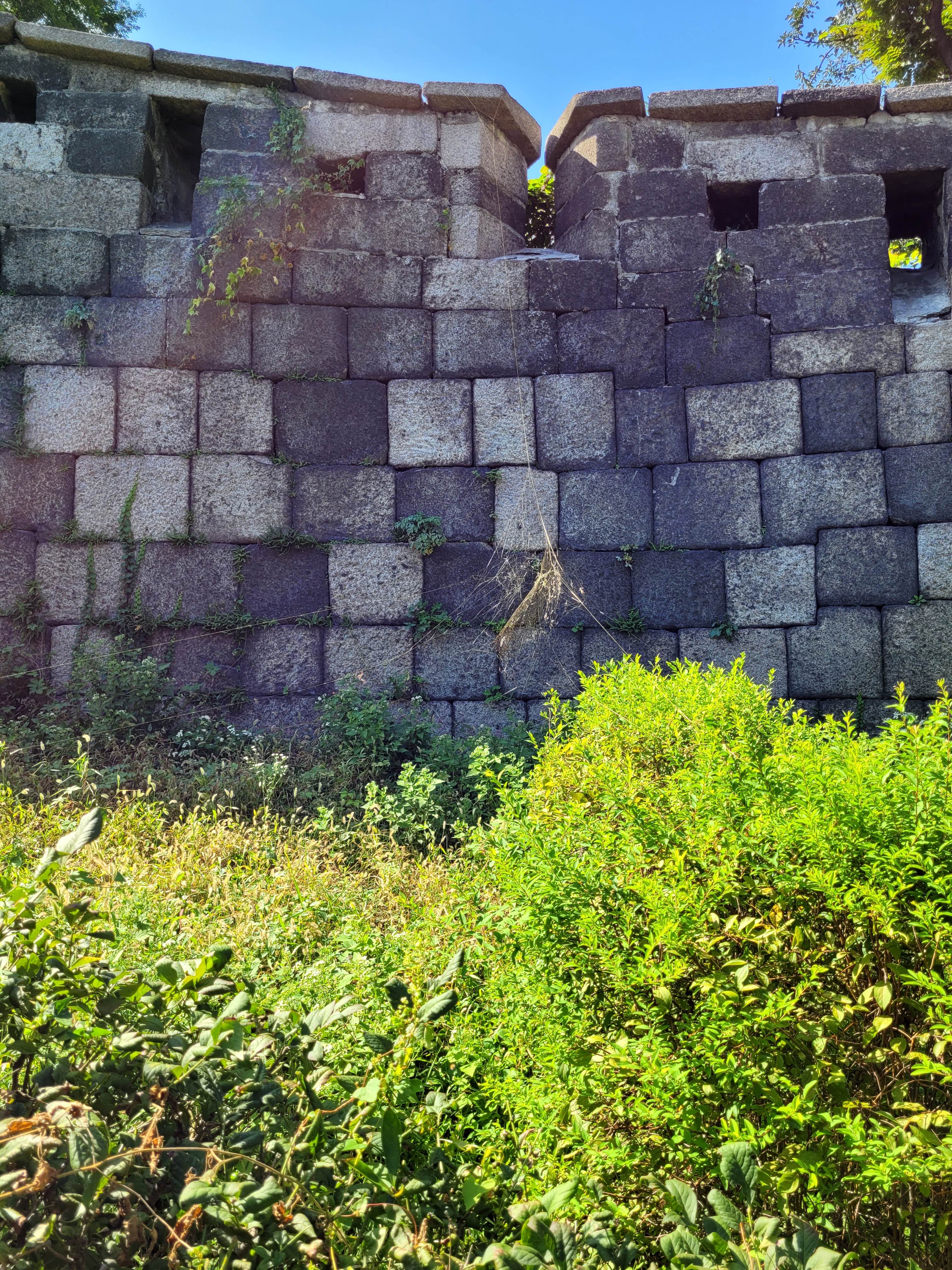
The wall has been built and repaired over the ruling period of 4 kings, and there are signs to demonstrate the different building styles used at the time, theoretically meaning you can take a guess at the age of the wall you are standing next to by carefully examining the blockwork style.
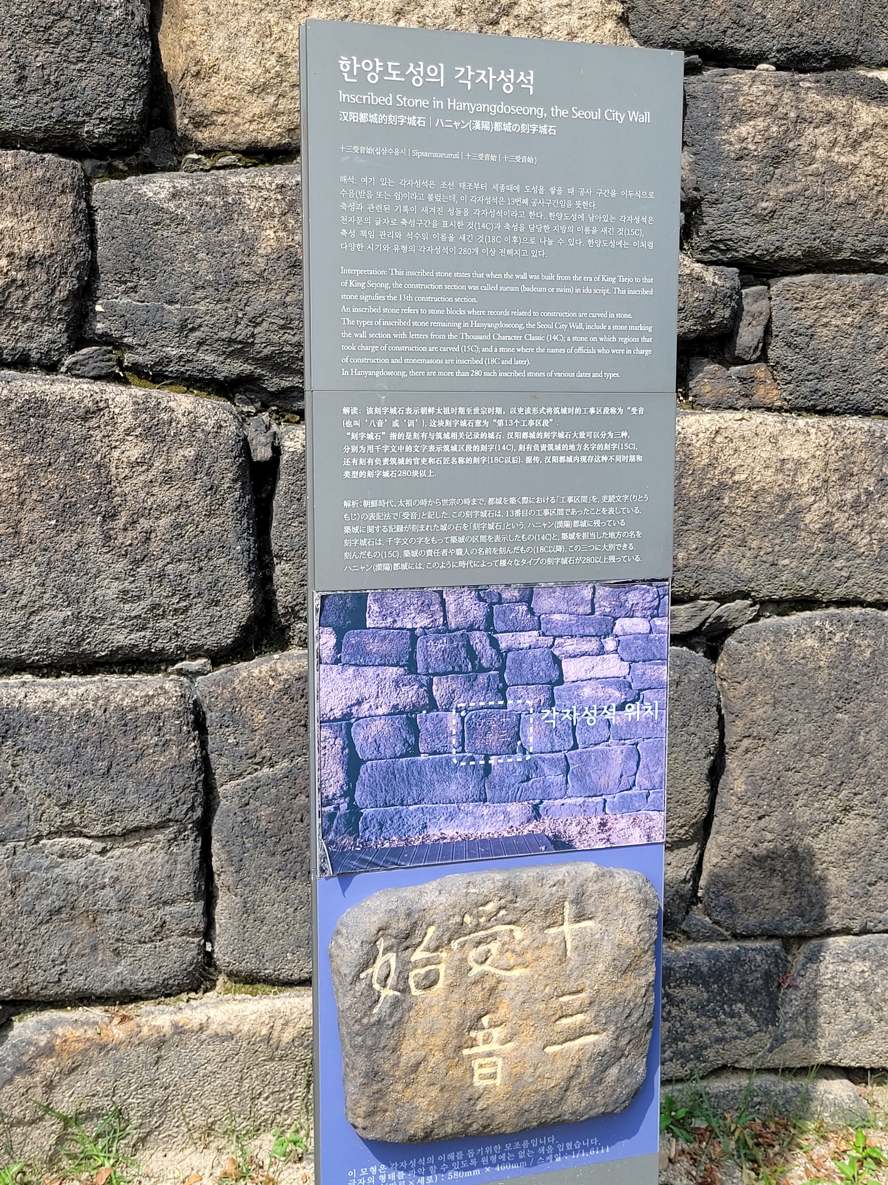
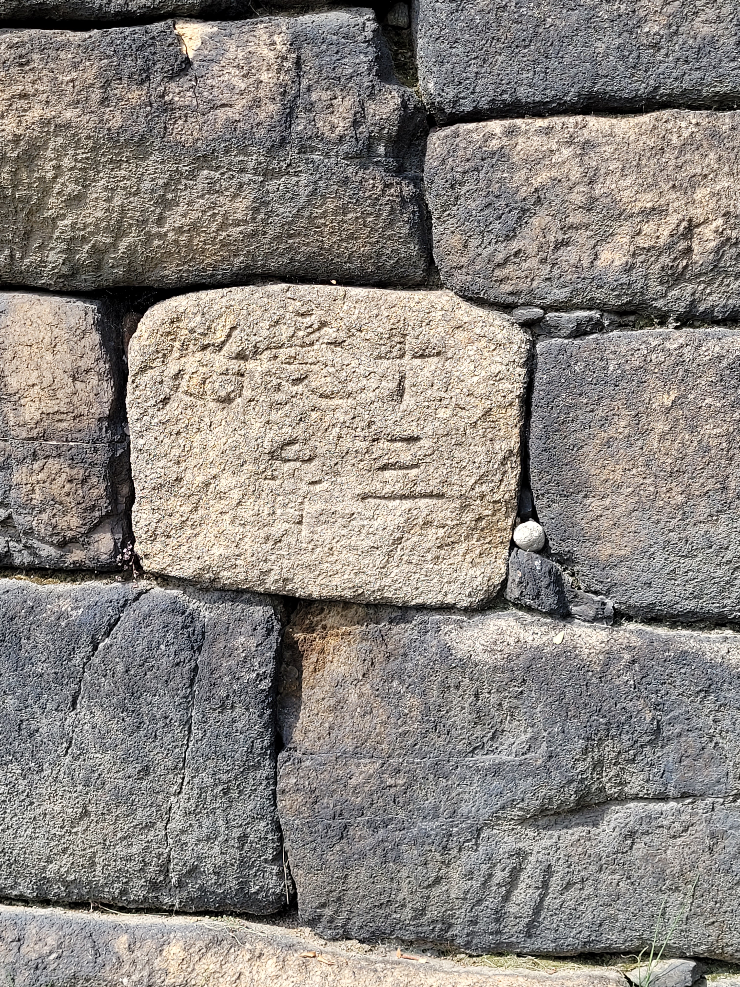
You will also see bits of inscription at times on the wall. King Sejong (remember him?) ruled that the name of the region that built the sections of the wall should be inscribed and if the wall collapsed, that region would bear the responsibility for its repair.
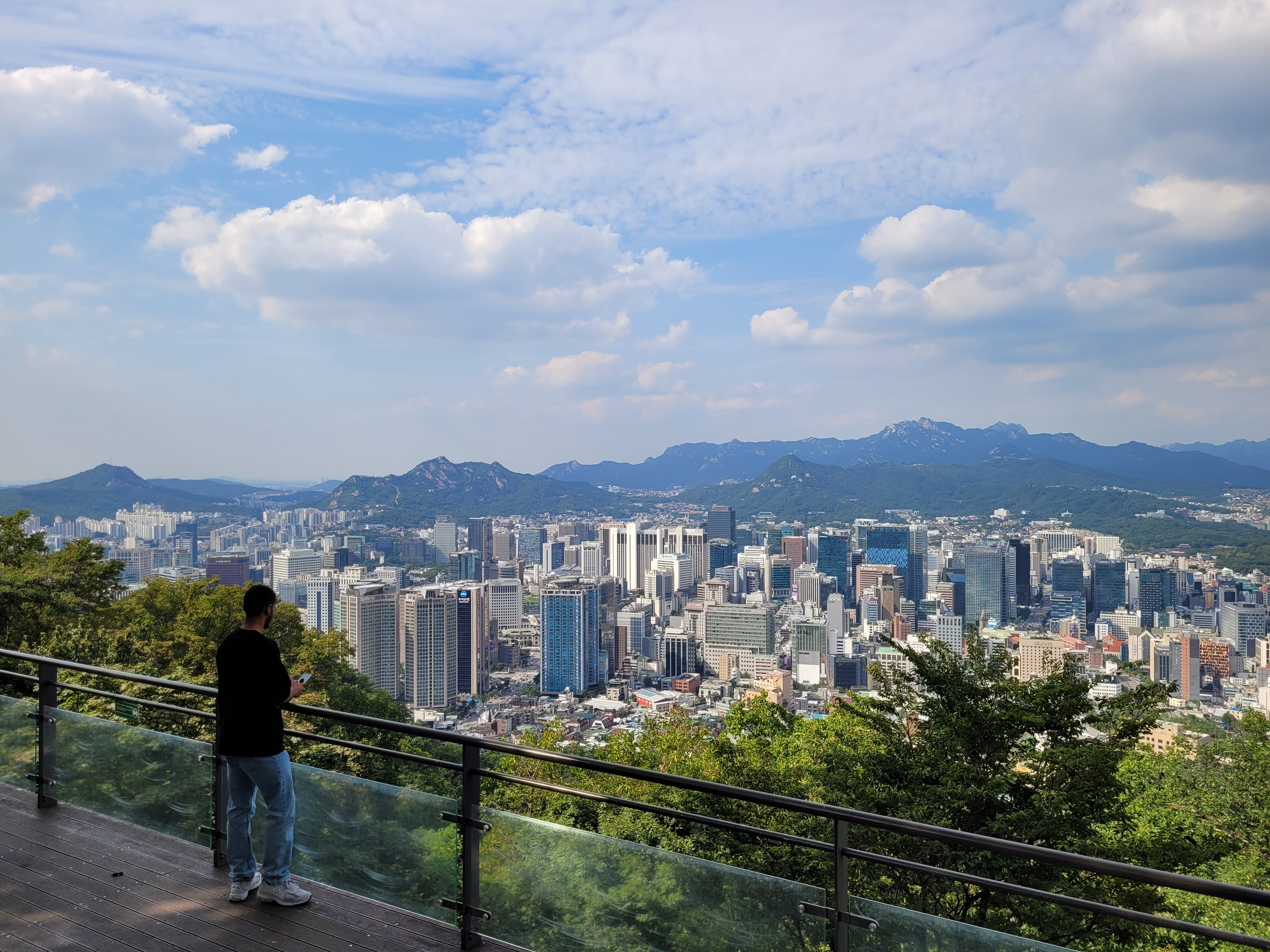
The scenery along the way differs from city streets (where you can be nosey like me about people’s houses), city parks with flowers and plants, and of course views from the mountains.
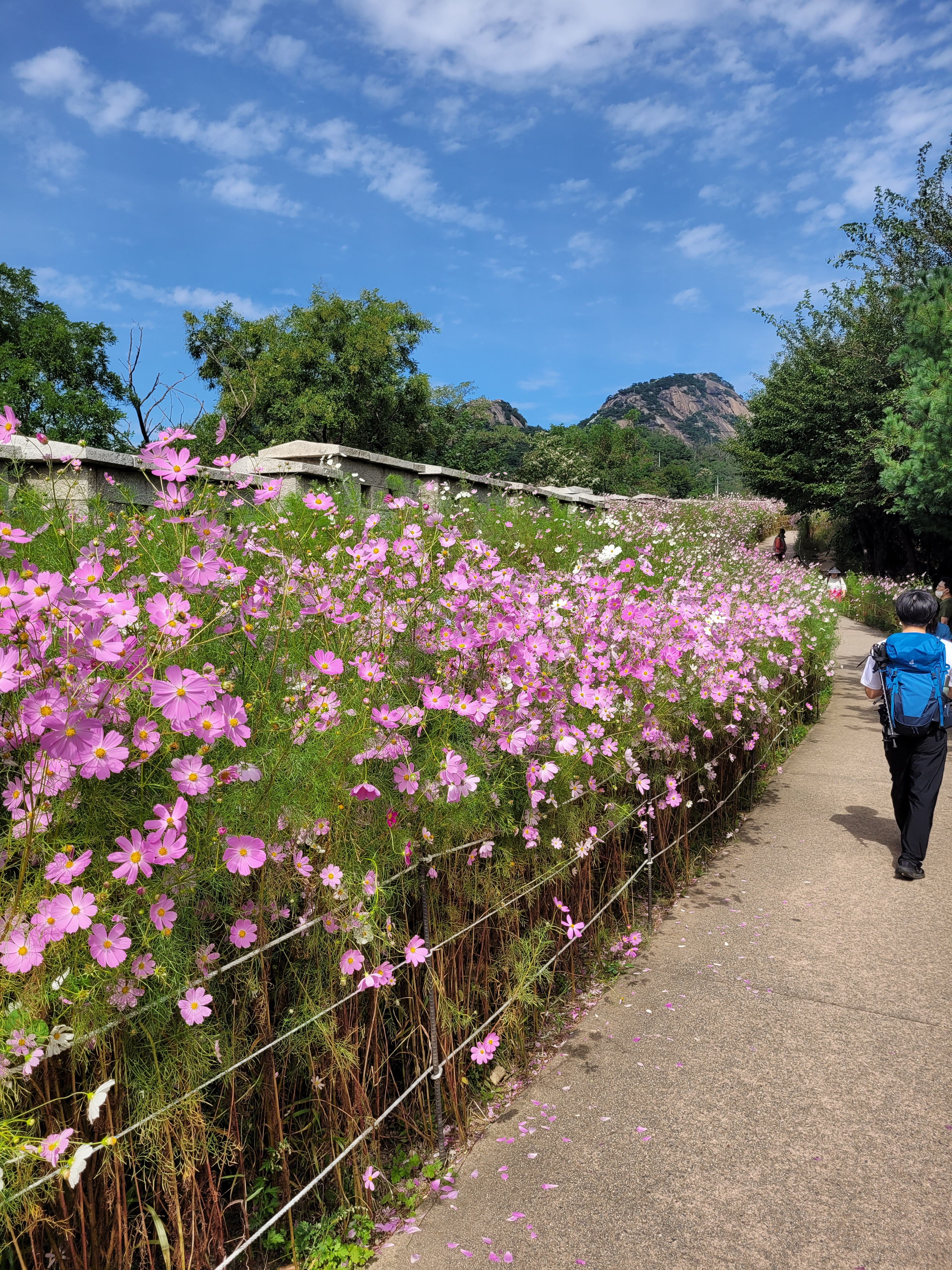

The three main mountains along the way as I mentioned are Naksan, Inwangsan, and Bugaksan.
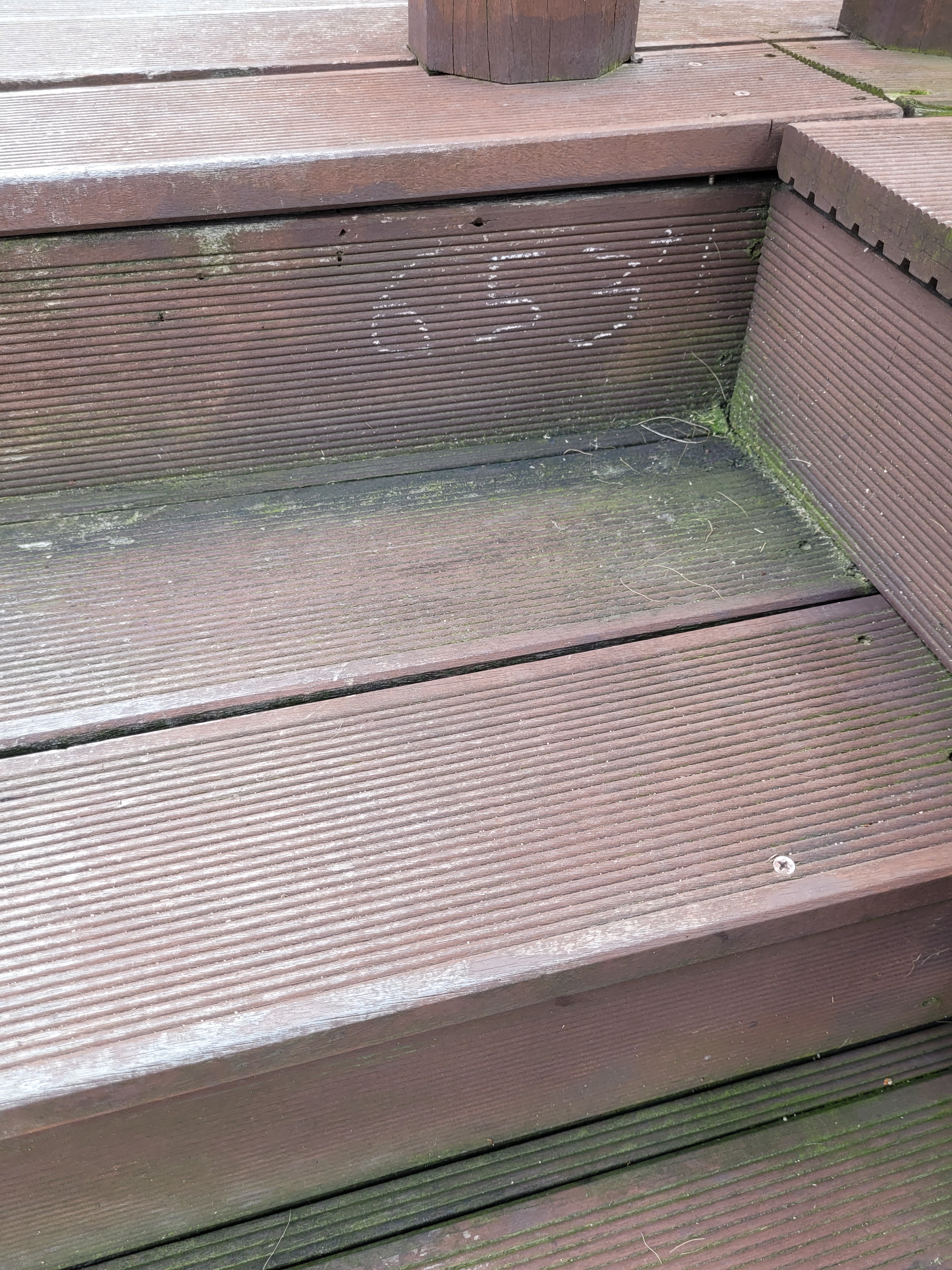
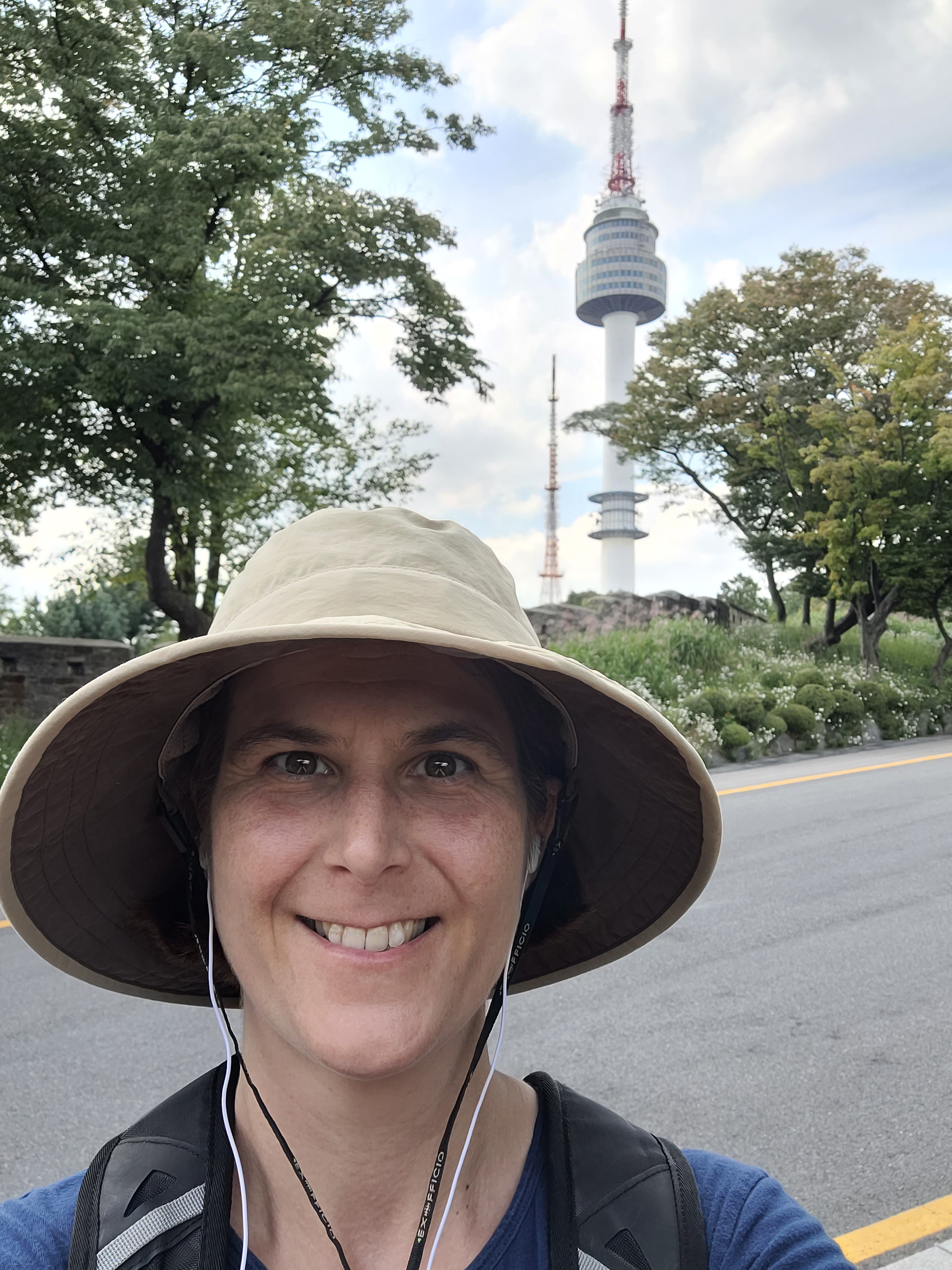
To level with you, Naksan (where the Namsan Tower is based) at 125m isn’t really a mountain, it’s only about halfway there. Still when you have to walk up over 650 stairs to get there (which someone handily numbered), you start to feel it’s OK to call it one.
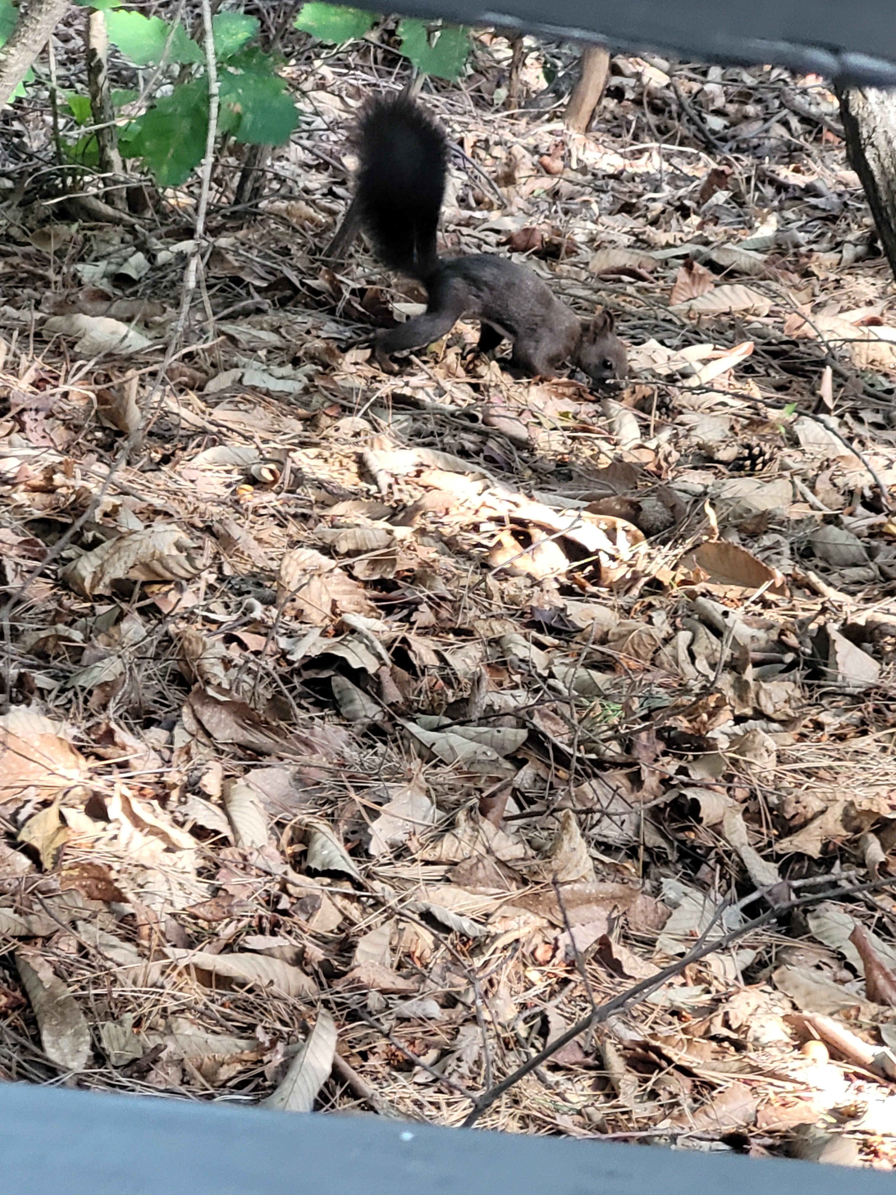
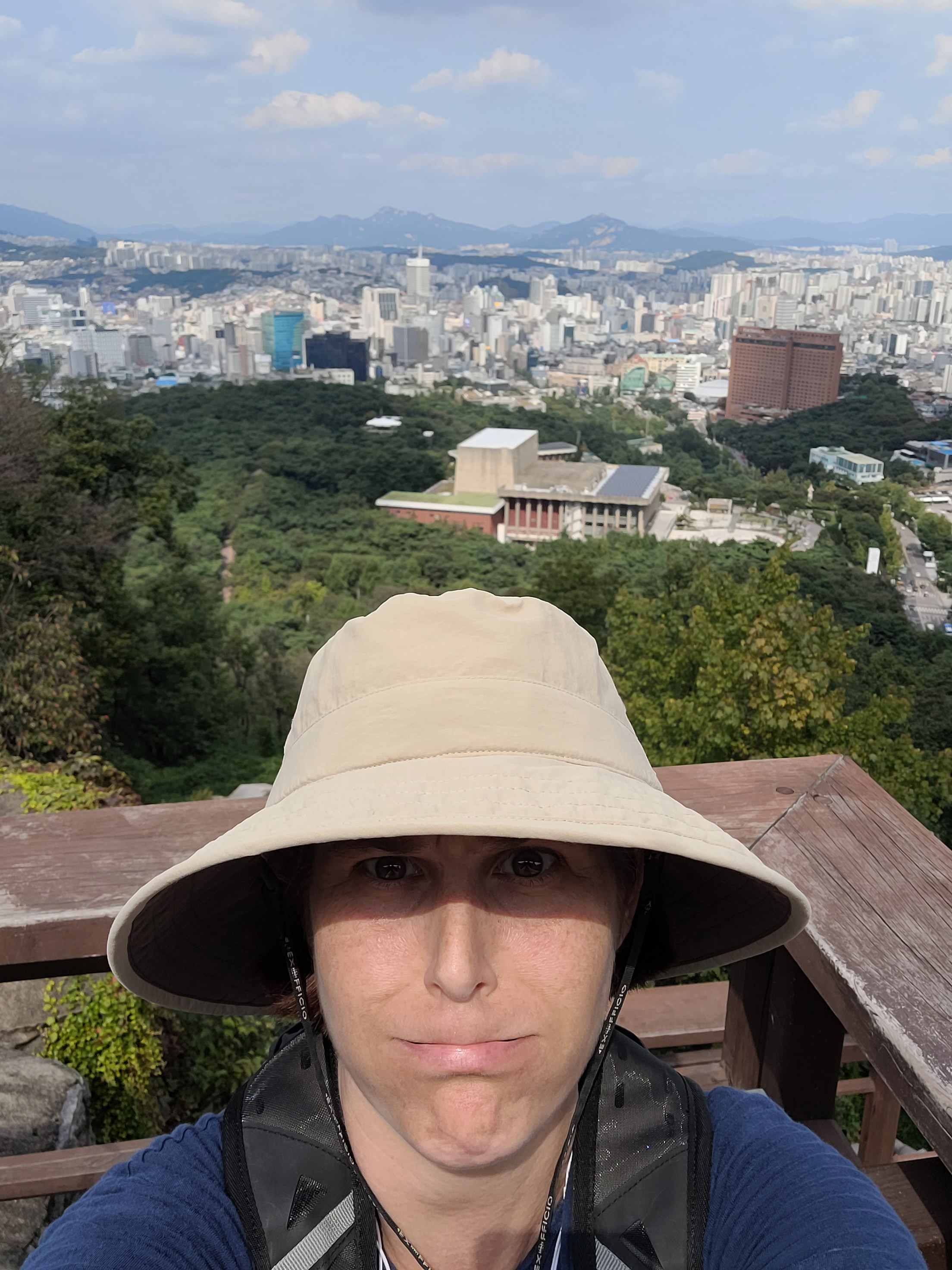
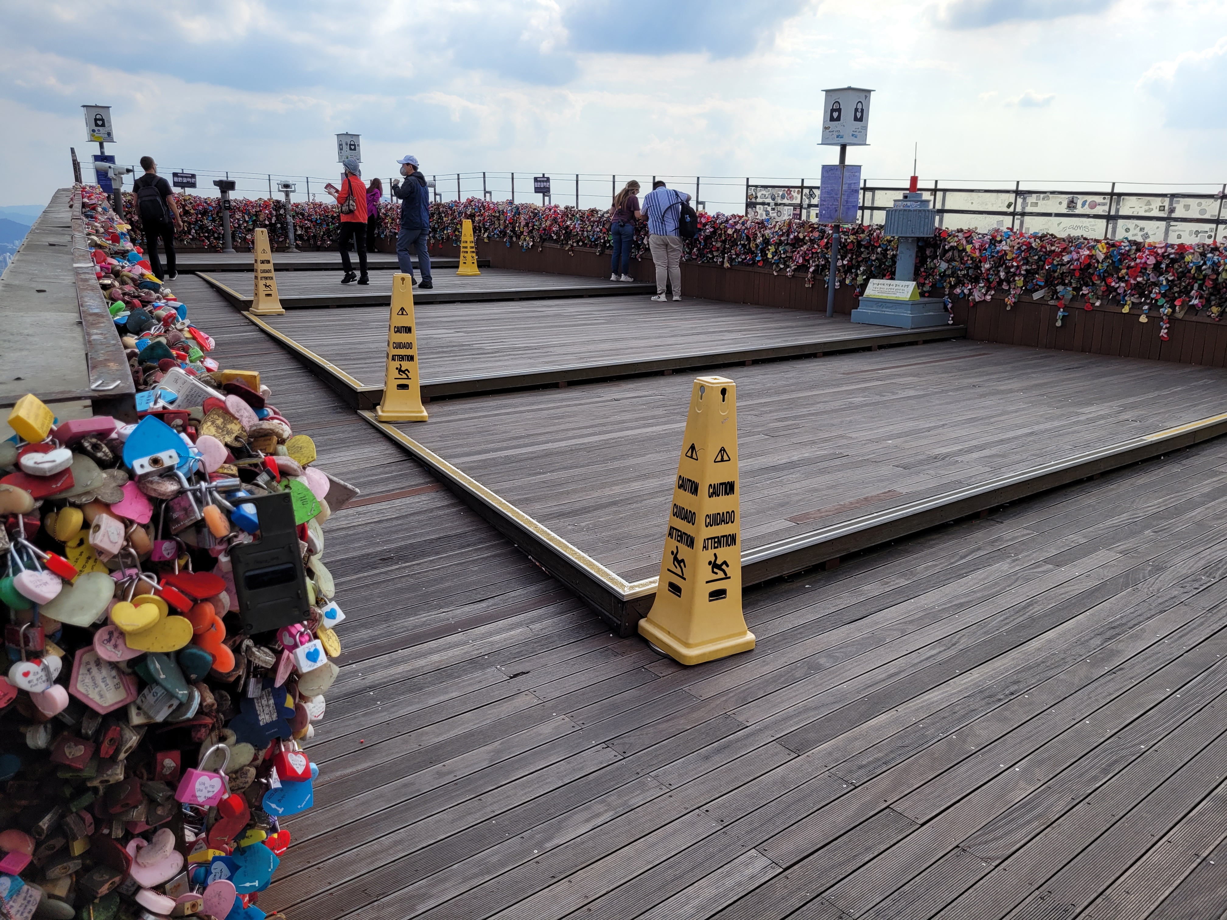
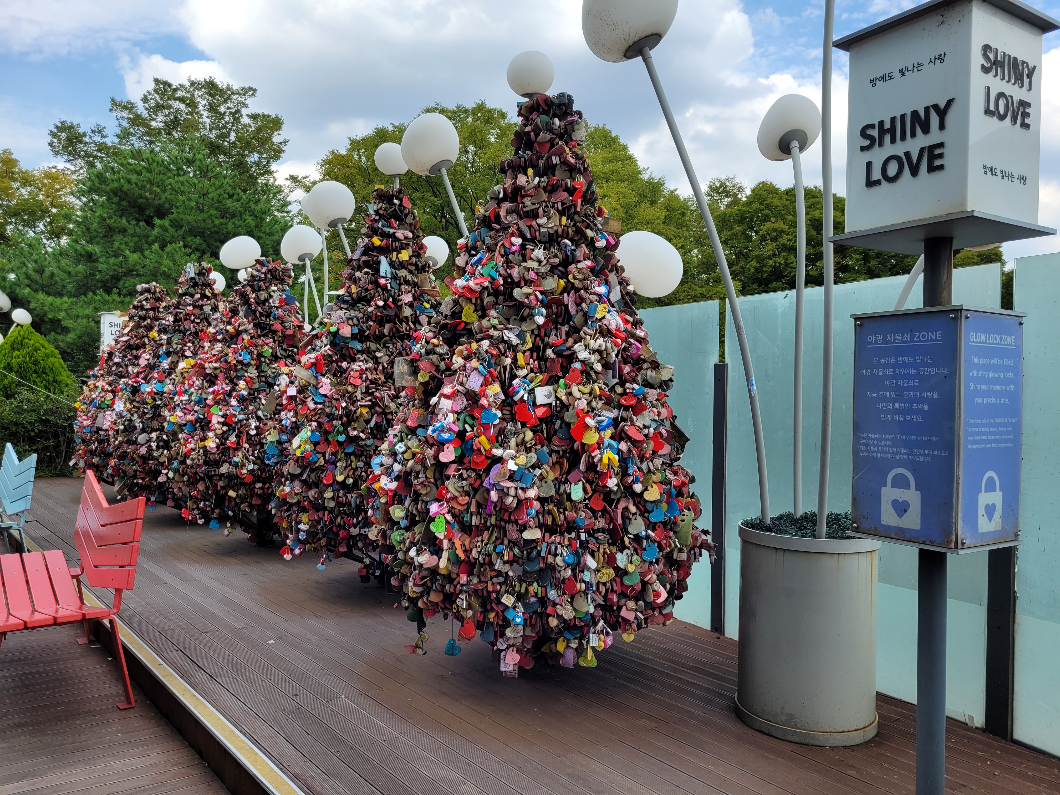
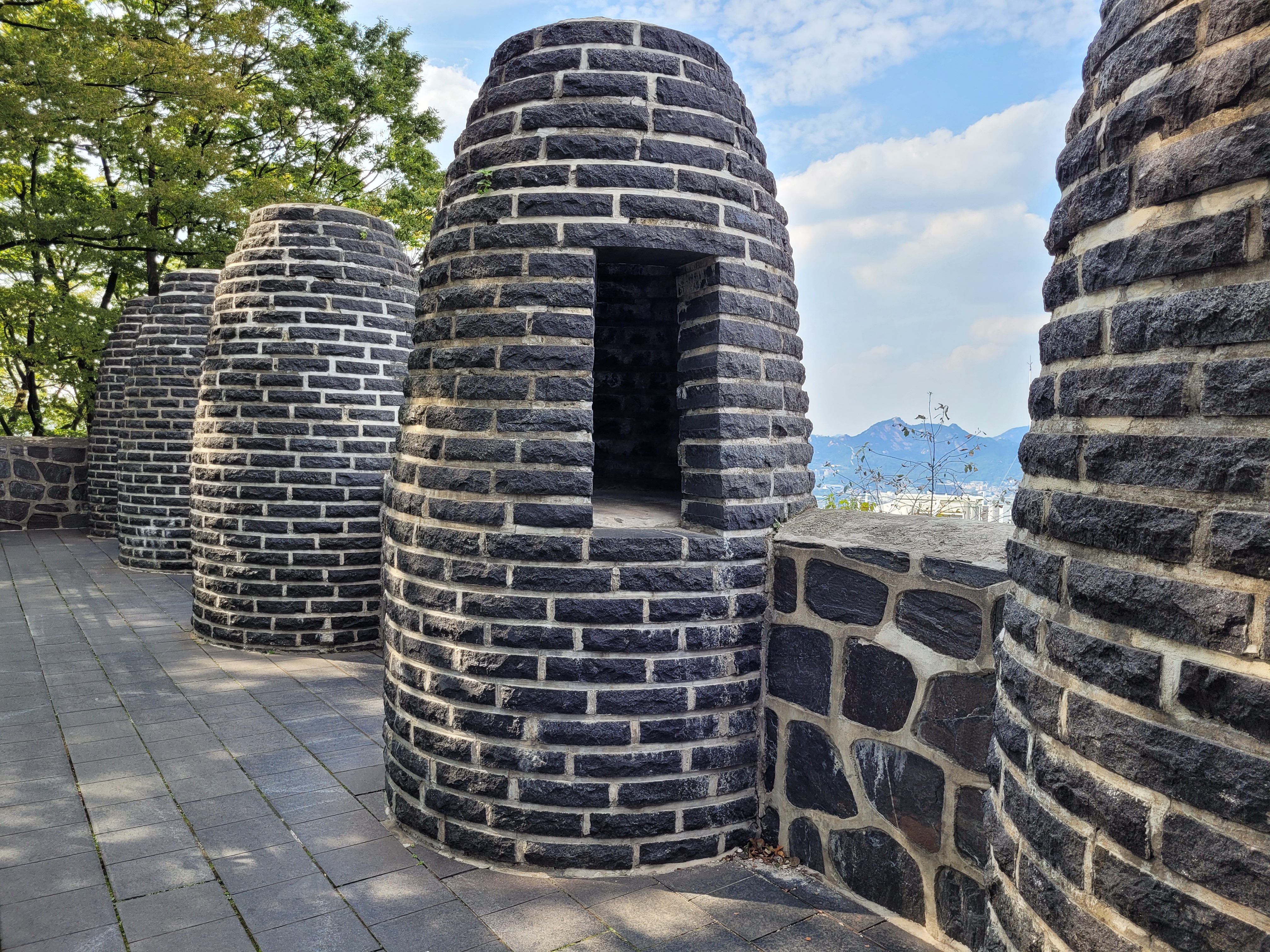
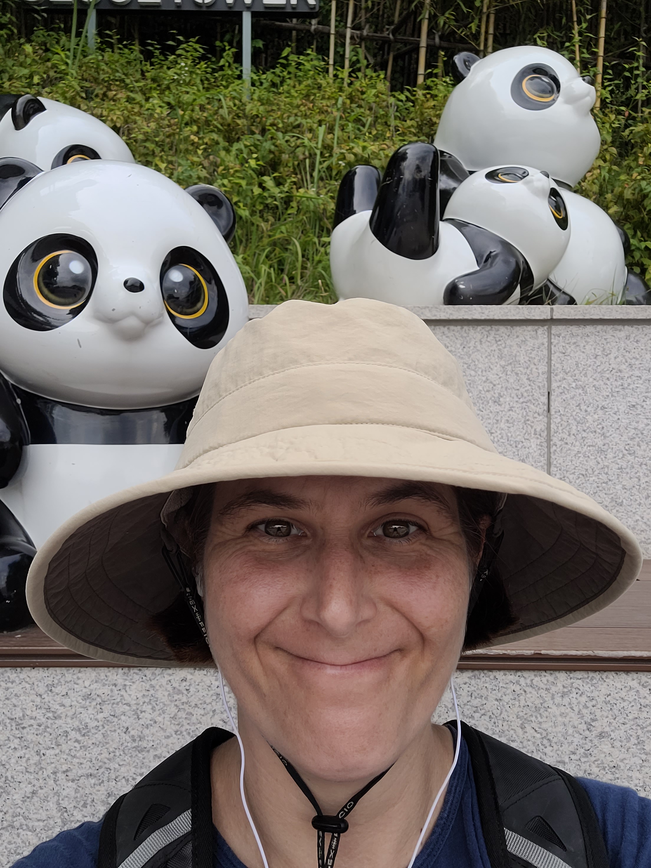
At the top you get a pretty decent view of Seoul and of course the tower itself is probably the best known landmark in Korea. Any drama watcher will have seen Namsan Tower about a gazillion times, including the infamous padlock wall of love (to clarify, it isn’t just one wall, there are padlocks EVERYWHERE). There are also four smoke beacons at the top of Naksan which were used in case of invasion. However, I didn’t expect pandas, they were a bit of a surprise…
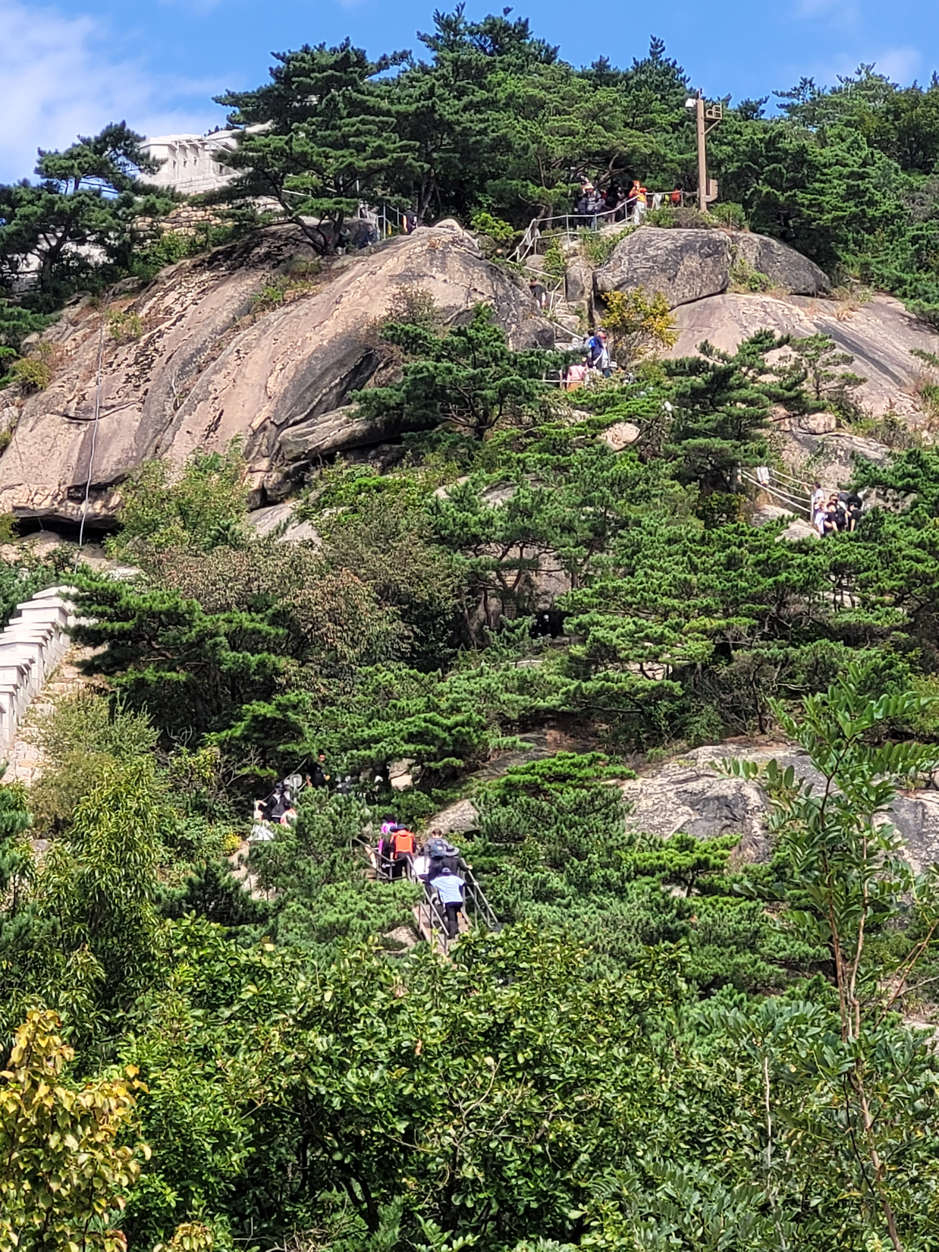
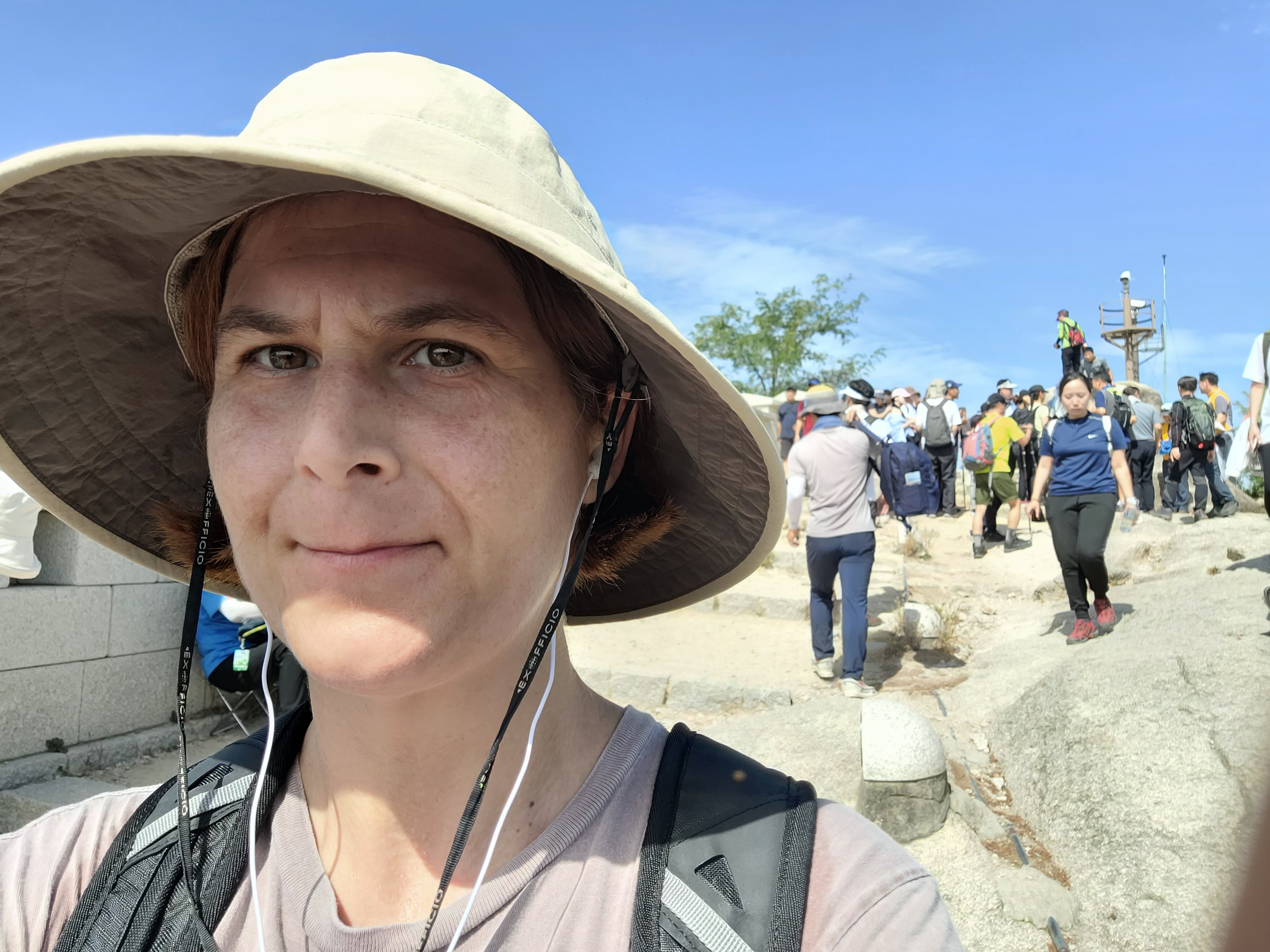
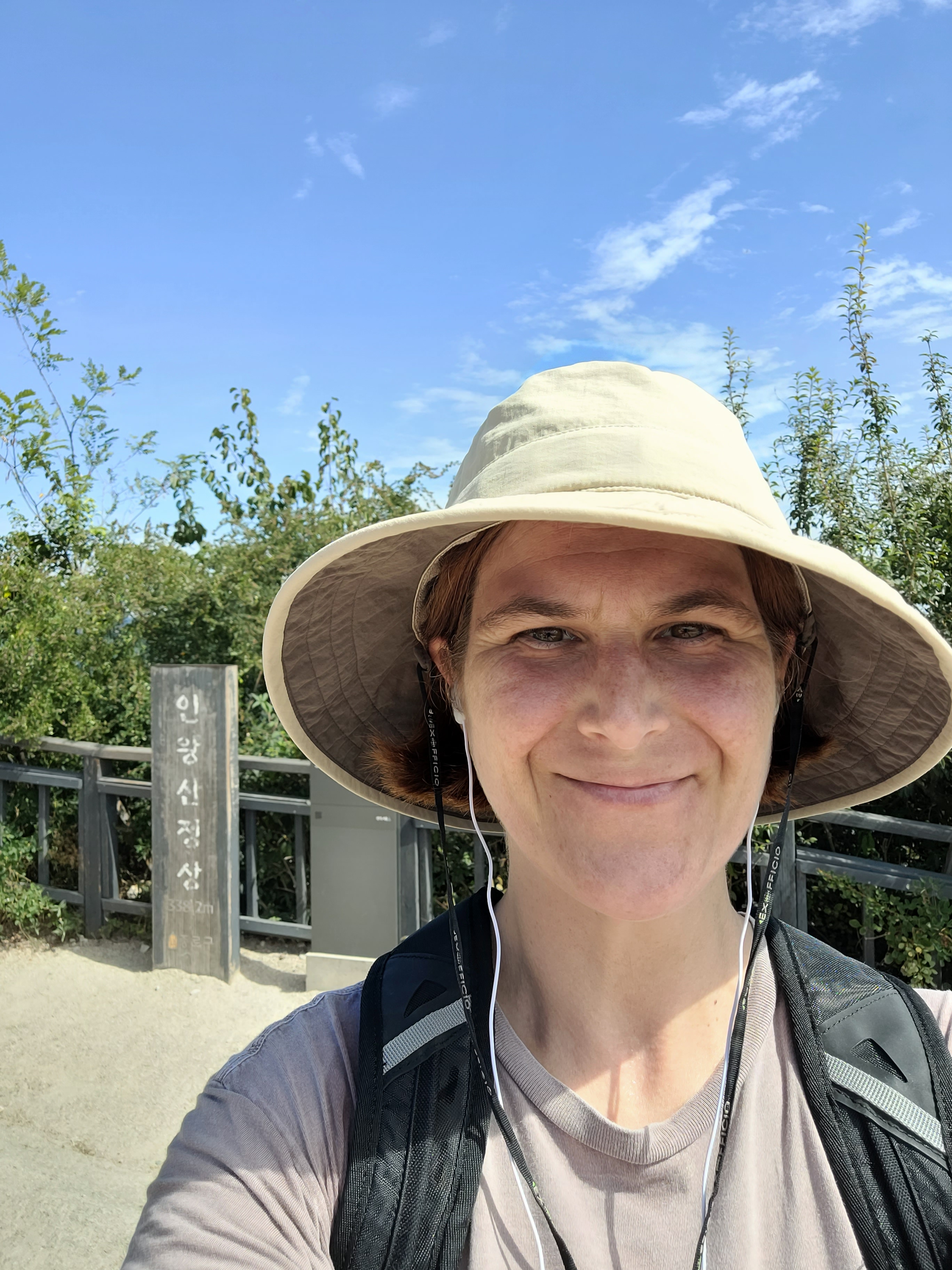
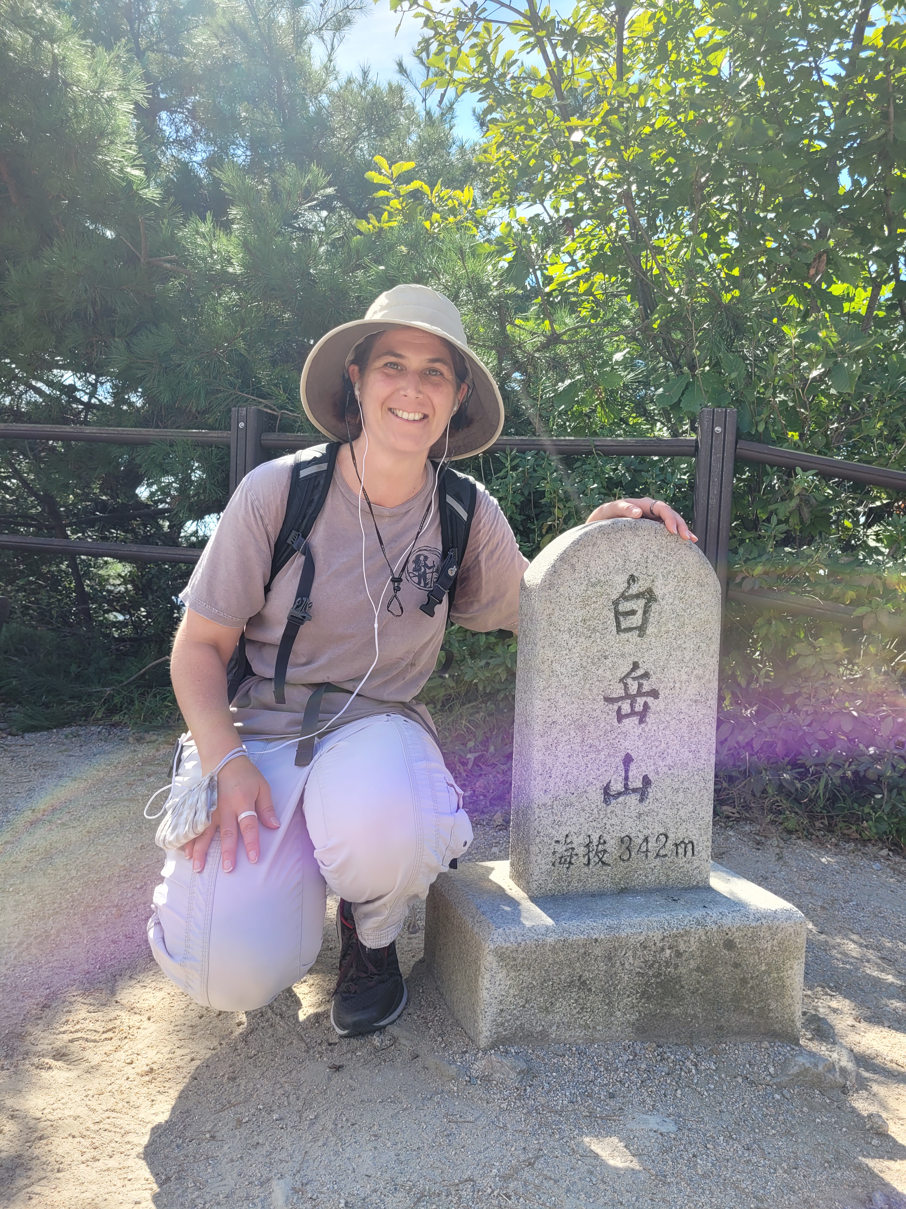
You certainly need the strength for Inwangsan and Bugaksan, at both over 300m they are proper mountains, you best expect to sweat and puff as you climb. Also expect company, being two of the most easily accessible mountains in the city, you’ll have plenty of people around you. I have more to say on this in a later hiking post…
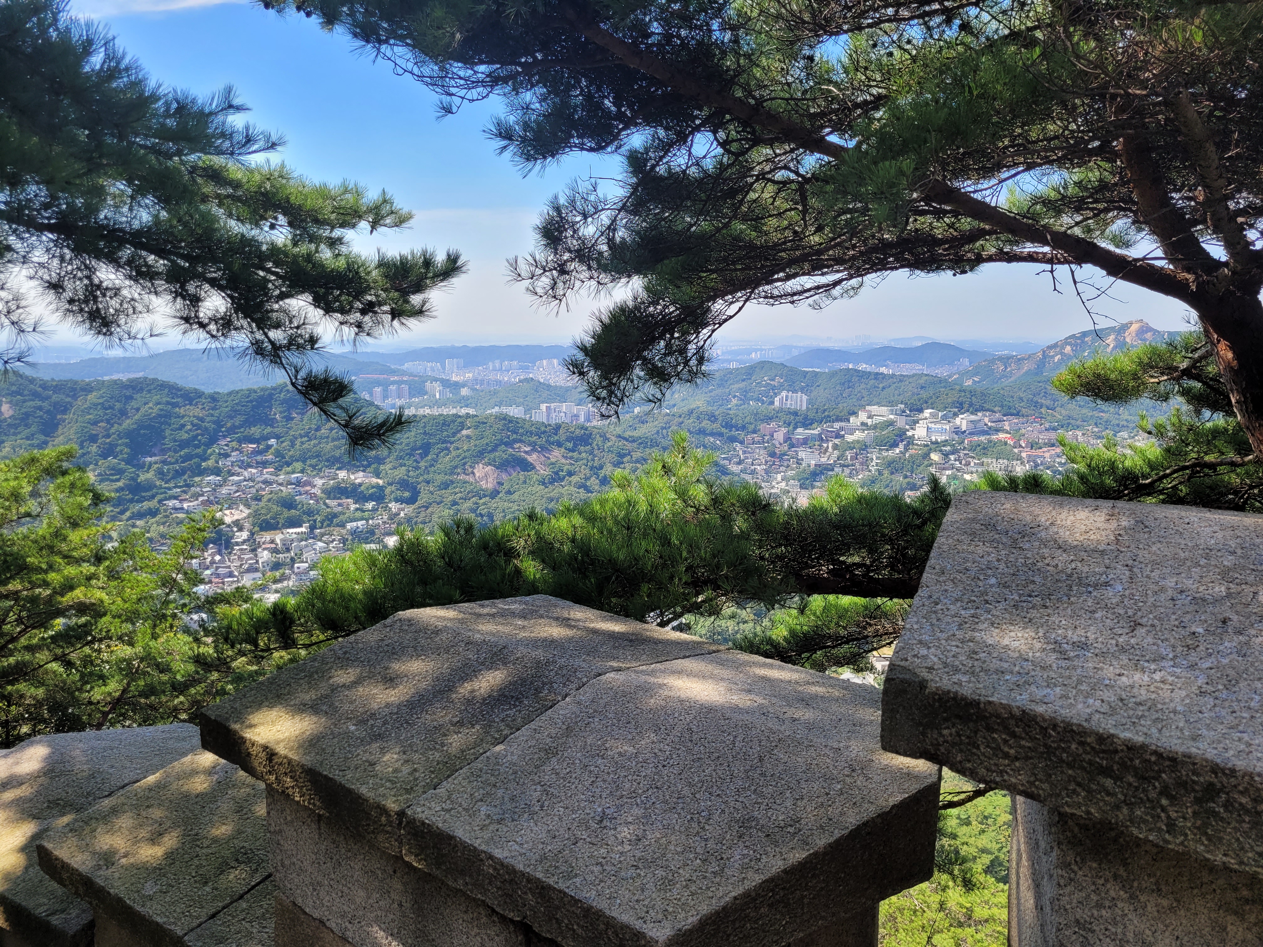
Again, pretty views of Seoul all round, but also interesting to discover that Bugaksan has only recently opened up to hiking, as this area lies directly behind Cheong Wa Dae (remember the Blue House?). According to signs along the path, in 1968 a unit of soldiers from North Korea managed to slip into Seoul and attacked the Blue House, escaping through the area the trail goes through. In fact, there is a tree marked showing bullet holes from a fight between the two forces.
This news however didn’t make the climb any easier, the steps any less plentiful, or the crowds fewer.
I still felt ace upon reaching both peaks though.
And there you have it, that pretty much sums up the City Wall Trail.
Hang on though, I have to make special mention of this detour before I go…
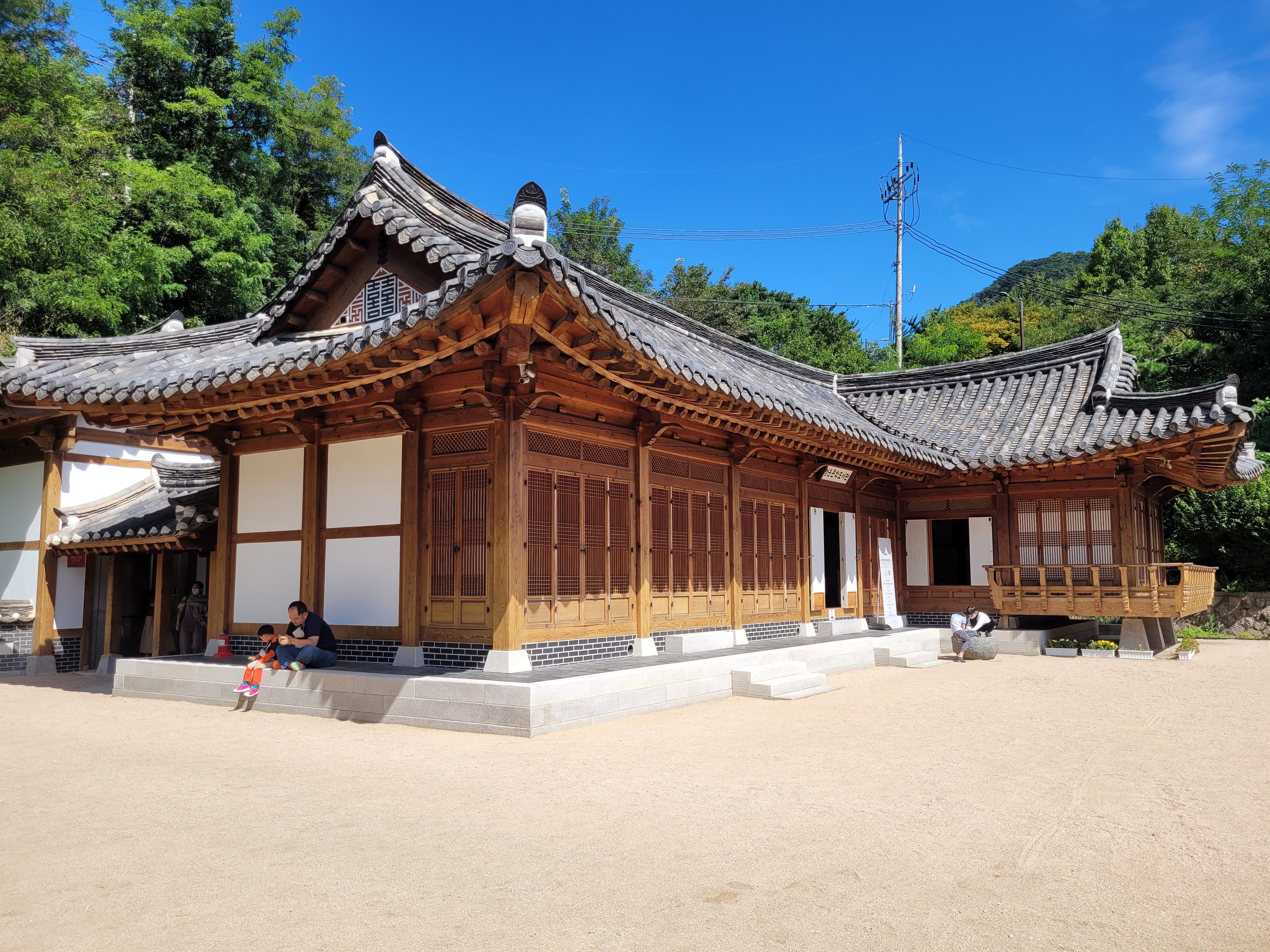
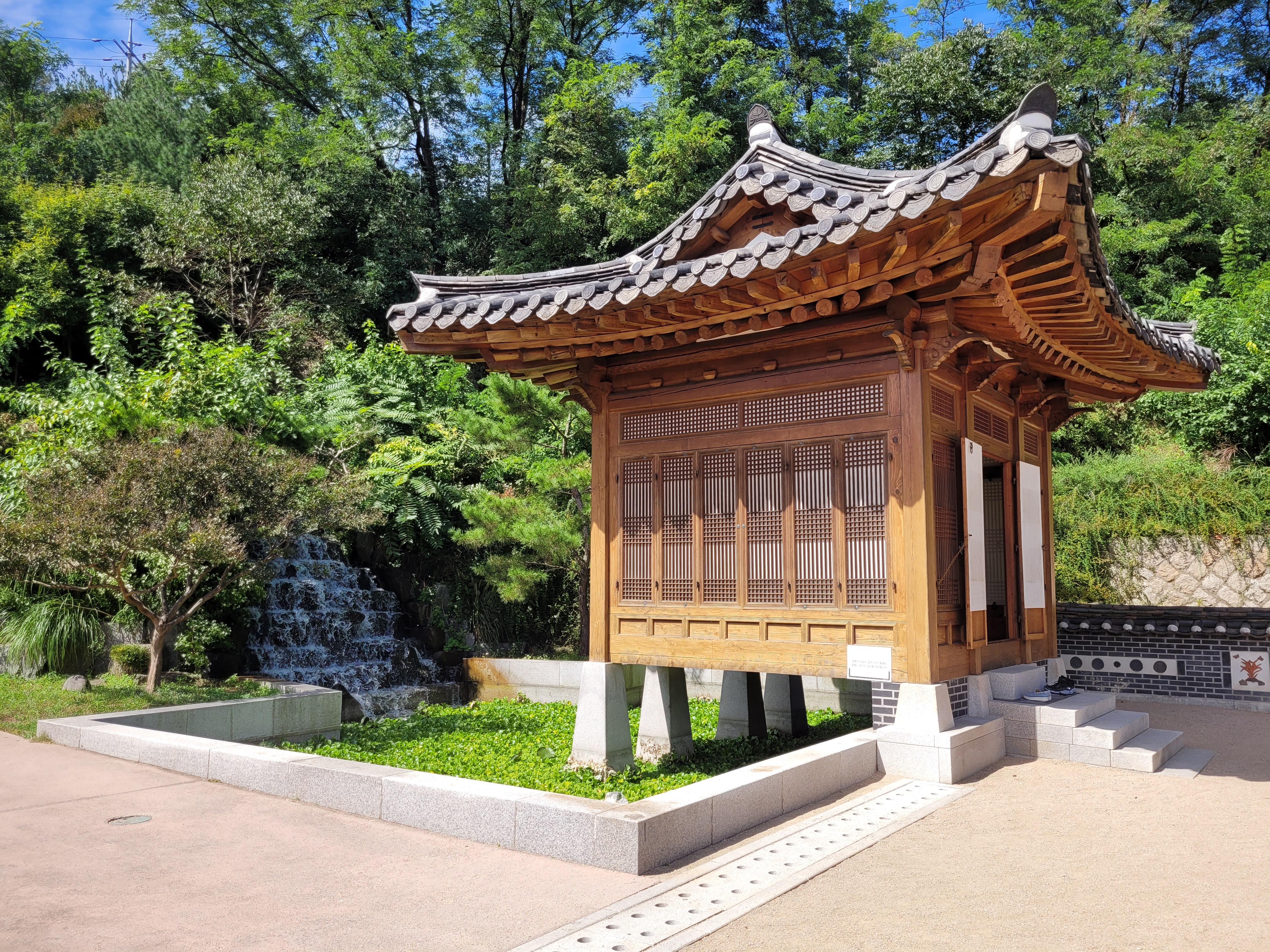
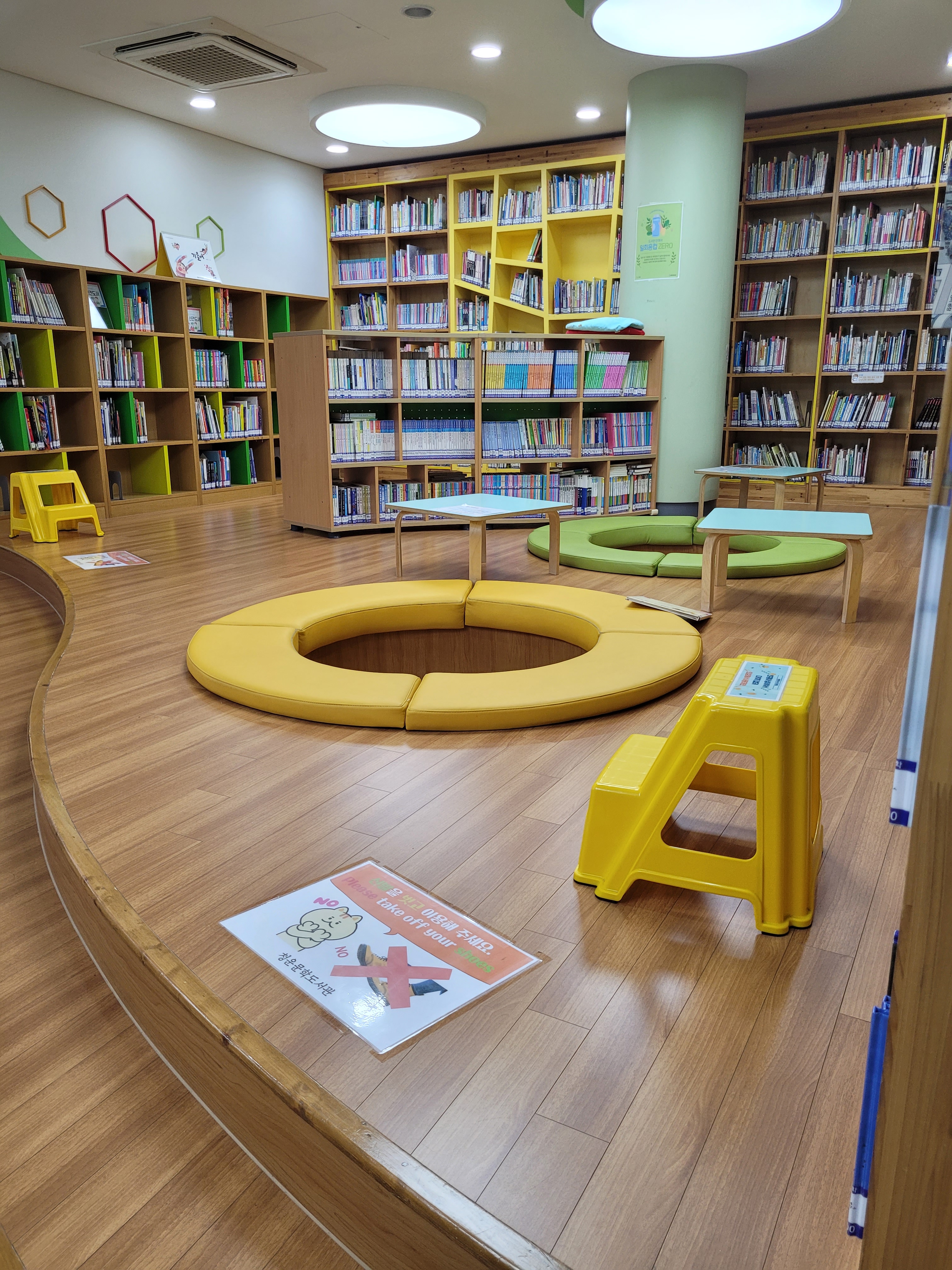
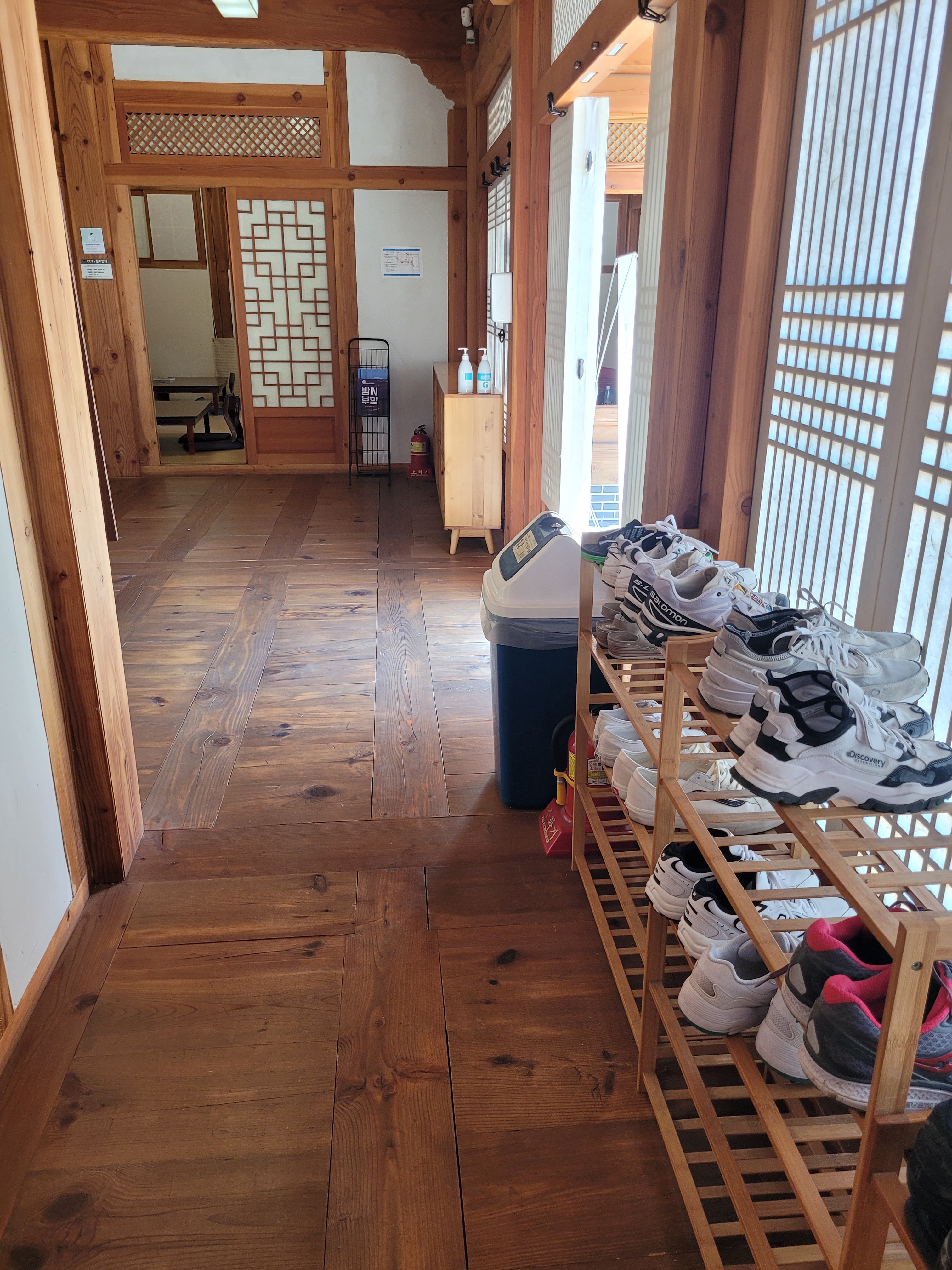
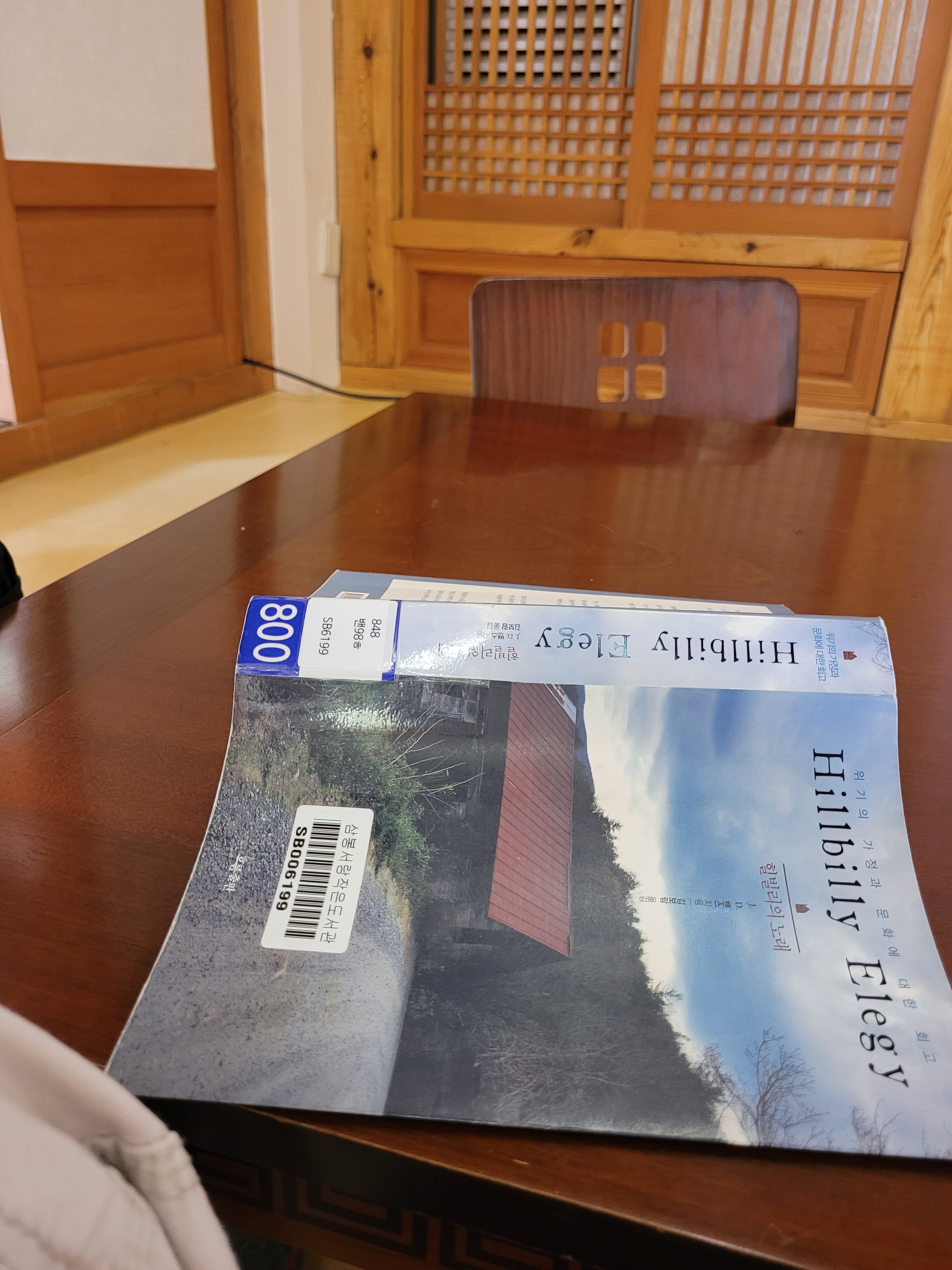
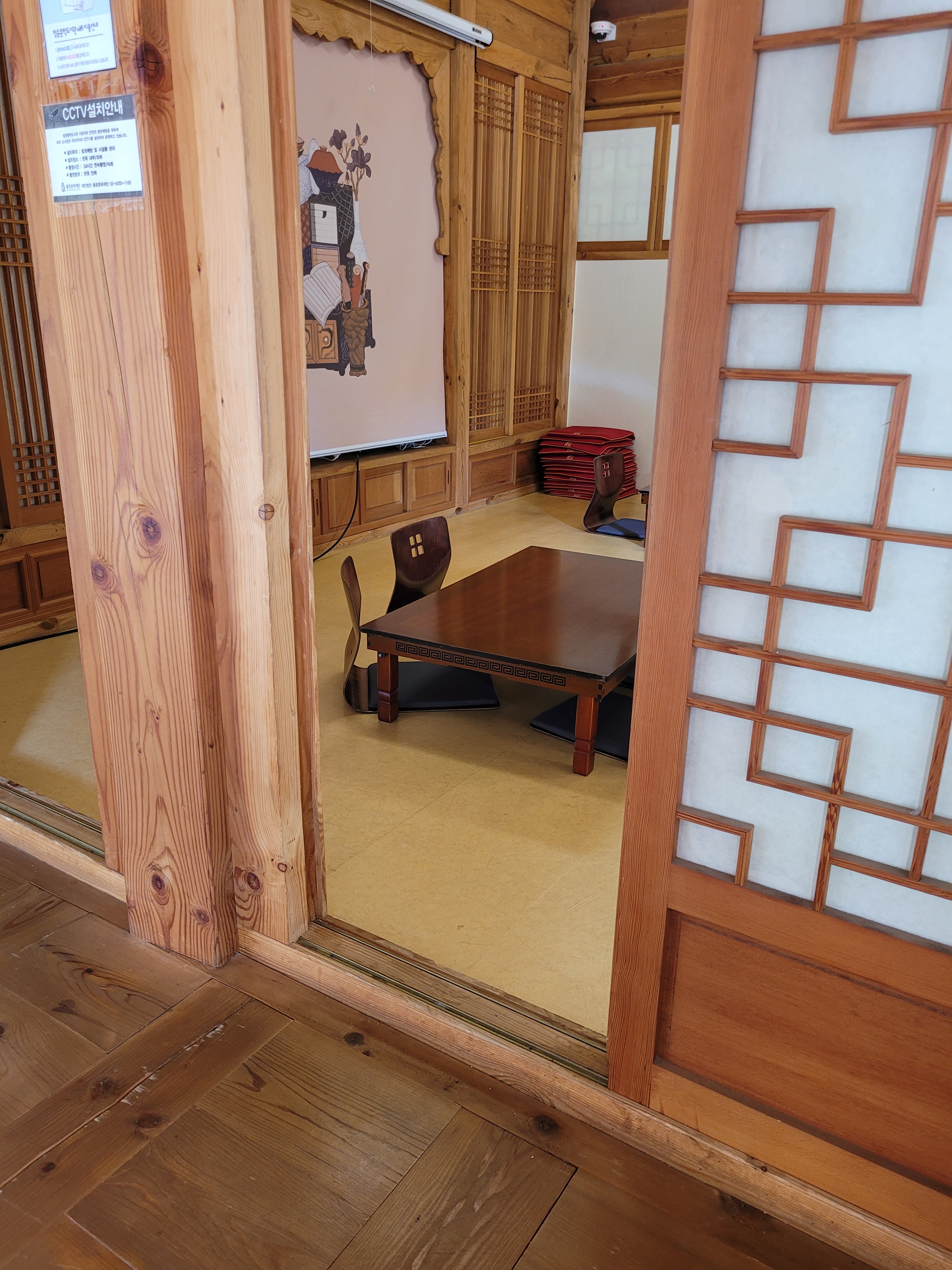
This is Cheongun Literature Library. It lies not far off the trail between Inwangsan and Bugaksan mountains, so if you feel like a breather between the two climbs (I know I did), this is a great space to come and relax in. The downstairs section functions as a standard looking library, but the upstairs section is a hanok, complete with a small pavilion and waterfall, and a reading room that you can go and relax in. Which of course I did. Shoes off first and then have a seat in the really cool wooden floor chairs. I loved it. I even dedicated about 20 minutes into practicing my Korean reading (understanding none of it though).
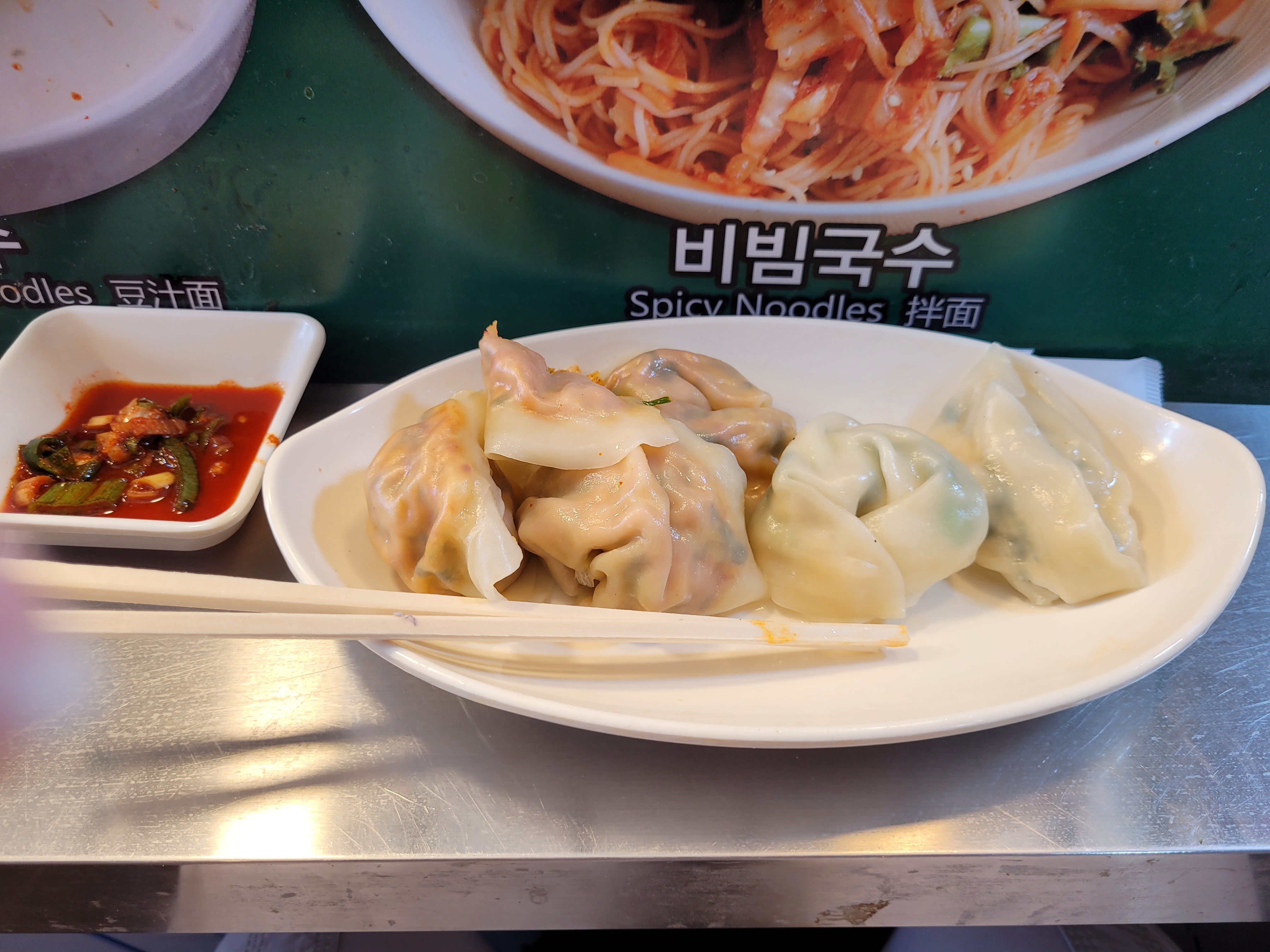
And that’s it. Well, of course except for the celebratory mandu at the market on the way home 🙂
See you next time for…yet another hike!

I’ve never seen a heart padlock. And now you’ve seen 80,000 of them!
LikeLiked by 1 person
They love anything heart-shaped in this country!
LikeLike