It’s time to talk National Parks, folks.
Therefore the next couple of blogs come with this warning – if you have no interest in hiking, seeing pictures of pretty mountain scenes, or reading my thoughts on Korean national parks; please feel free to skip the next few (dozen) entries.
I already had a small taste of the national park offerings here in Korea while in Seoul, having previously hiked that she-devil rock face of a mountain at Bukhansan. However, the reward for my hard work was my lovely hiking passport that has now become one of my most sacred possessions (even more so than my T-card). I then followed this up with my ‘slightly successful, but not quite successful’ hike at Hallasan. And I really can’t deny it, the more hiking that I do here, the more obsessed I have become about visiting each of the 22 national parks to see what they offer (and yes, collect stamps).
Rather than making you all slog through a blow by blow account of each of my hikes, in each post I’m going to summarise a couple of the parks I have visited, point out the best and worst bits, and stuff in a couple pictures that will hopefully make you want to sling on a backpack and book a ticket to South Korea.
Let’s start off with a brief blurb by me regarding the Korean National Park Service (KNPS) and my thoughts on it in general for anyone out there who might actually be interested in doing some hiking.
For those who may have forgotten already, South Korea has 22 national parks (Yes 22!); including the one on Jeju Island and a few that cover the marine and coastal areas (and so are rather spread out over numerous islands). This totally makes me think the UK is slacking off in a major way, given we only have 15 national parks to our name and are over twice the size of South Korea.
However, the vast majority of Korea is mountainous – approximately 70% – and I have confirmed this with my own eyes, there is nowhere you go where you do not have a view of some mountainous terrain and every road trip contains numerous tunnels through the mountains. Therefore, I don’t know if this makes it slightly easier for the Koreans to simply ring fence large areas for national park purposes, but quite possibly so and very much worth the effort if that’s the case. I really have fallen in love with having mountains in my view no matter where I look.
So anyway, that’s a big thumbs up for all of the public land you can go hiking on.
To actually go hiking, well, the planning can be a little cumbersome if you are a foreigner like me, but maybe not so tough for Koreans themselves. The KNPS has multiple language versions of their website, so you can go online and check the locations of the parks, some basic entry information, and some of the trails they highlight. But that’s roughly where the helpfulness ends.

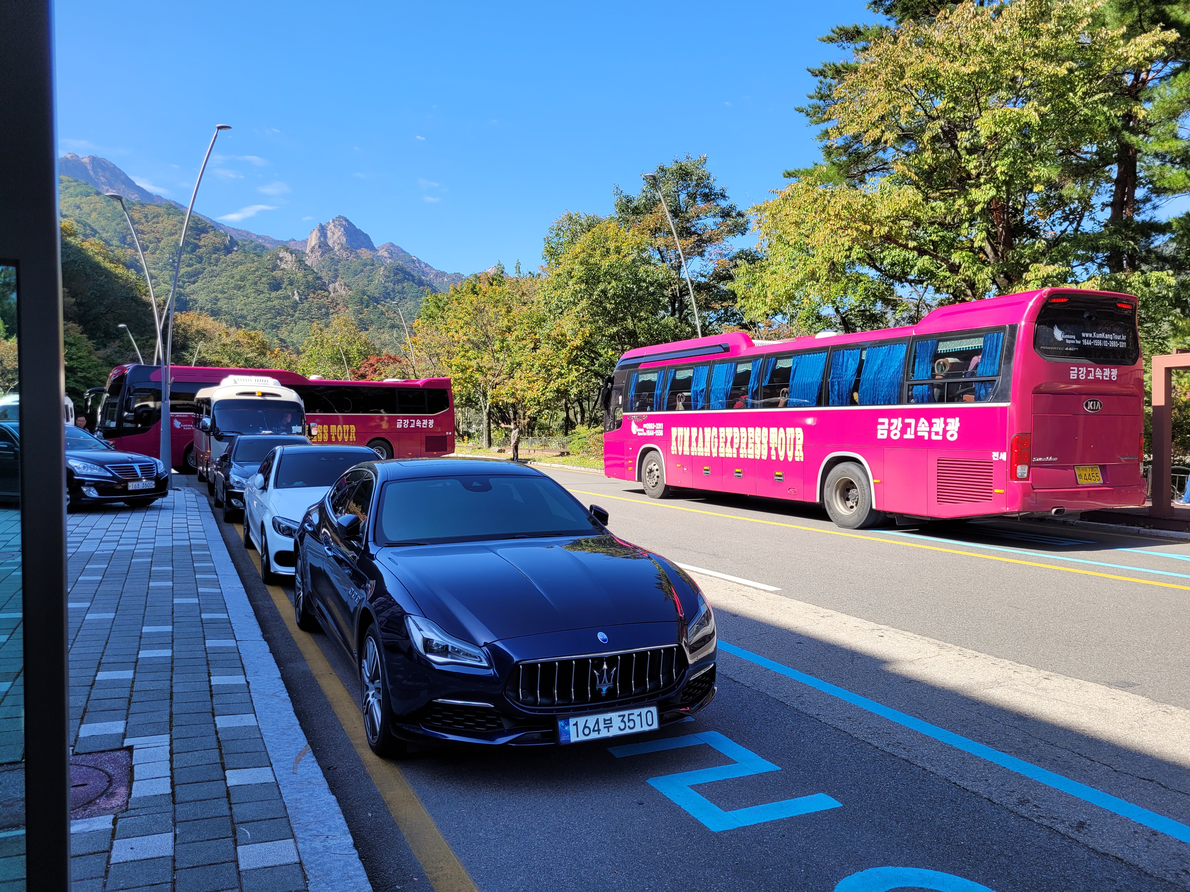
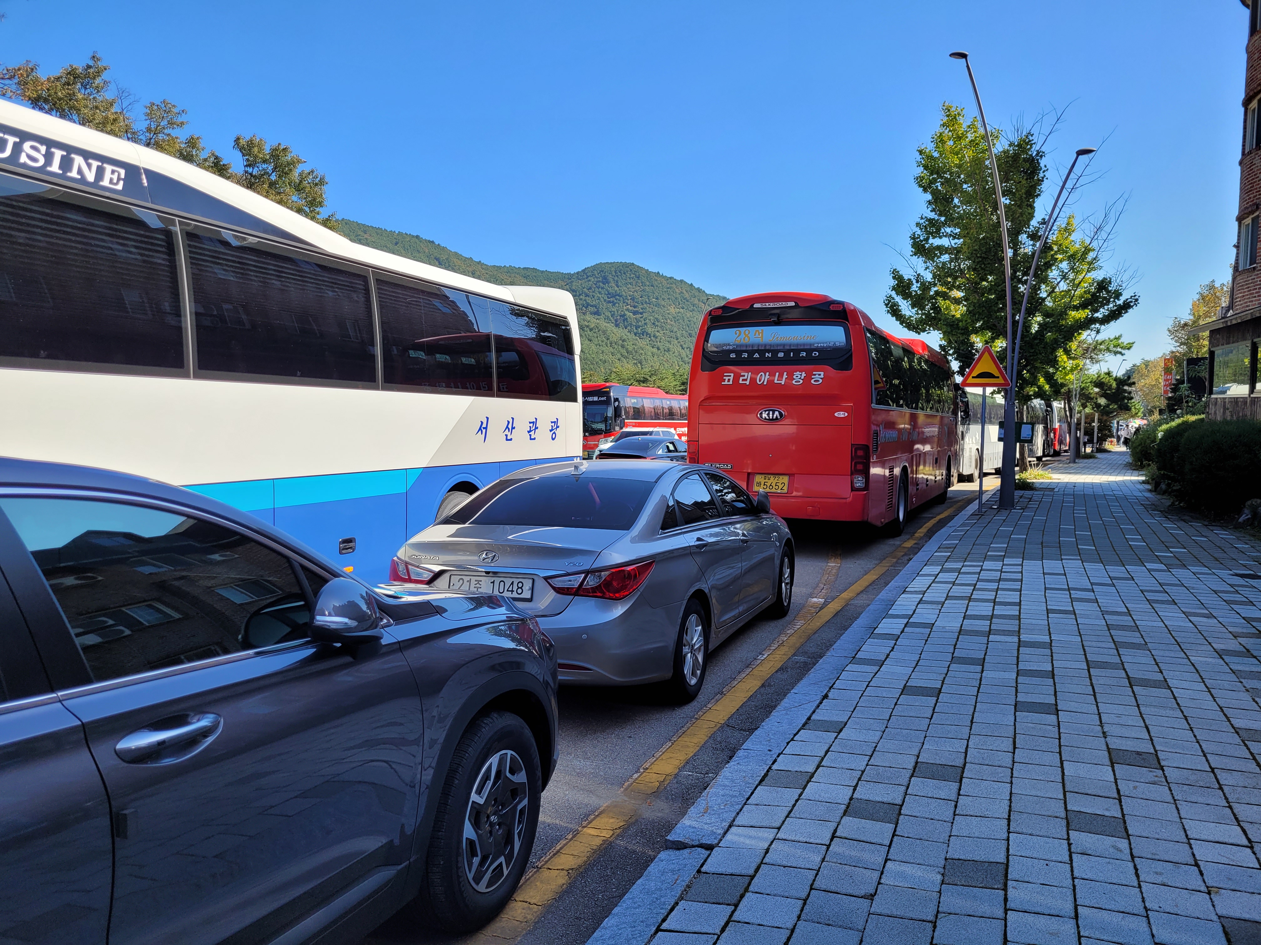
As I’ve discovered, each national park has multiple entry points and different rules for visiting. Some locations have massive car parks, big entrance booths, car parking and visiting fees; whereas others might just have a small patch of gravel to park a car and a sign pointing upwards to a mountain peak with not another soul in sight. As a general rule of thumb, I budget ₩5,000 ($3.50) for parking and another ₩4,000-6000 for park entry fees, just to be prepared.
To find these locations, well, you best download yourself Kakao maps and Naver maps, and then go on a google search for any other people who have hiked these locations for additional information about specific parking areas and trail heads, what to expect on arrival, what the trail conditions are like, expected hiking times etc.
At this point I am giving a shout out to the website Peaks and Penguins: https://www.peaksandpenguins.com/south-korea/ – this is a couple who are trail runners (yes, the thought makes me break out into a cold sweat too). So far, for each park I have visited, their website has given me some foresight and good ideas on park trails I may or may not visit.
In addition to the general hike plan, a big piece of information – NOT ALL LOCATIONS HAVE STAMPING POSTS. This is very important if you are collecting passport stamps like me. Only the main National Park Offices seem guaranteed to have the stamp pads, anything you see on a map marked as a Ranger Post or Information Booth means nothing. The ranger posts I have come across have all been closed (possibly only open at the height of the season?) and so when I plan my hike I also have to account for the drive to find the nearest Park Office (which could be up to an hour drive away, though a good way to see the parts of the park I didn’t hike) and make sure to do so during open hours!
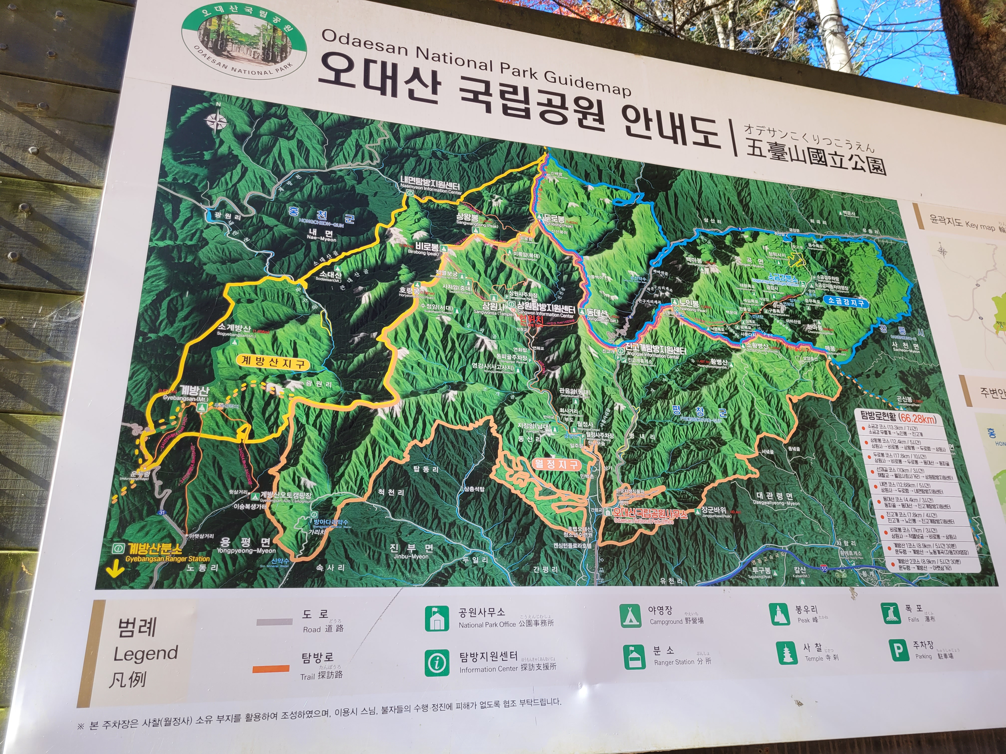
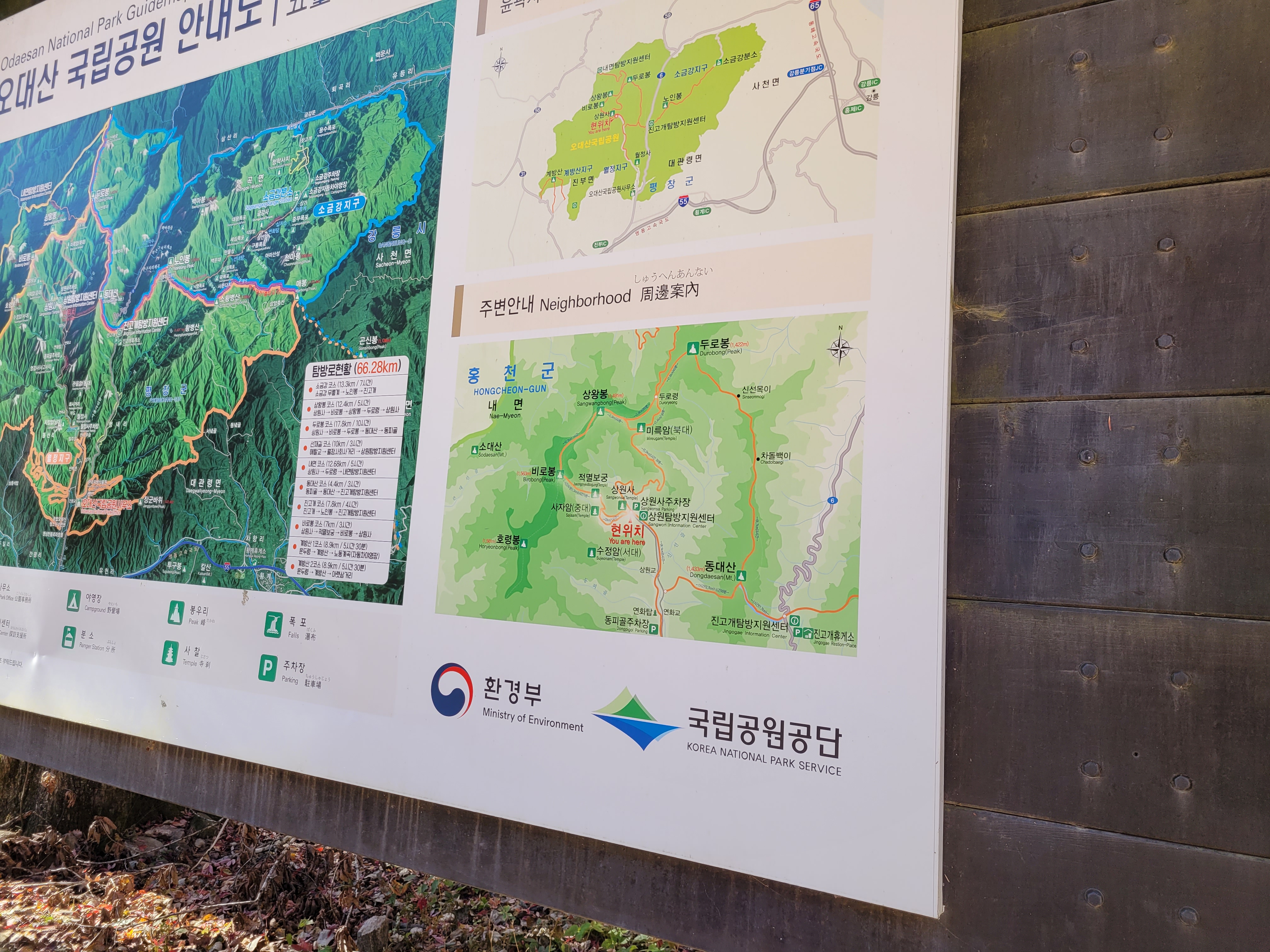
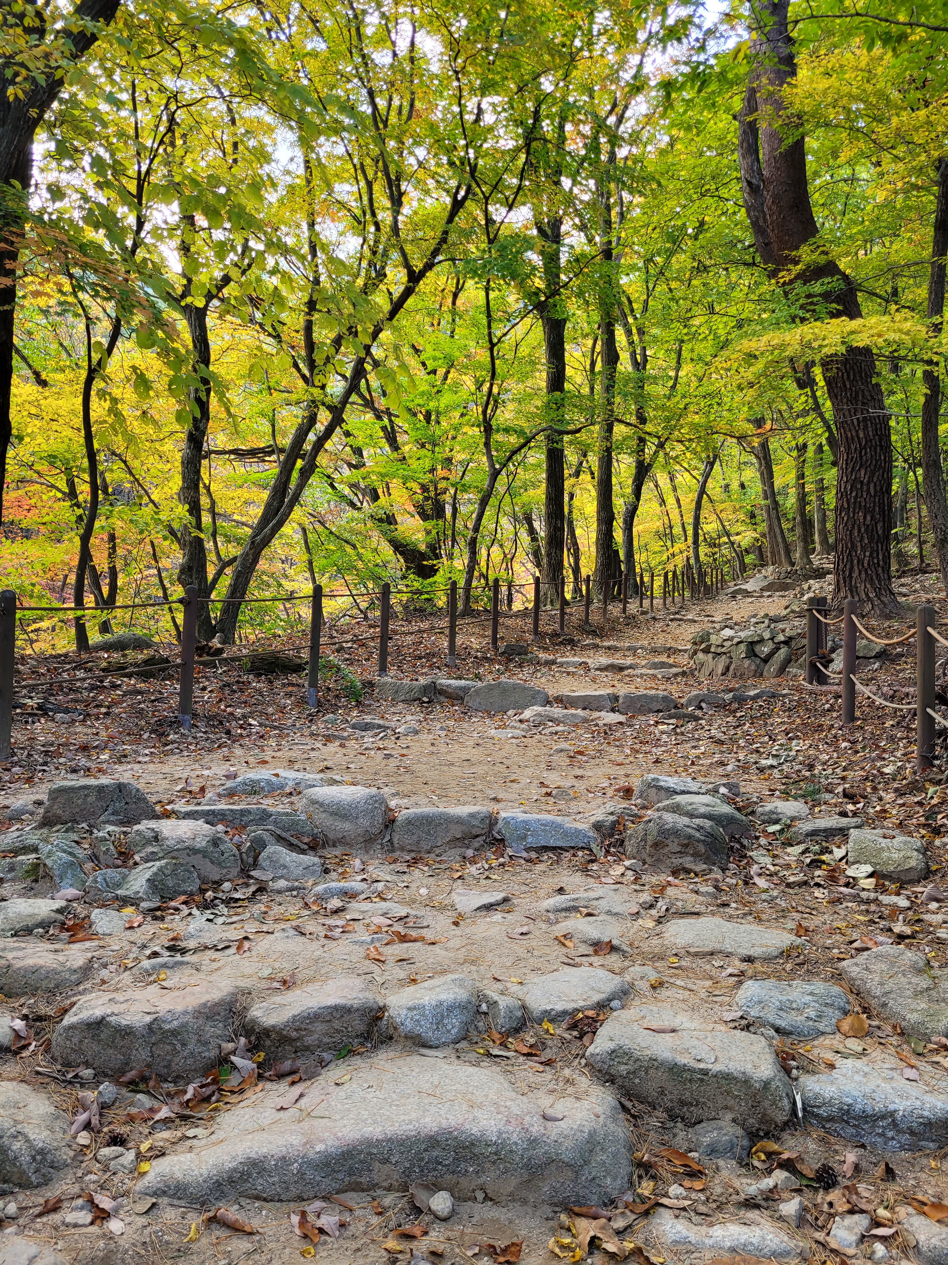
Final bits. The more parks I have visited, the more I have gotten used to the maps that are provided. While still not ideal, generally the trailheads have a big map covering the whole park and then a small version with the trails local to where you are. I always take a photo of these so I have it to refer to while walking.
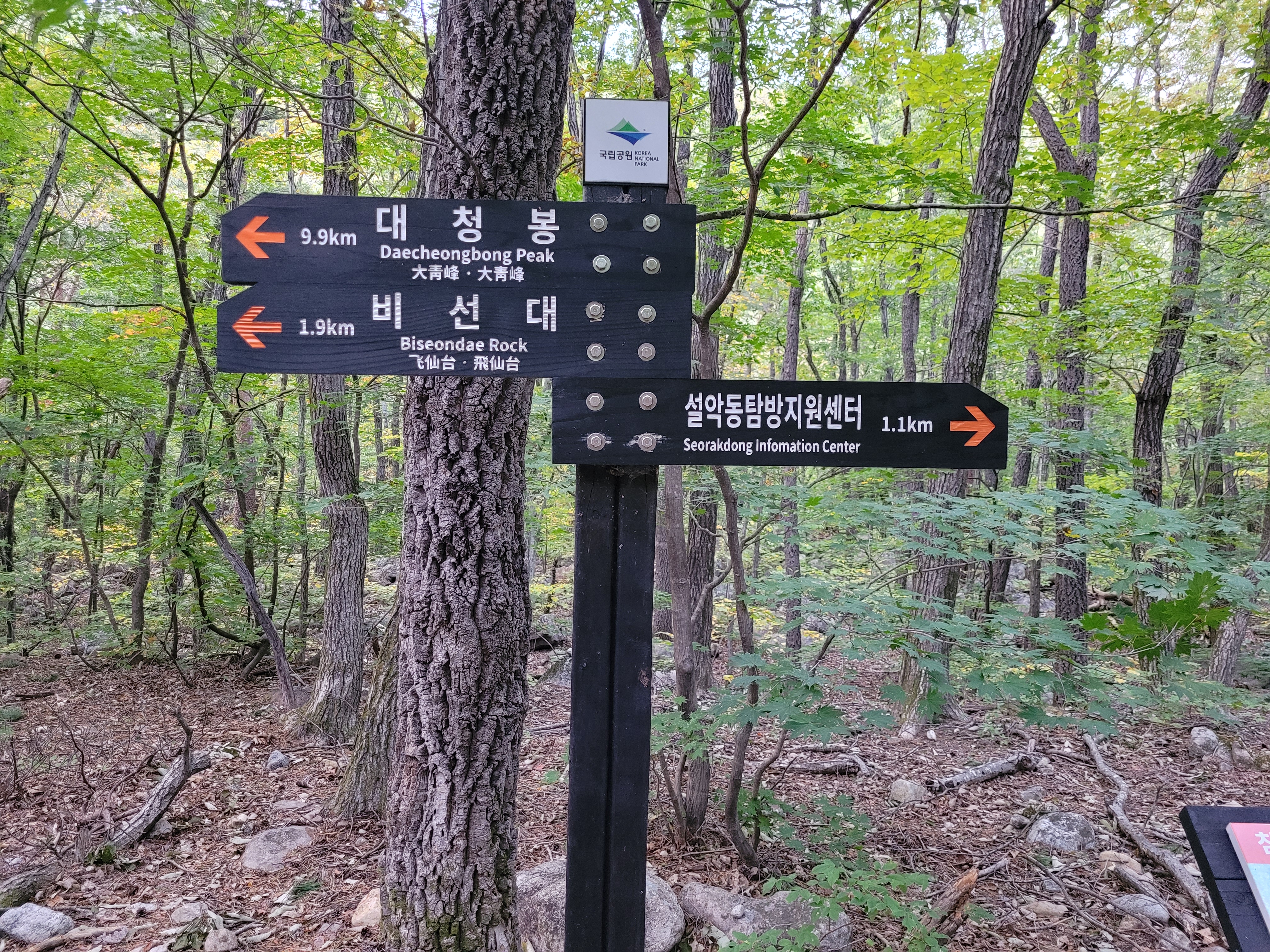
Sometimes you will come across signs detailing the climb steepness, but you will at least find the trail lengths and experience level of them. So far I have hiked everything from easy to advanced – I haven’t tried any black-coloured expert trails, but I assume these must include technical rock climbing aspects and I just don’t need to be doing with that.
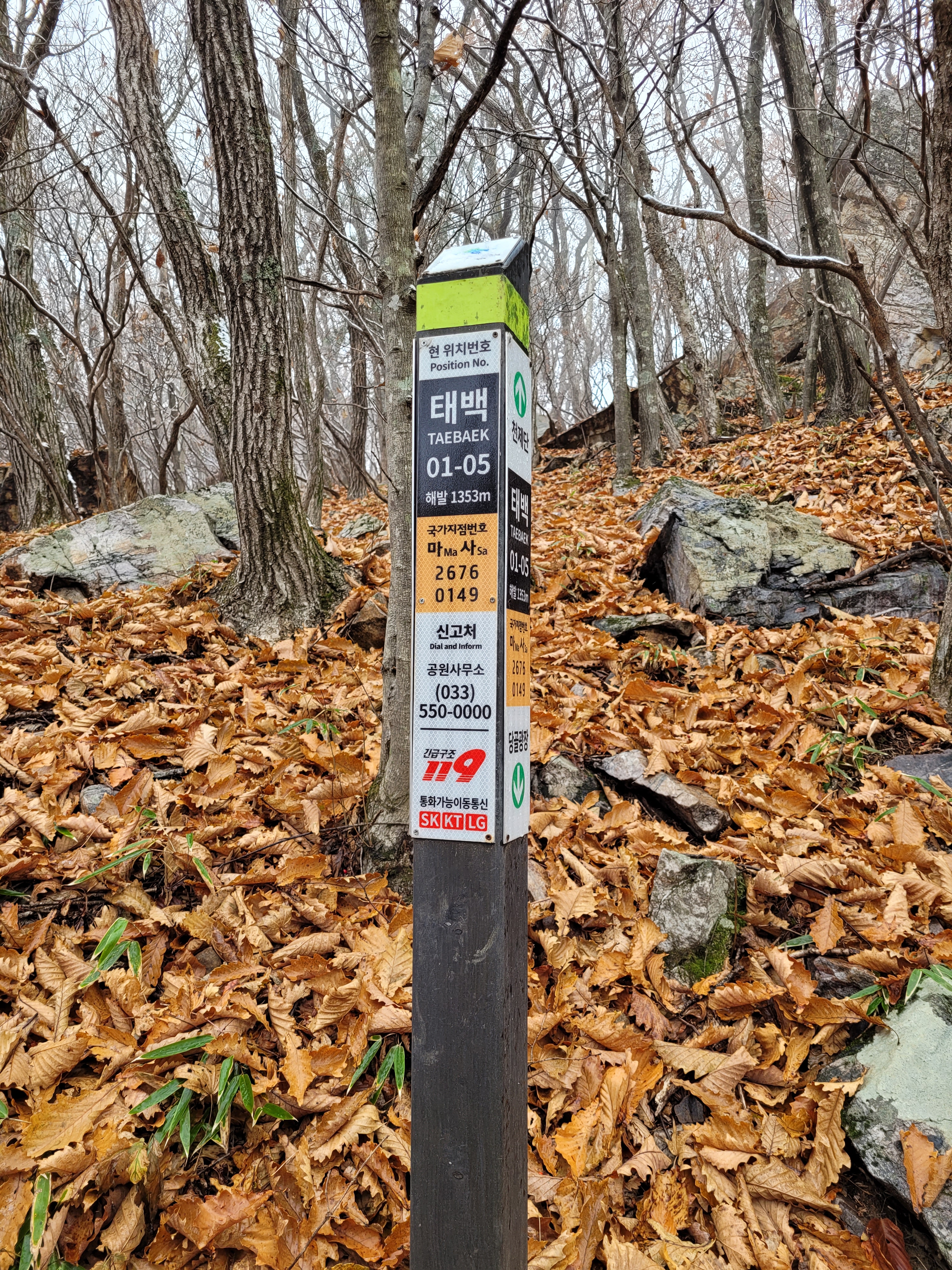
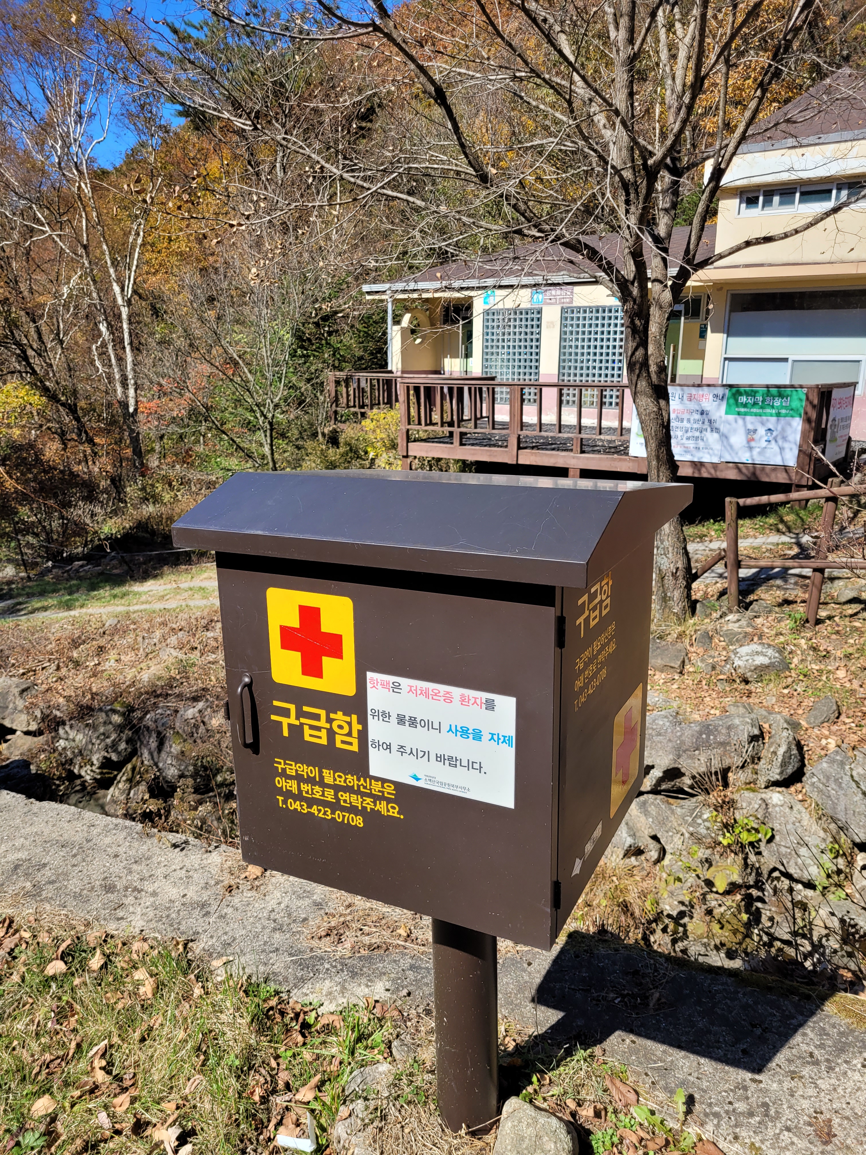
The signposts on the actual trails I find to be good, posted in Korean and English, and have distances provided. There are also emergency posts along the way and I tend to take photos of these too as I go, they give a location and number to call, so if you need help the emergency services roughly know where you are. Finally, I have also seen a number of first aid boxes along the way. They are padlocked but seem to have a phone number where I guess you call and they give you the code to access the supplies (I did see one lad standing by one using his phone, so I guess that’s how it works).
I have hiked just using my normal hiking equipment – I have trail running shoes, not boots, and my daypack always has warm clothing (jumper, down jacket) and waterproofs (coat and trousers). I carry 1 litre of water (I don’t drink a lot when hiking) and a bunch of snacks (nuts, crisps, candy, chocolate bars etc.). Occasionally I carry my hiking poles, but because there are so many stairs or rock climbing aspects on these walks, generally they become more of a hindrance to me than a help. So far I have found that I have not been over or under equipped, just about right for this time of year (mild autumn temps with a bit of rain showers).
OK, well, I think that’s the general bits done. Now onto my first two parks – Seoraksan and Odaesan.
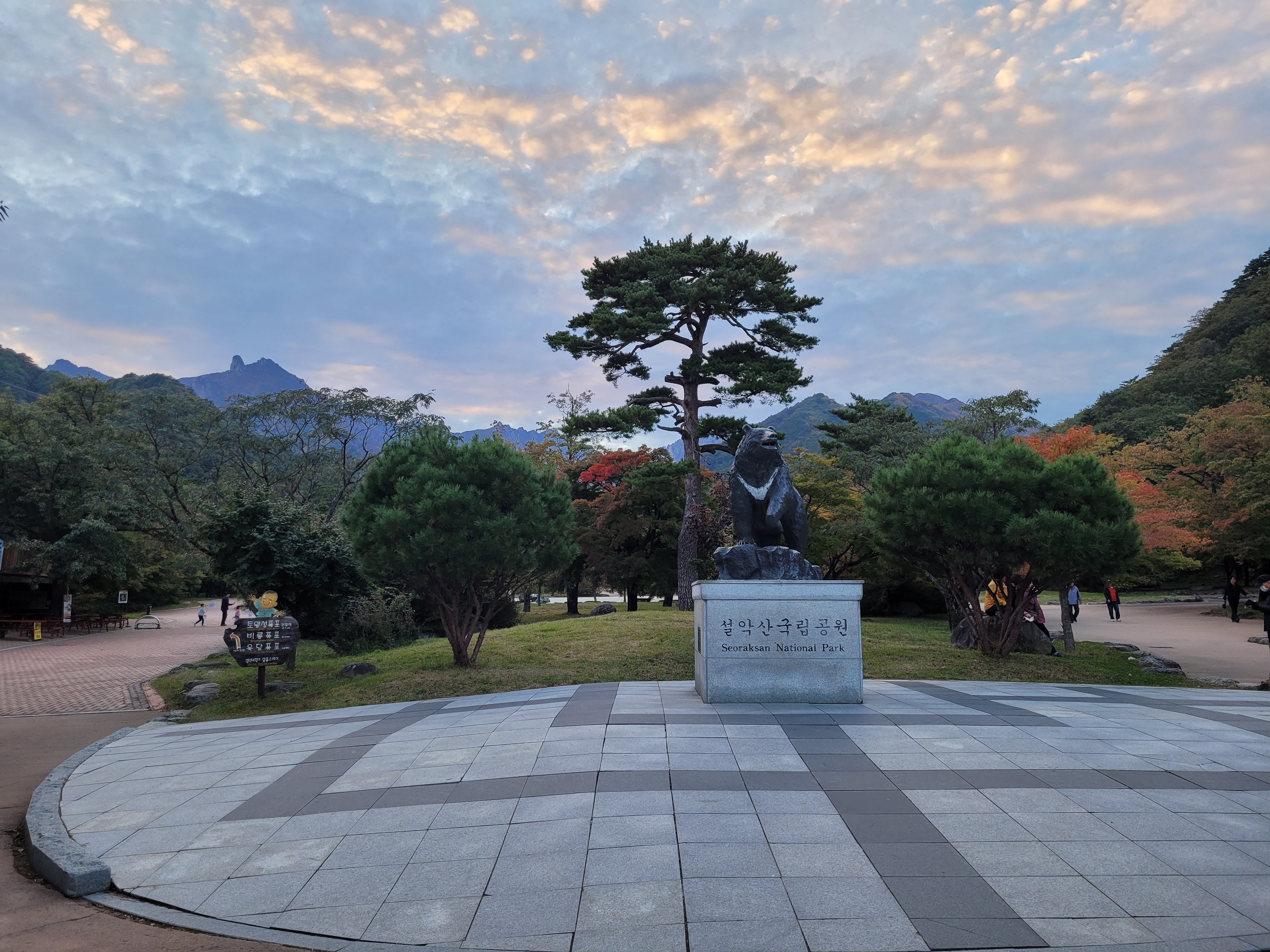
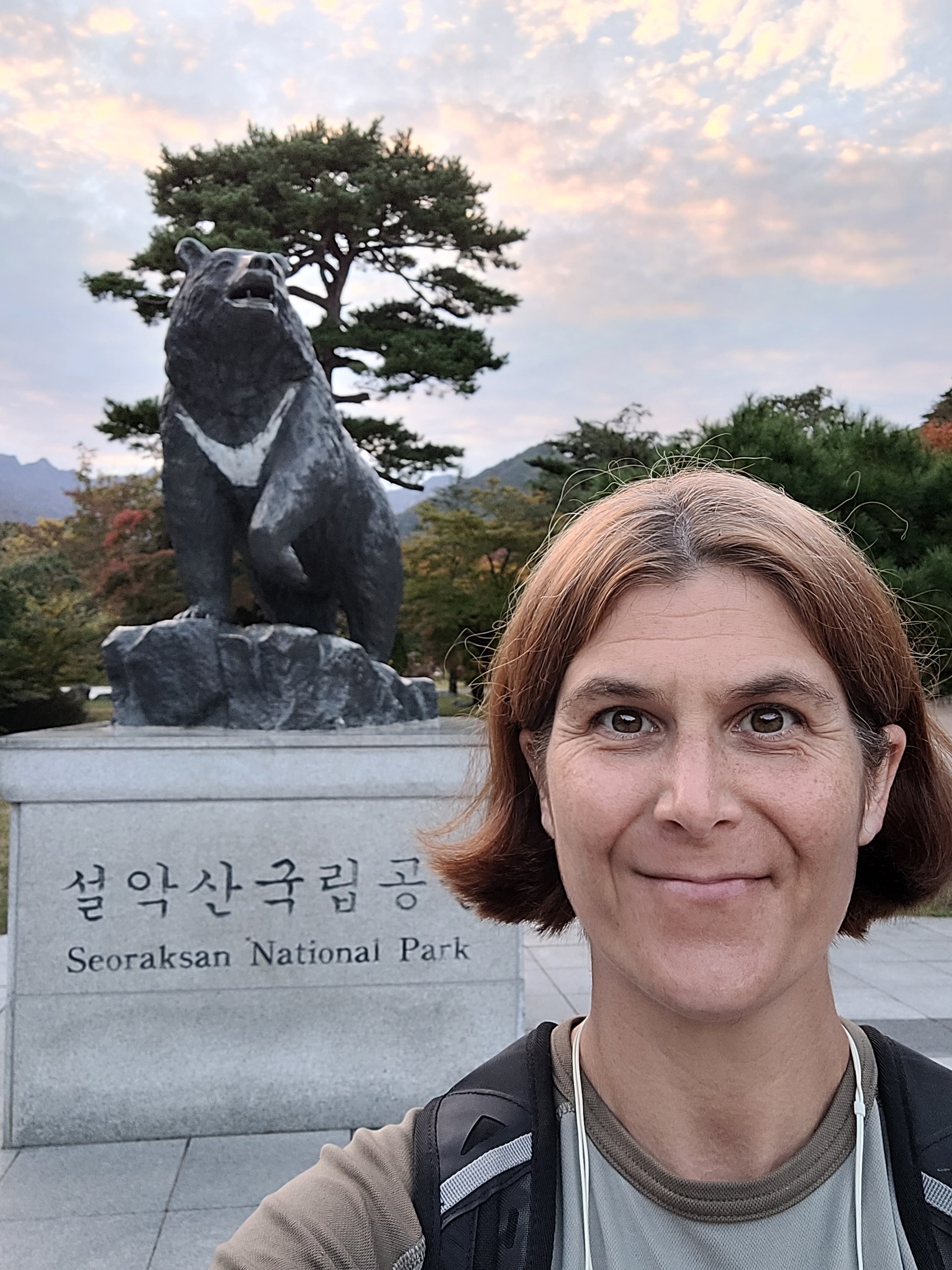
I will wager money that if you ask any Korean where the best place in the country to go hiking is, their first answer will be Seoraksan National Park. And with good reason. Having now visited it (and a few others), I would recommend it as probably the best place to start for a few reasons.
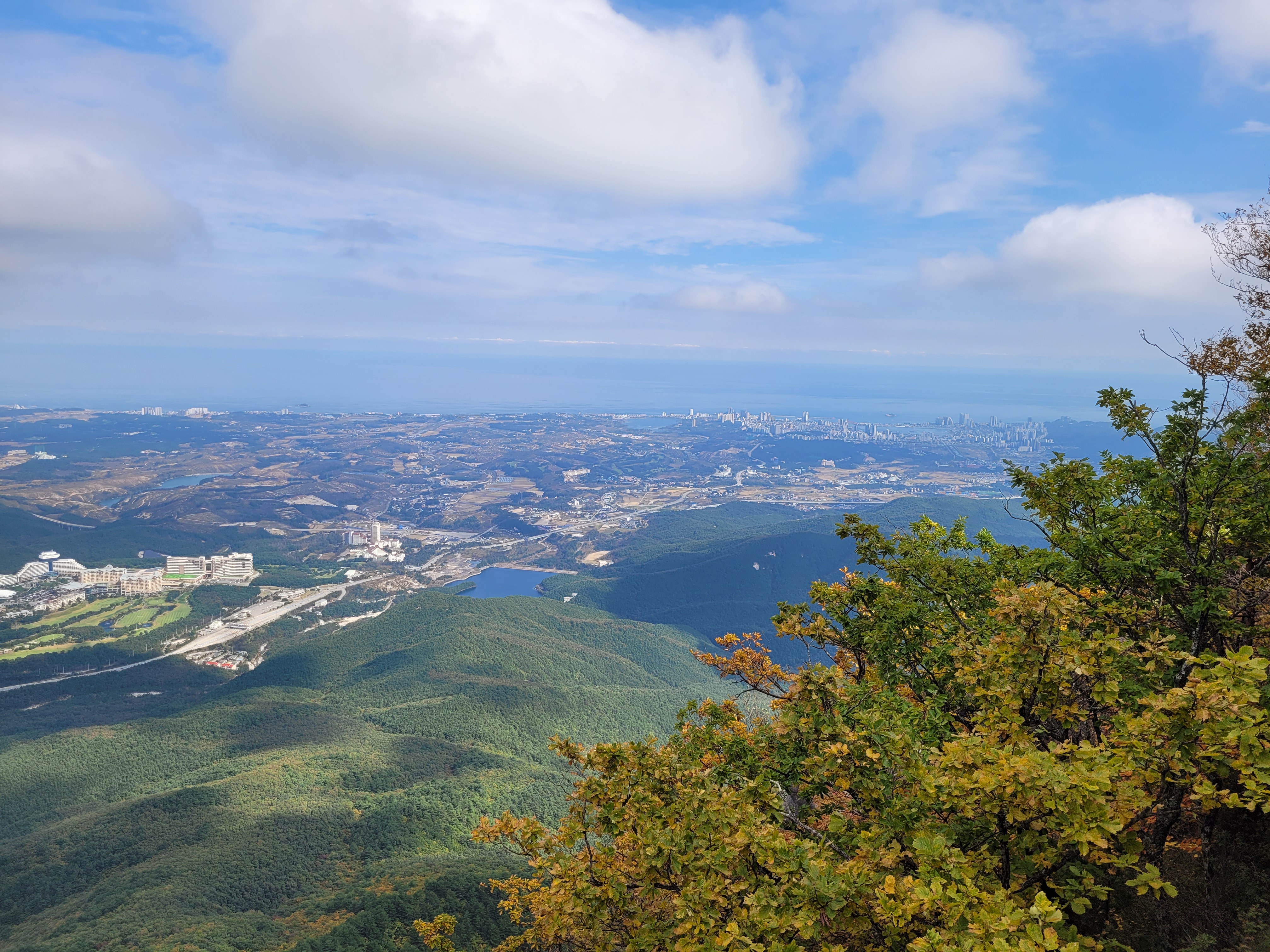
To start with, it’s undeniably beautiful. Right from the moment you approach it and go through the main gate.
This park pretty much has something for EVERYONE to try.
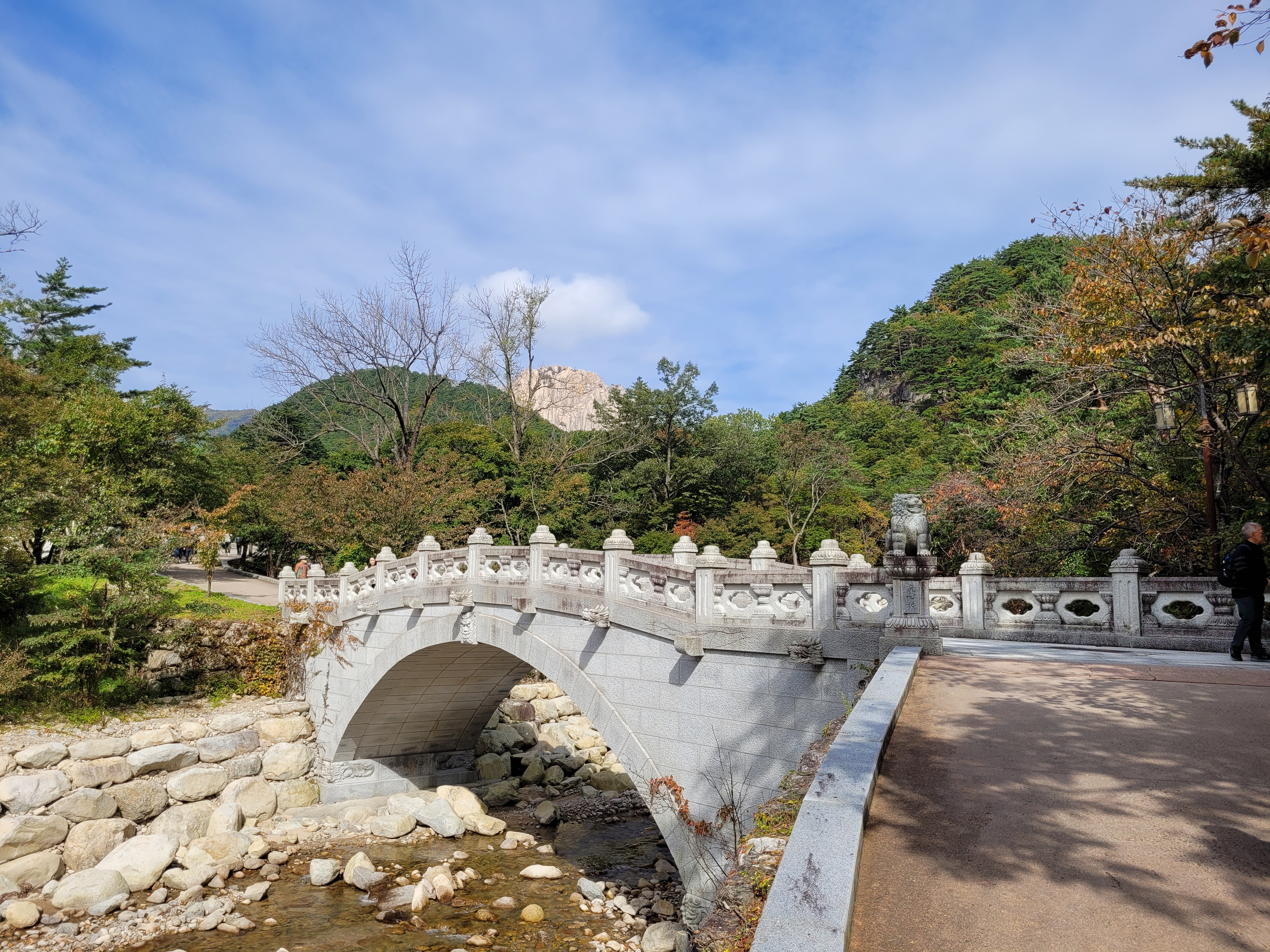
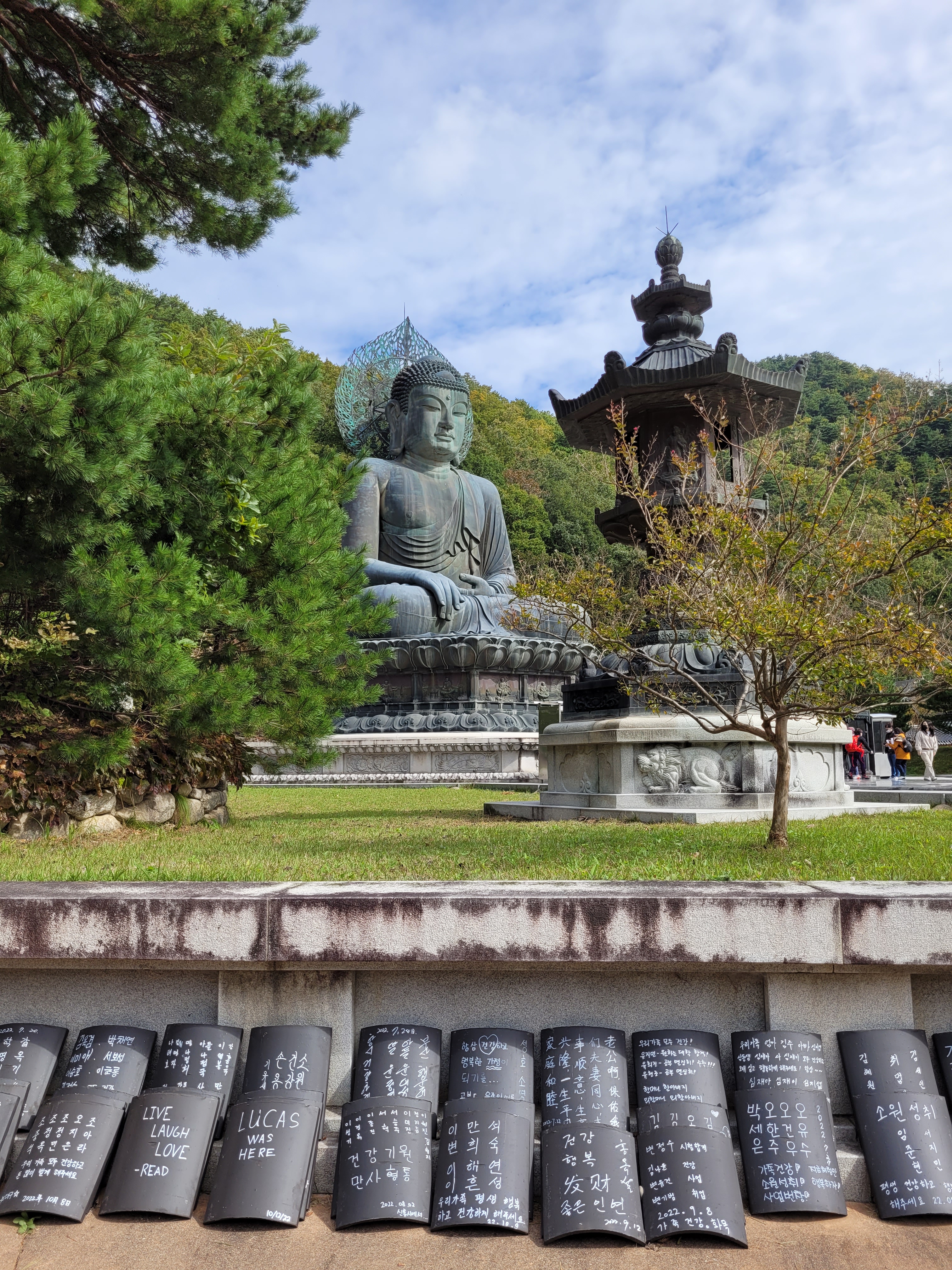
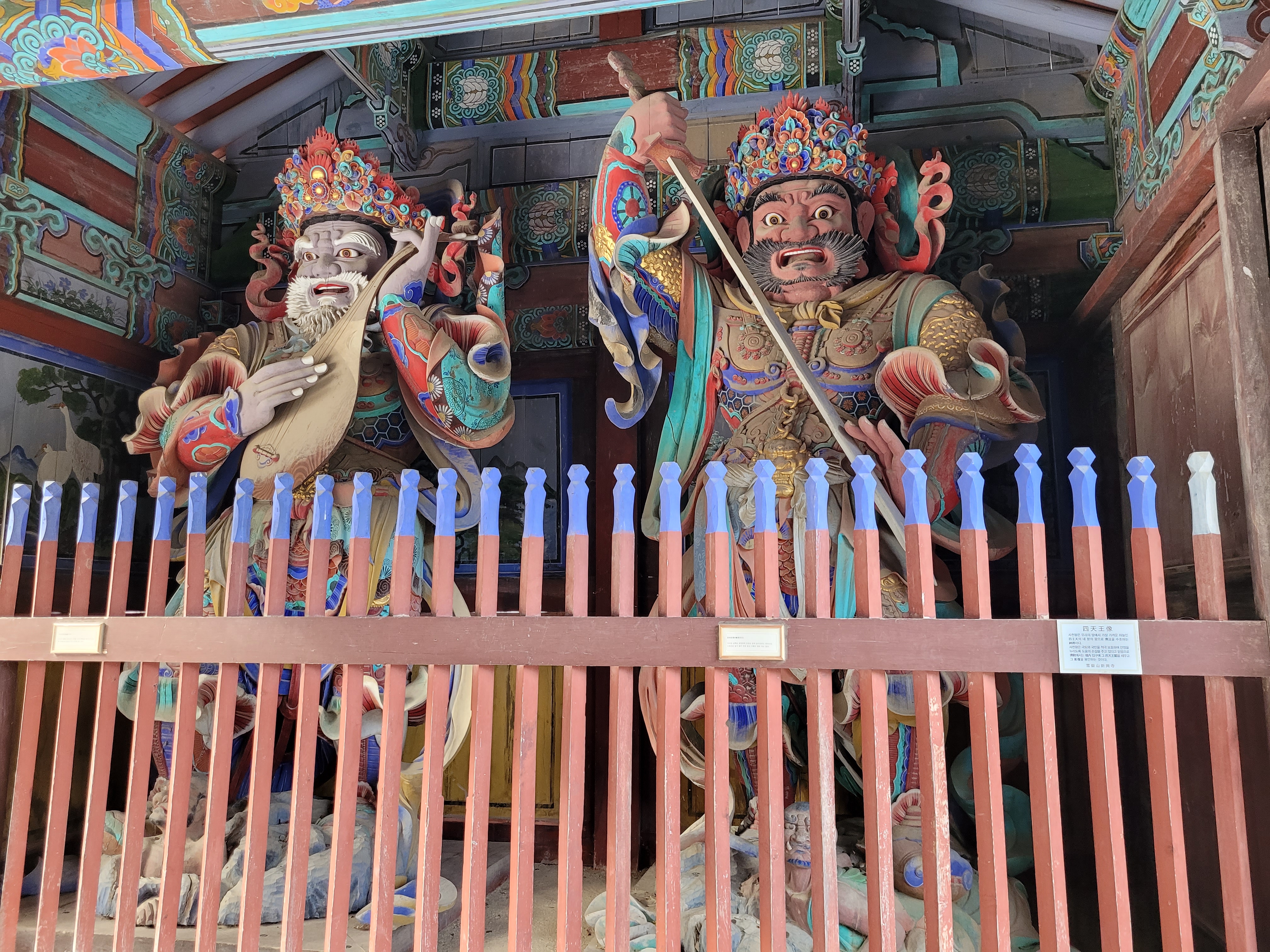
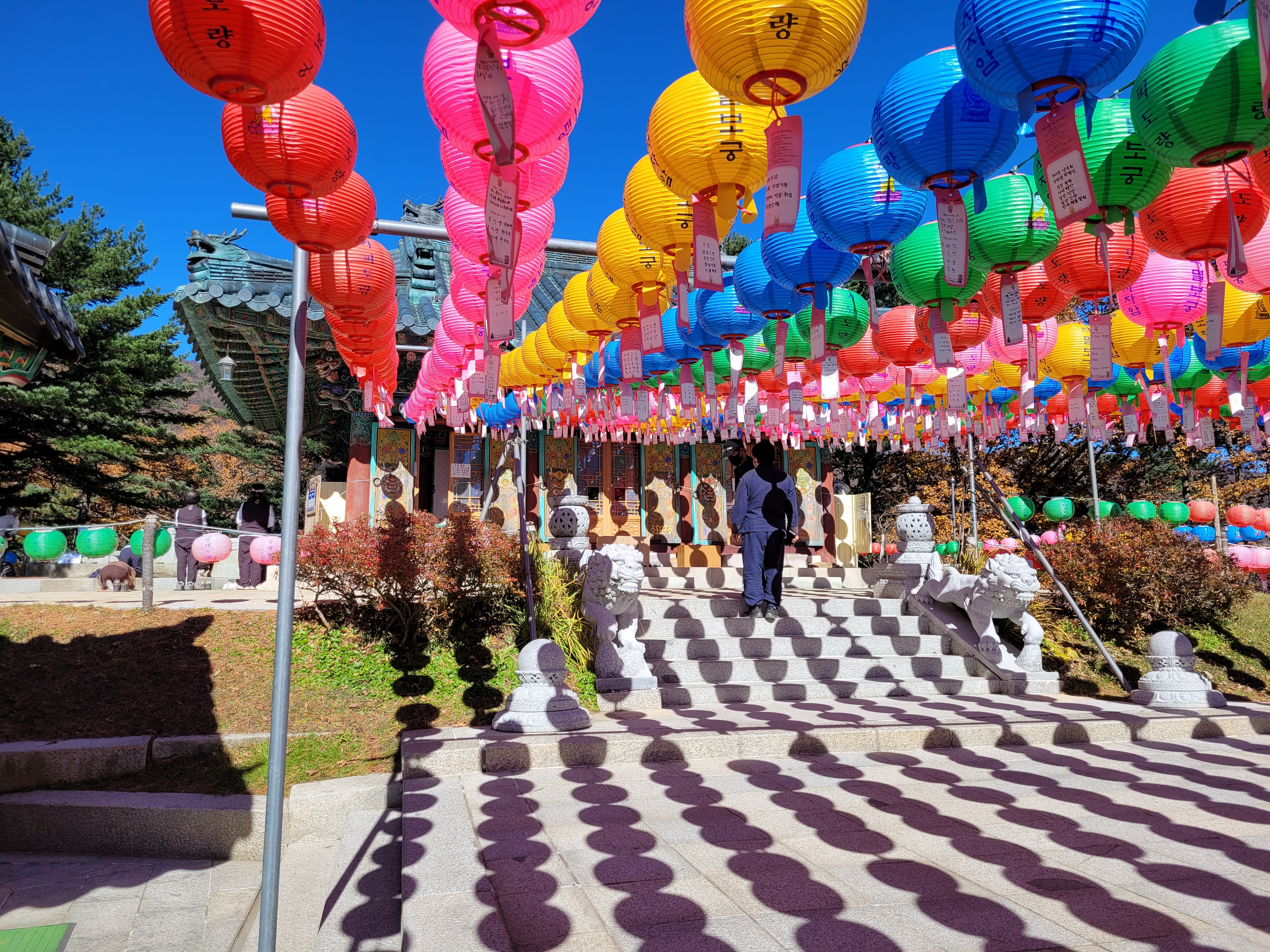
As you enter there is a large flat complex area that contains restaurant, a temple, stone bridges and a massive bronze Buddha. Even if your mobility is limited, you can simply explore this area, still have phenomenal mountain views and call it a day. From this central area there are multiple trails you can take, ranging from flat paved paths right up to rock scrambles. There’s even a cable car you can take to the nearest peak if you can’t or don’t want to hike.
As this was my first time being presented with multiple hiking options and not really sure how to go about planning or choosing routes at this point (remember Bukhansan and Hallasan were single peak, pre-planned hikes), I admit that I simply googled the best trails at Seoraksan and went with the most popular. And honestly, that worked out perfectly.
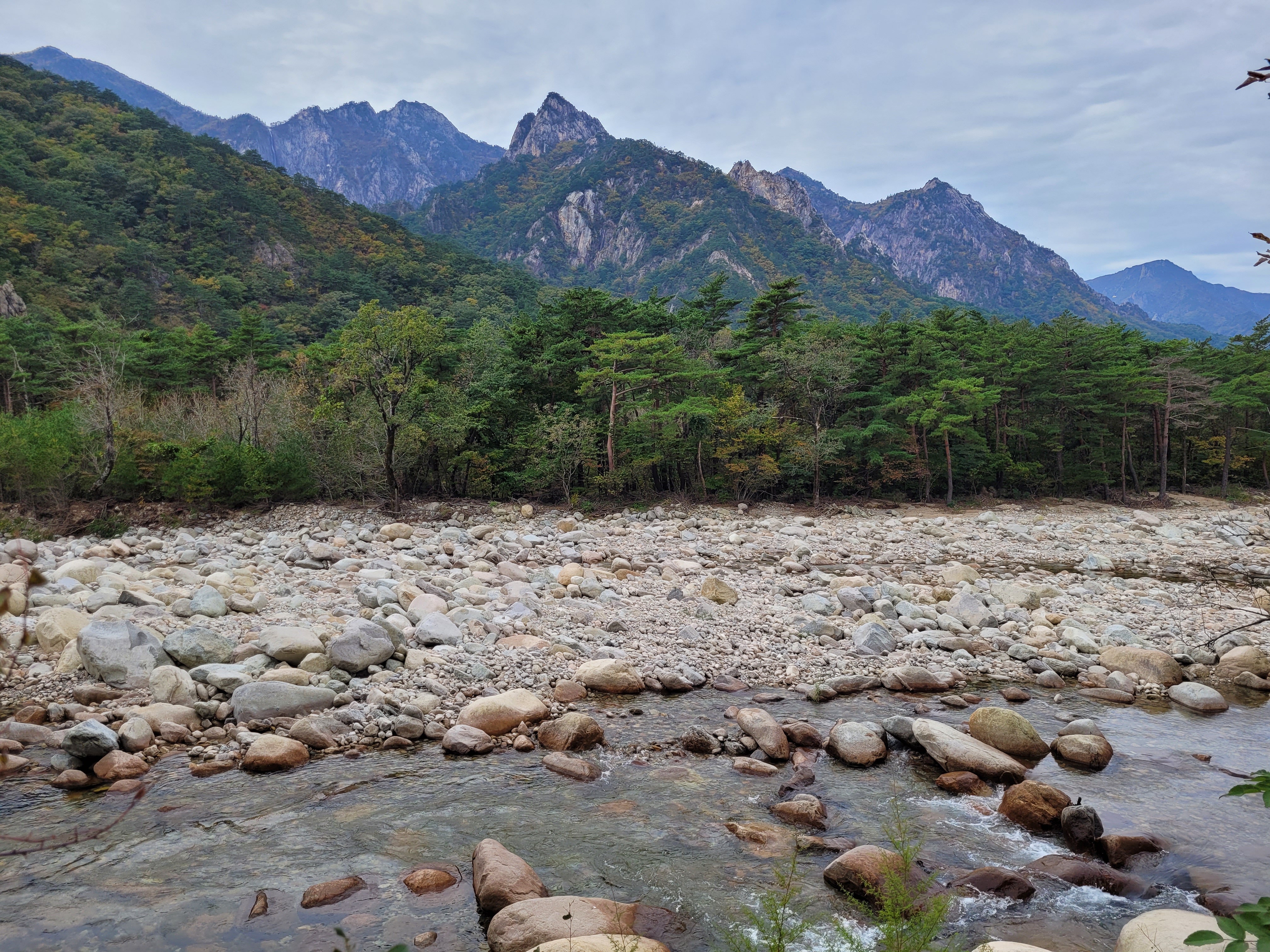
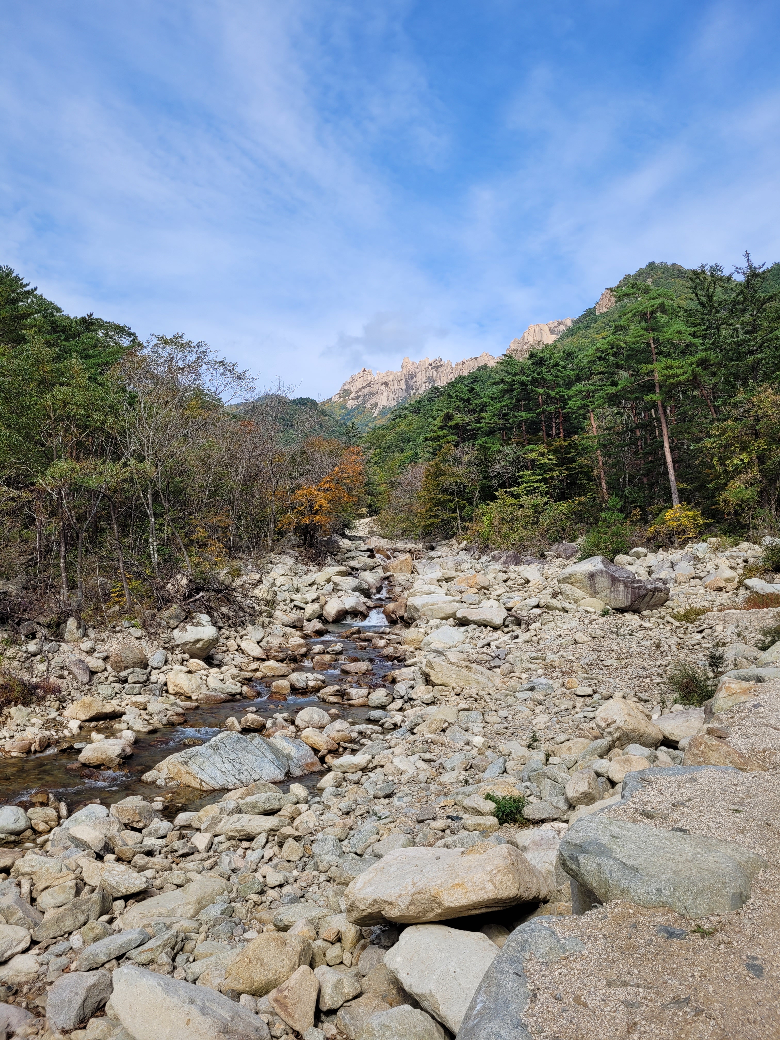
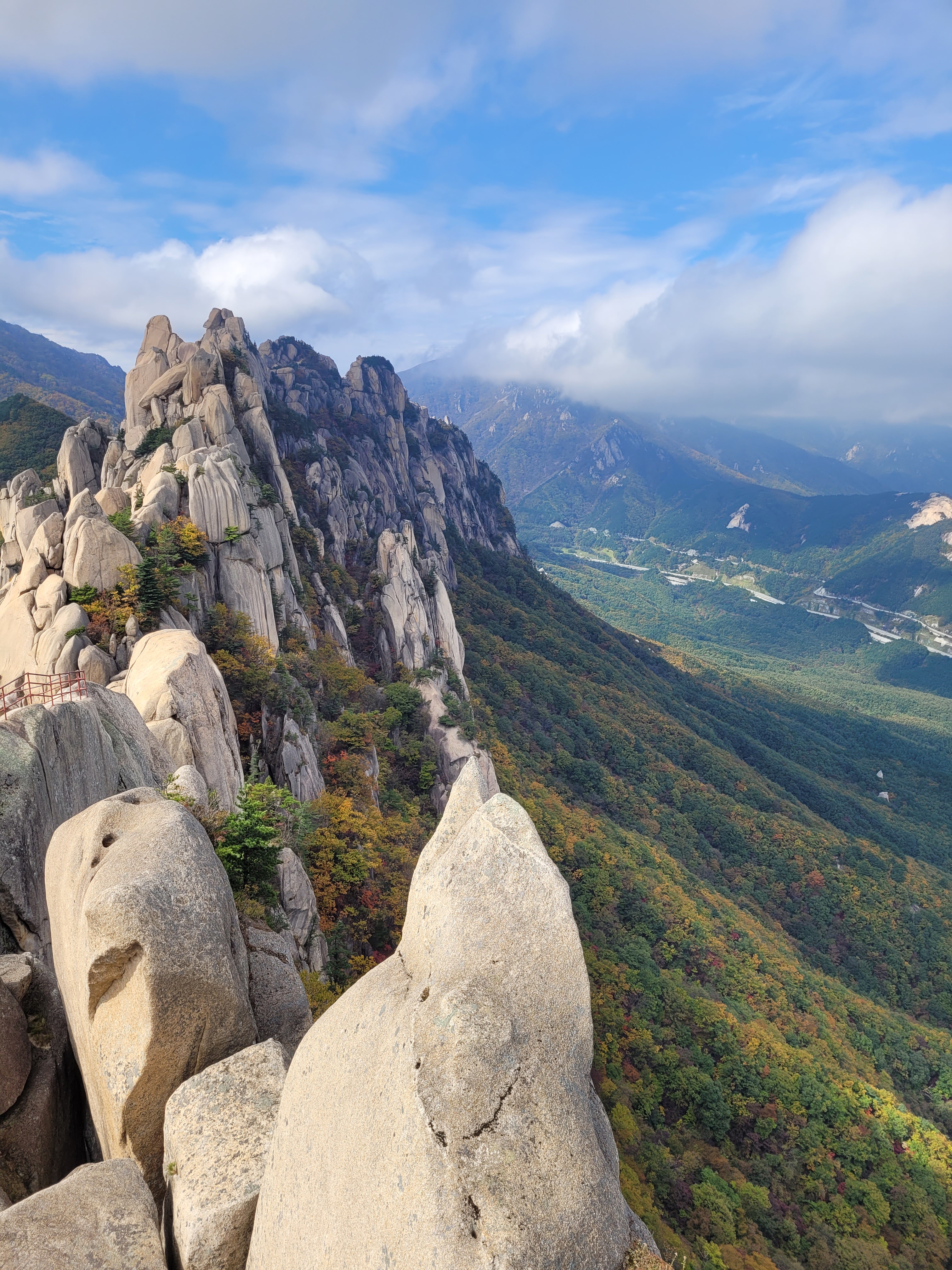
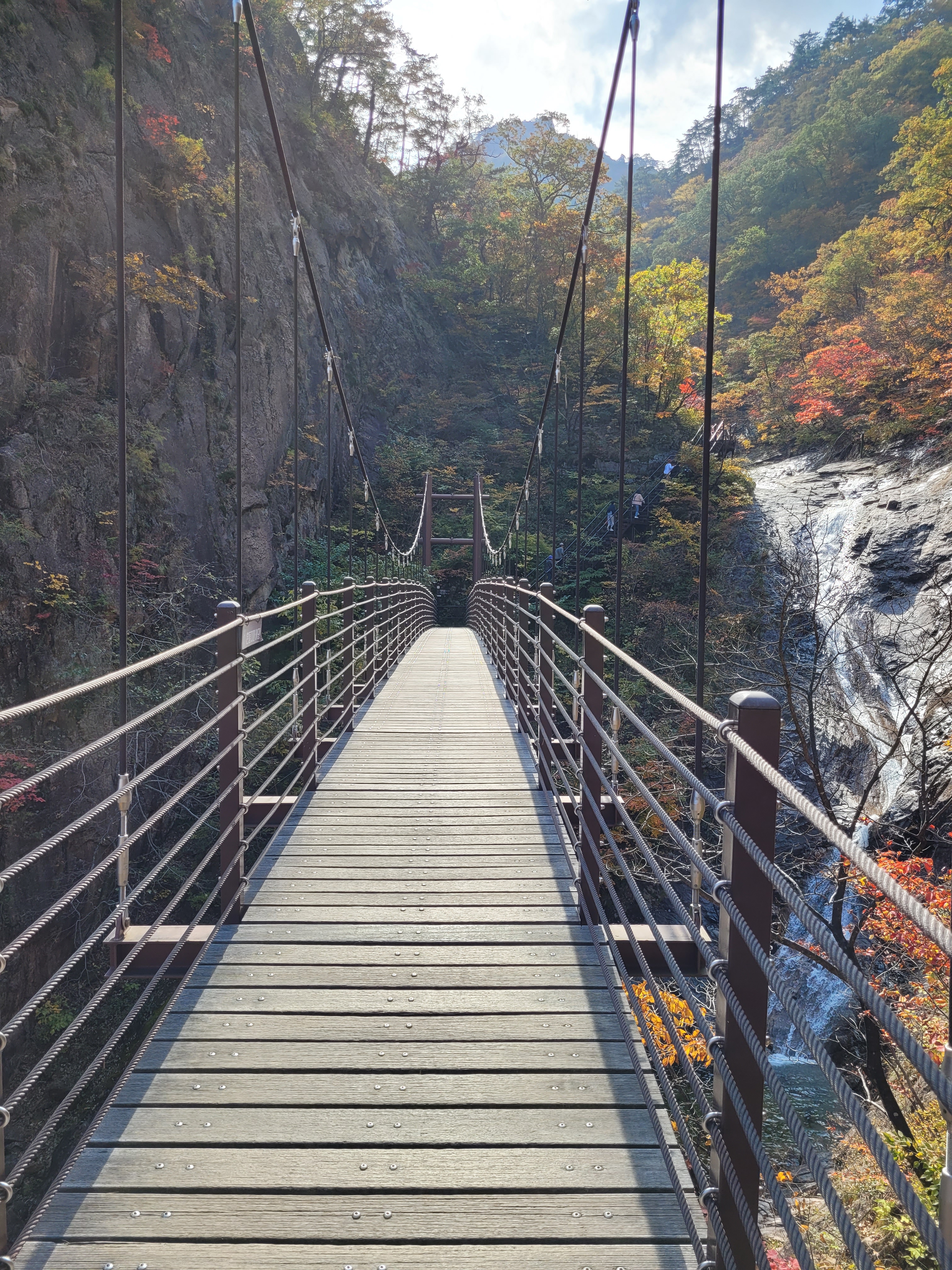
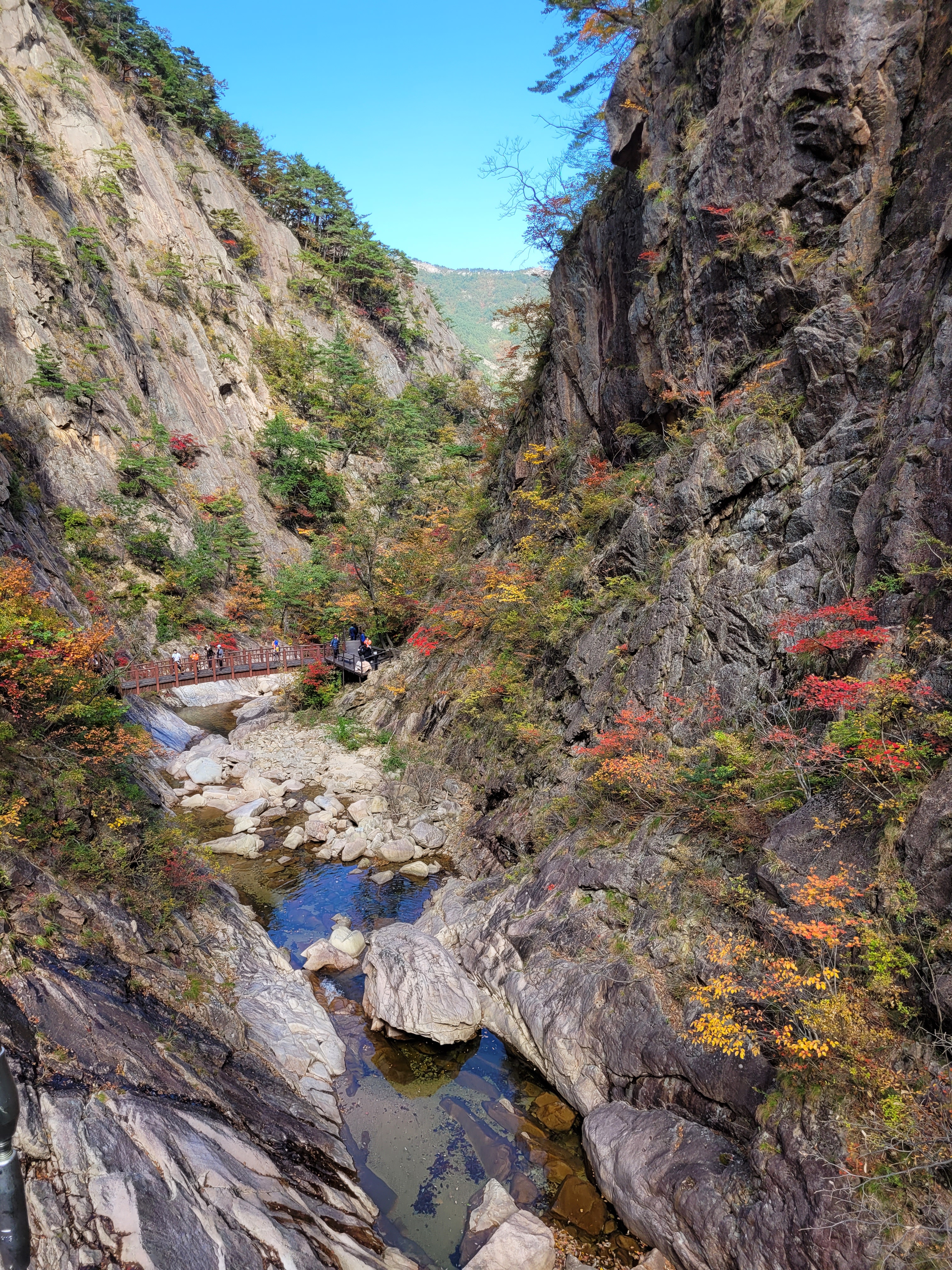
I had two days in the park, entered in from the north east corner nearest Sokcho, and hiked the following trails: Ulsanbawi Rock, Biseondae Rock, Biryong Falls and Gwongeumseong Fortress – via cable car and short rock scramble. Each trail was a different experience and a different level of exertion.
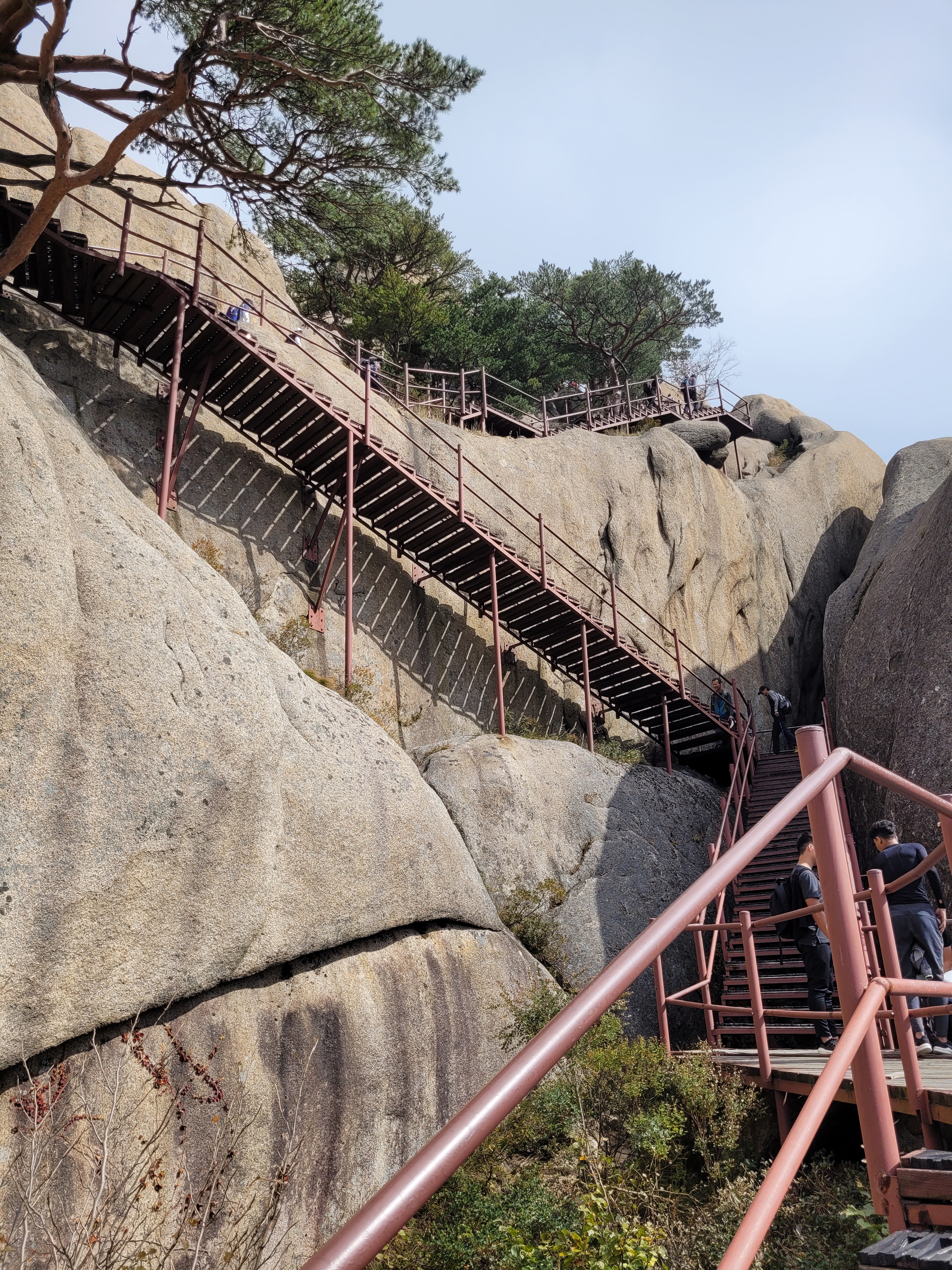
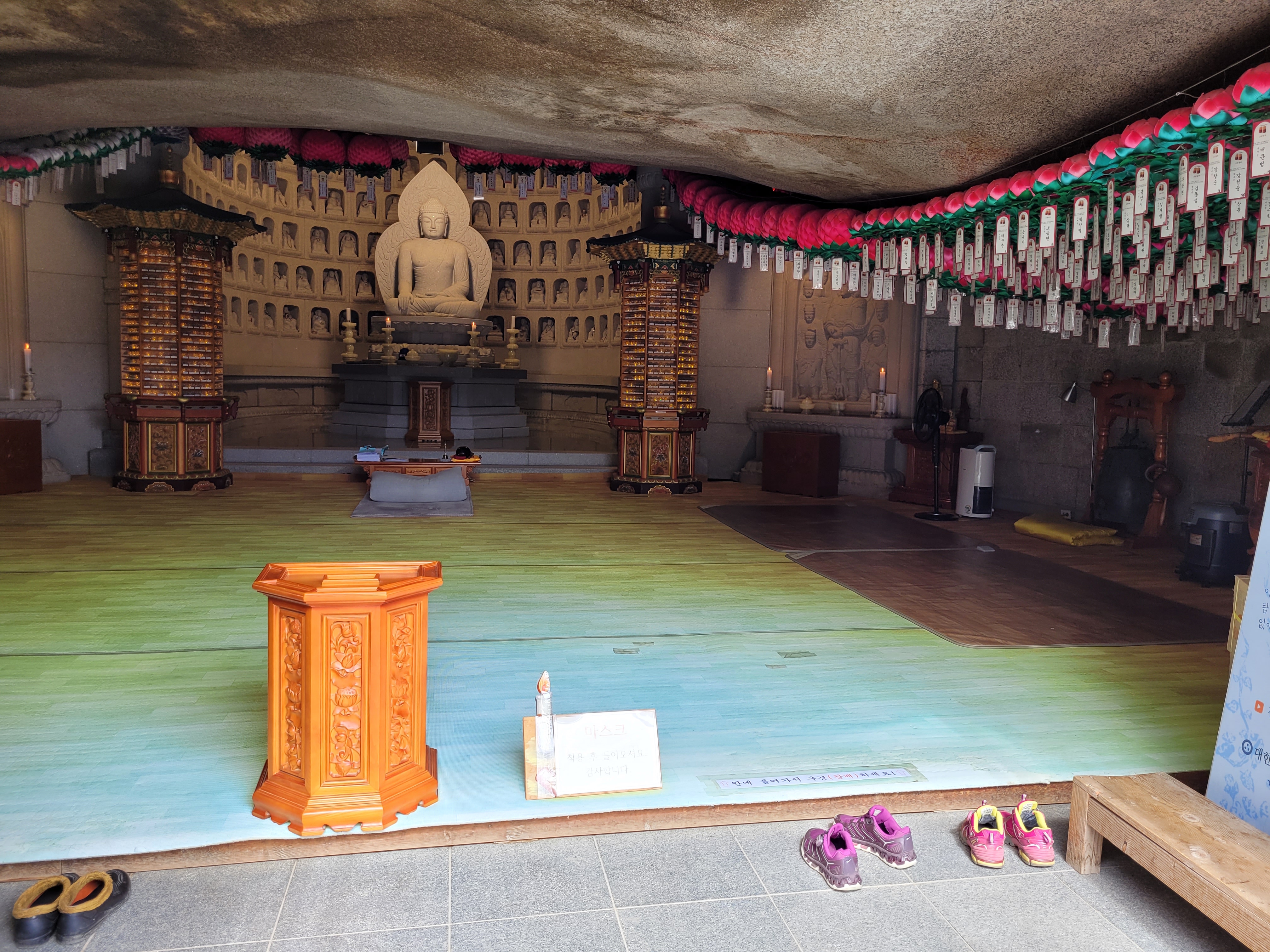
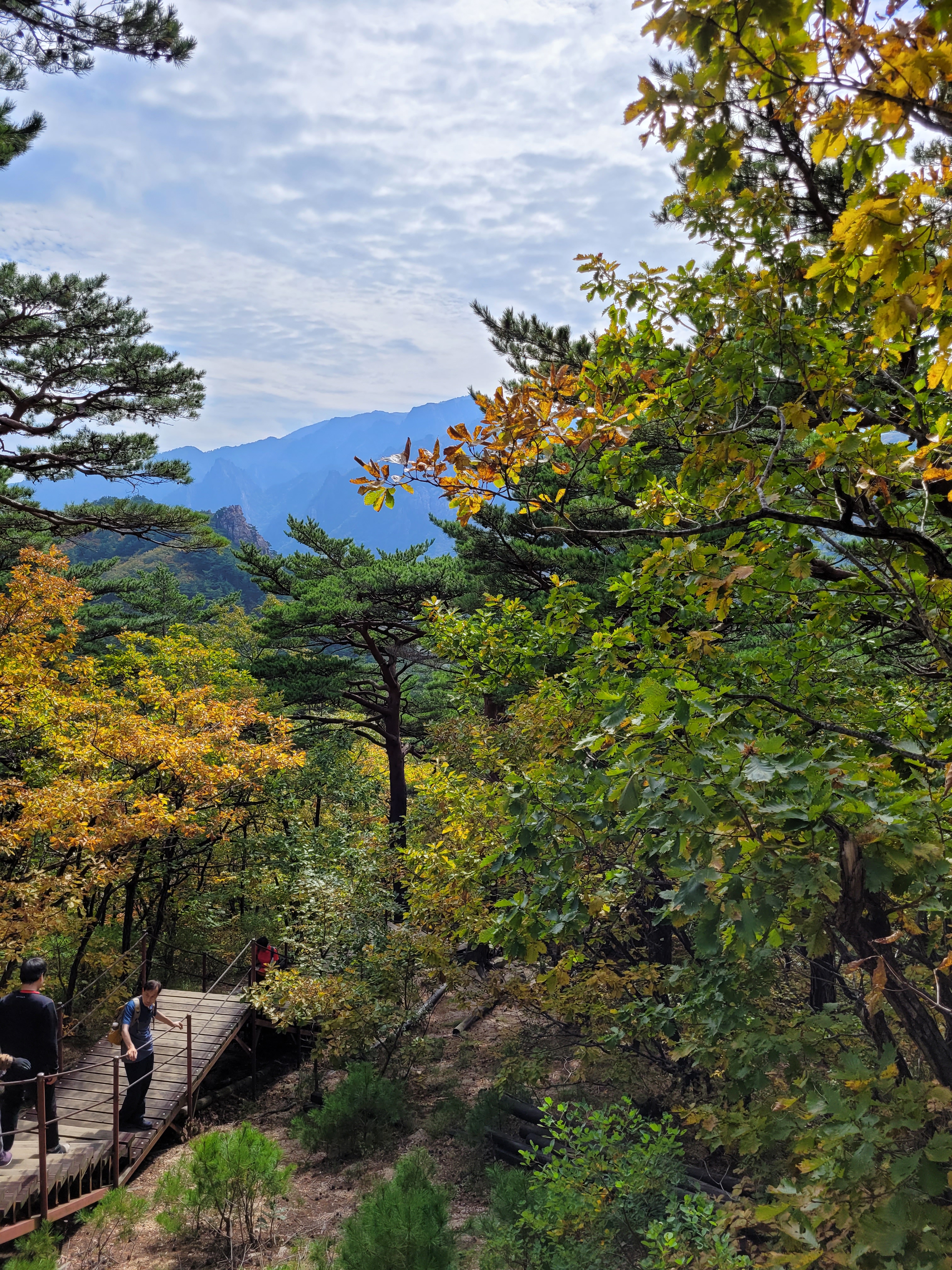
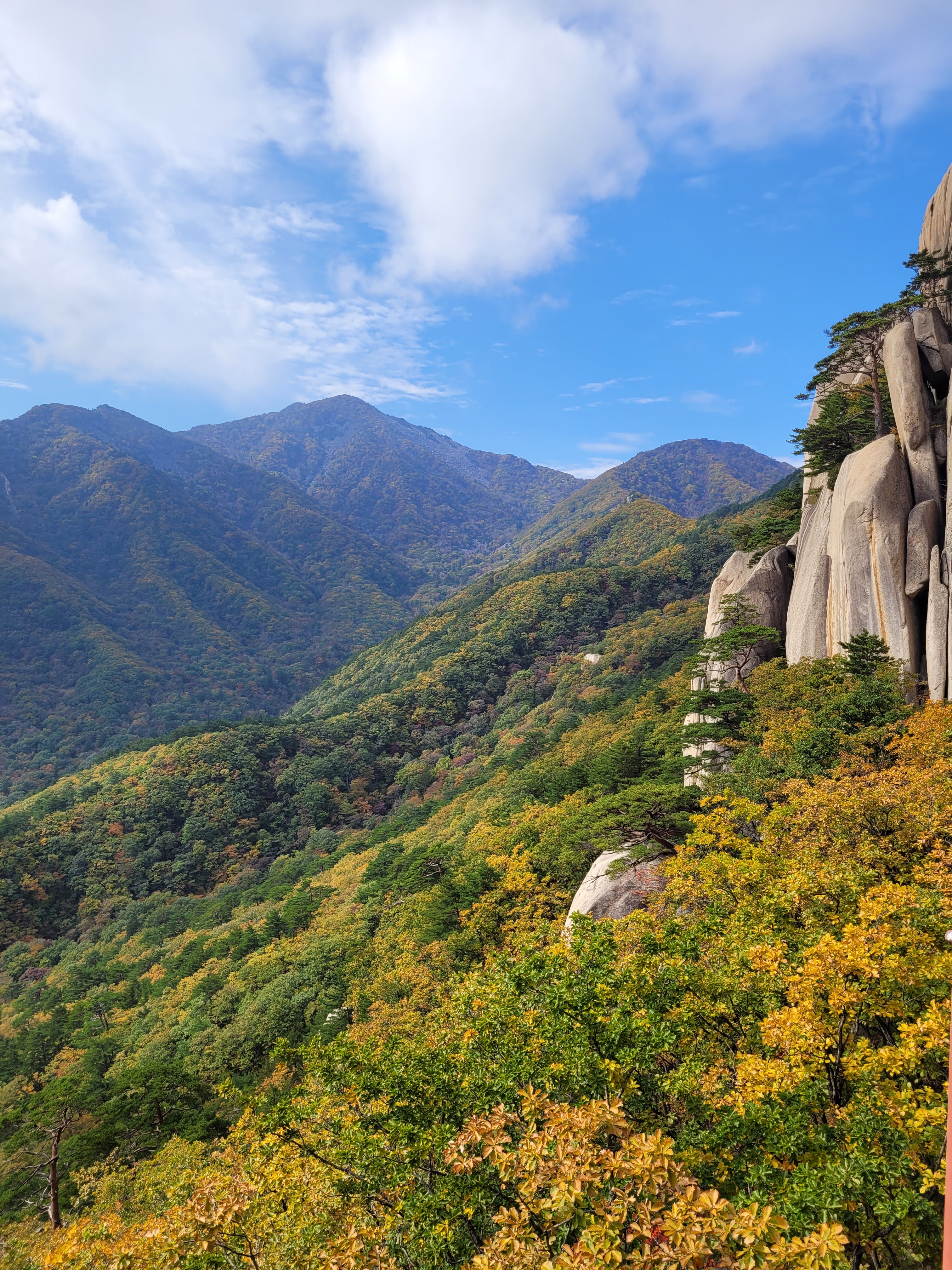
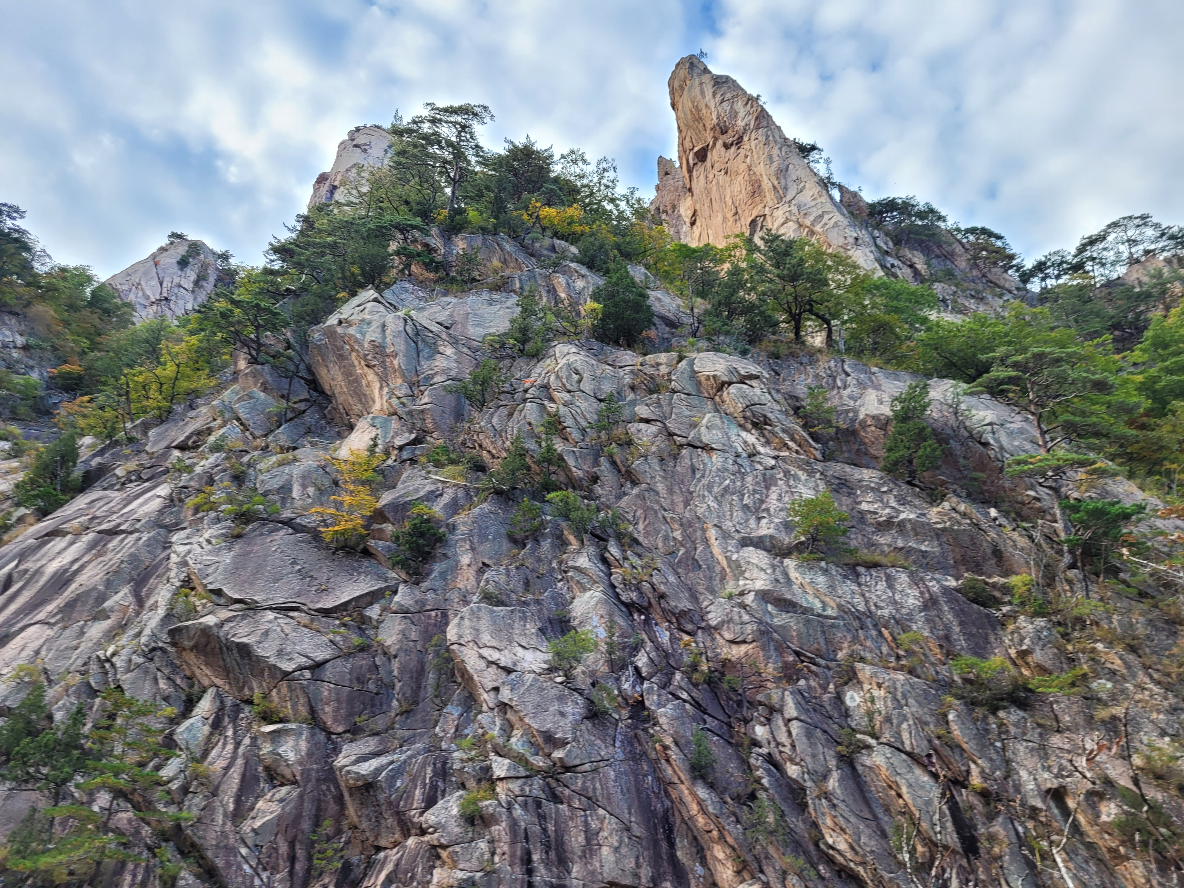
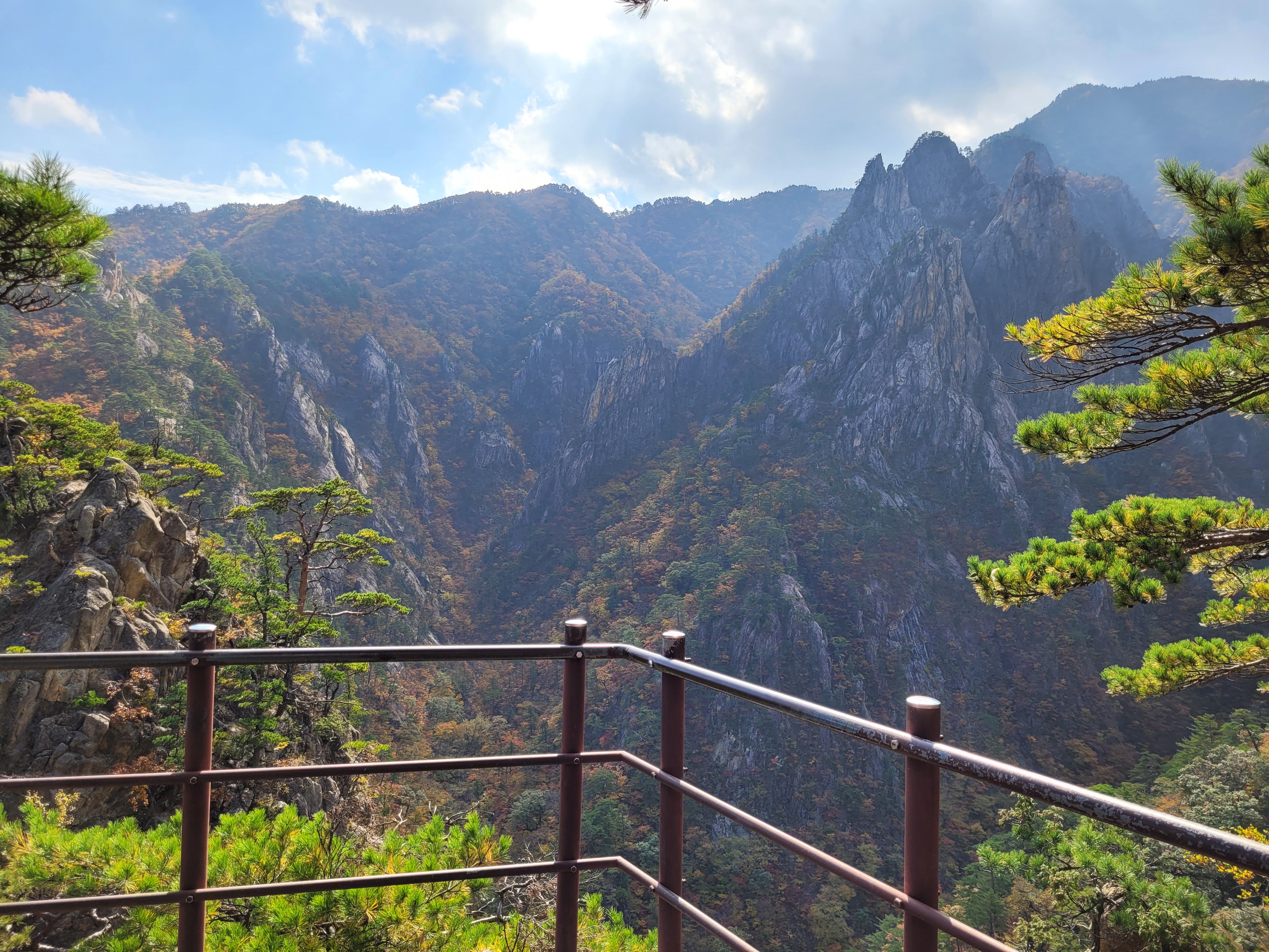
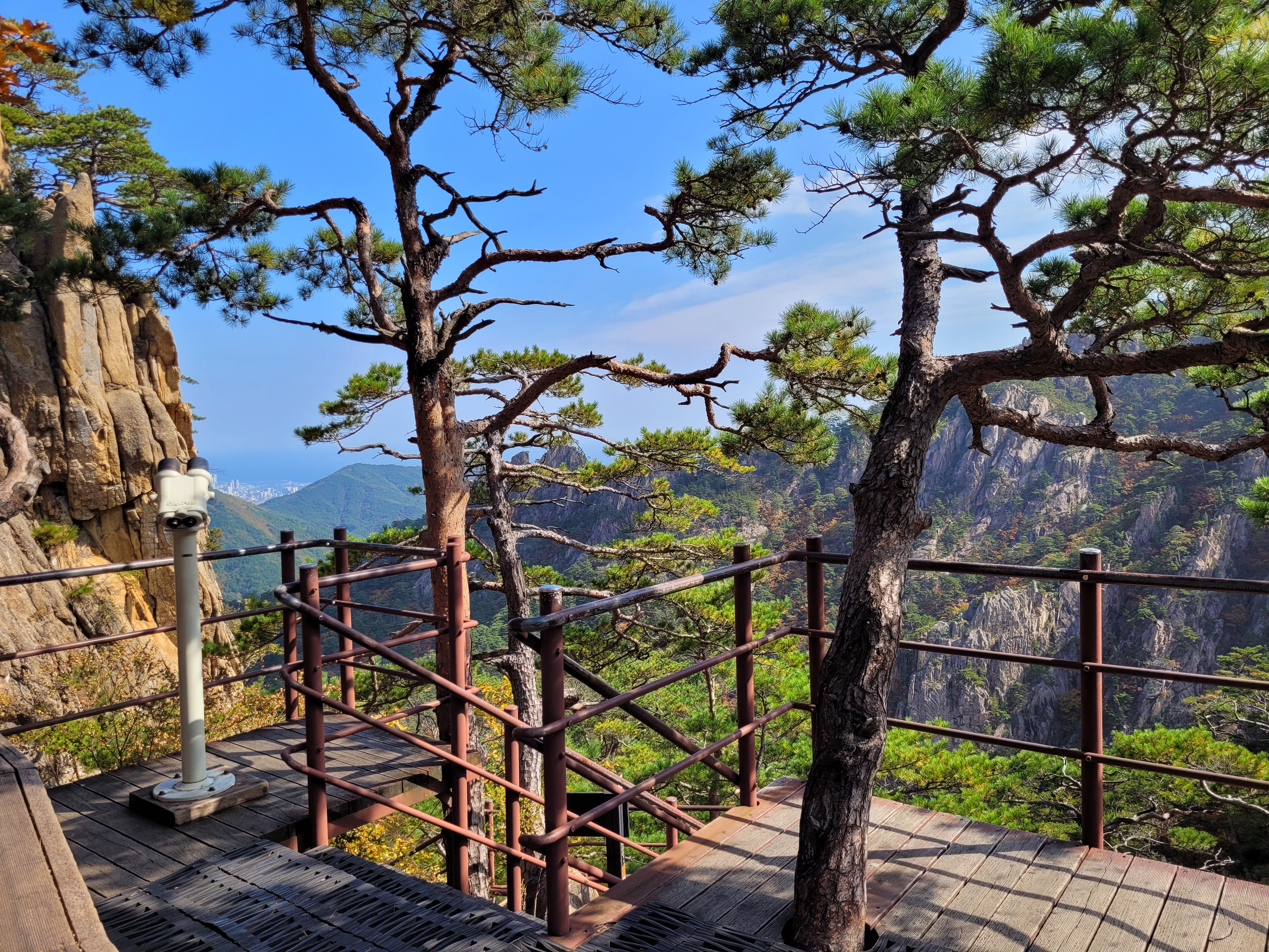
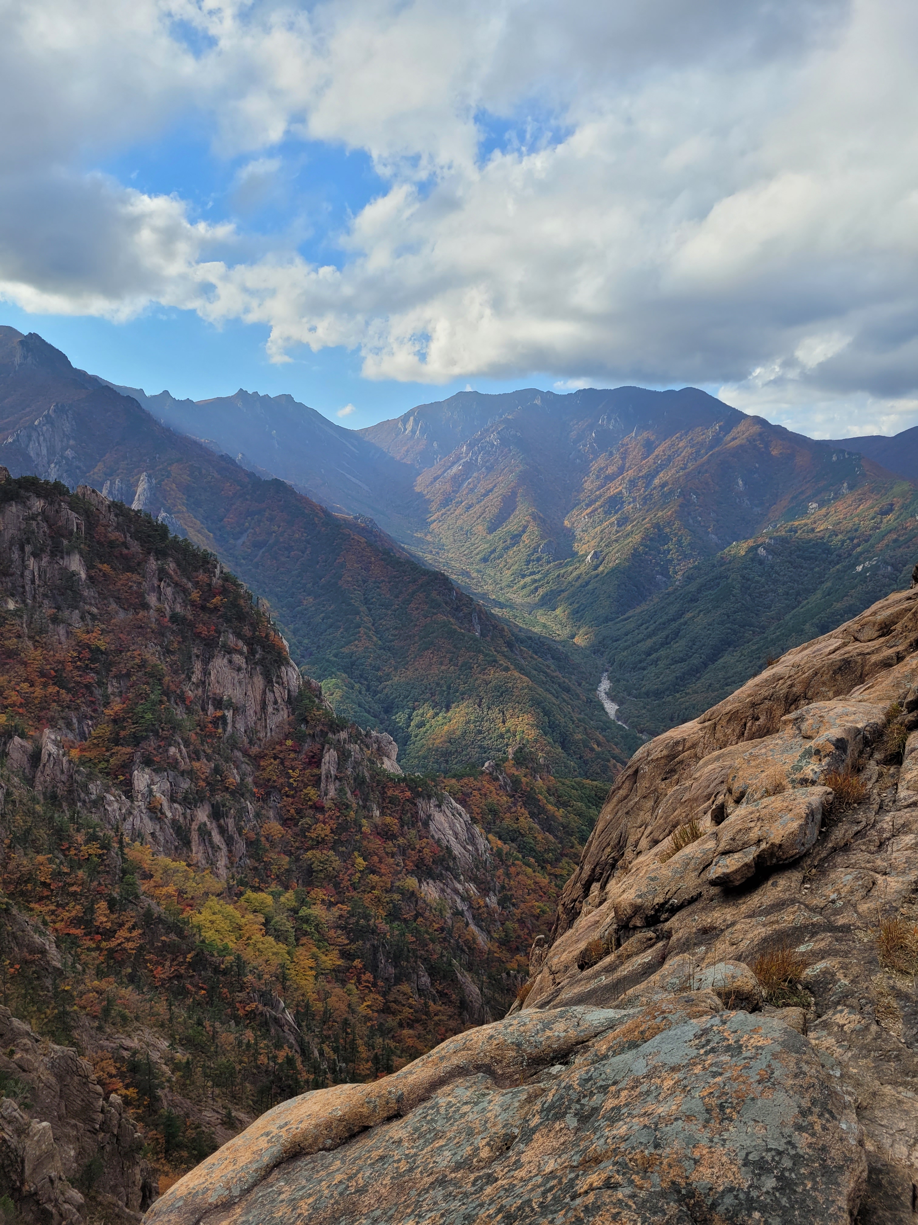
Ulsanbawi Rock was labelled as a hard course, it was draining simply for the amount of stairs, the most I think I’ve ever climbed; but I have to admit with the scenery around me, I didn’t mind it one bit and the view from the top was stunning and slightly unexpected.

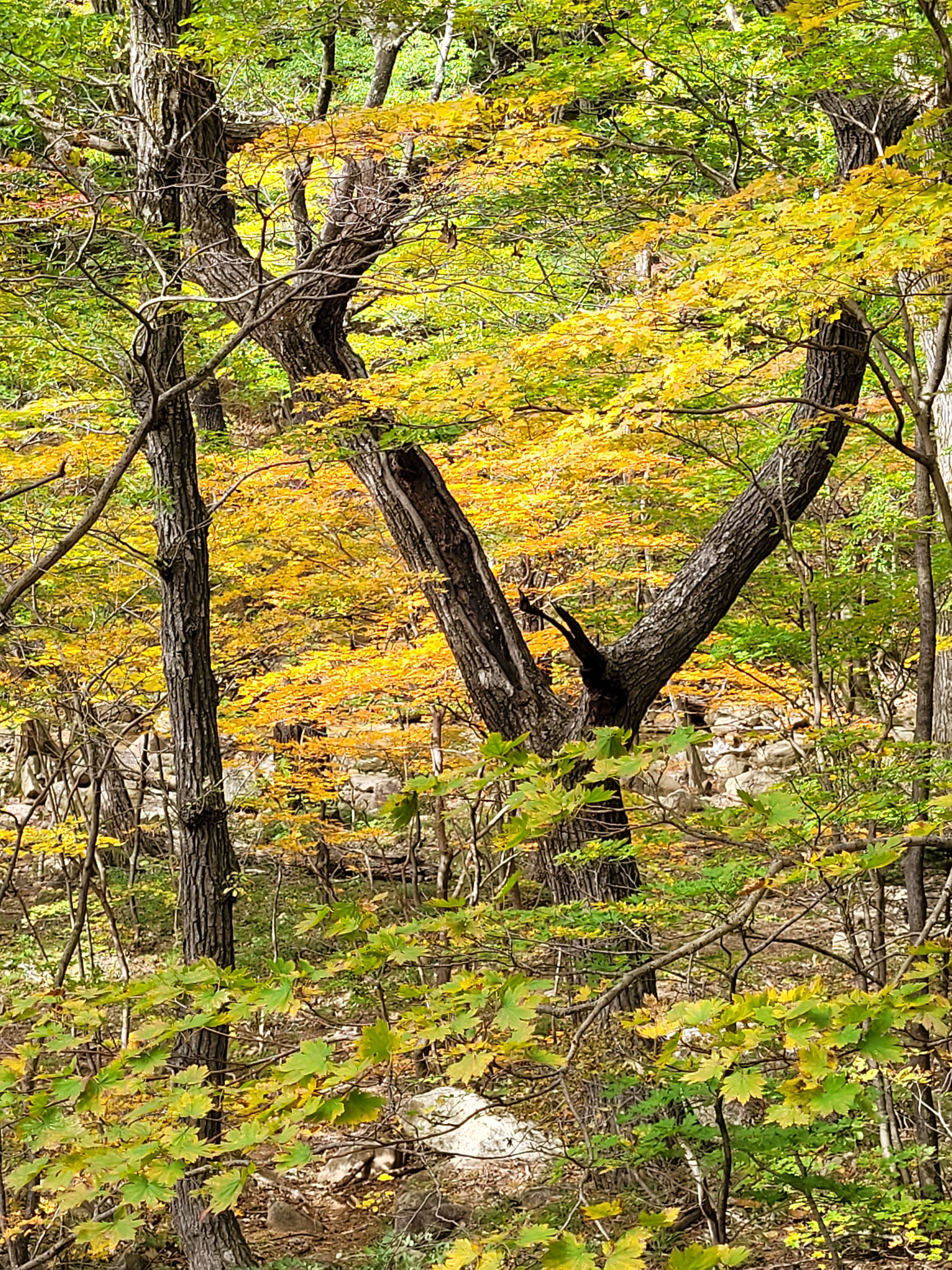
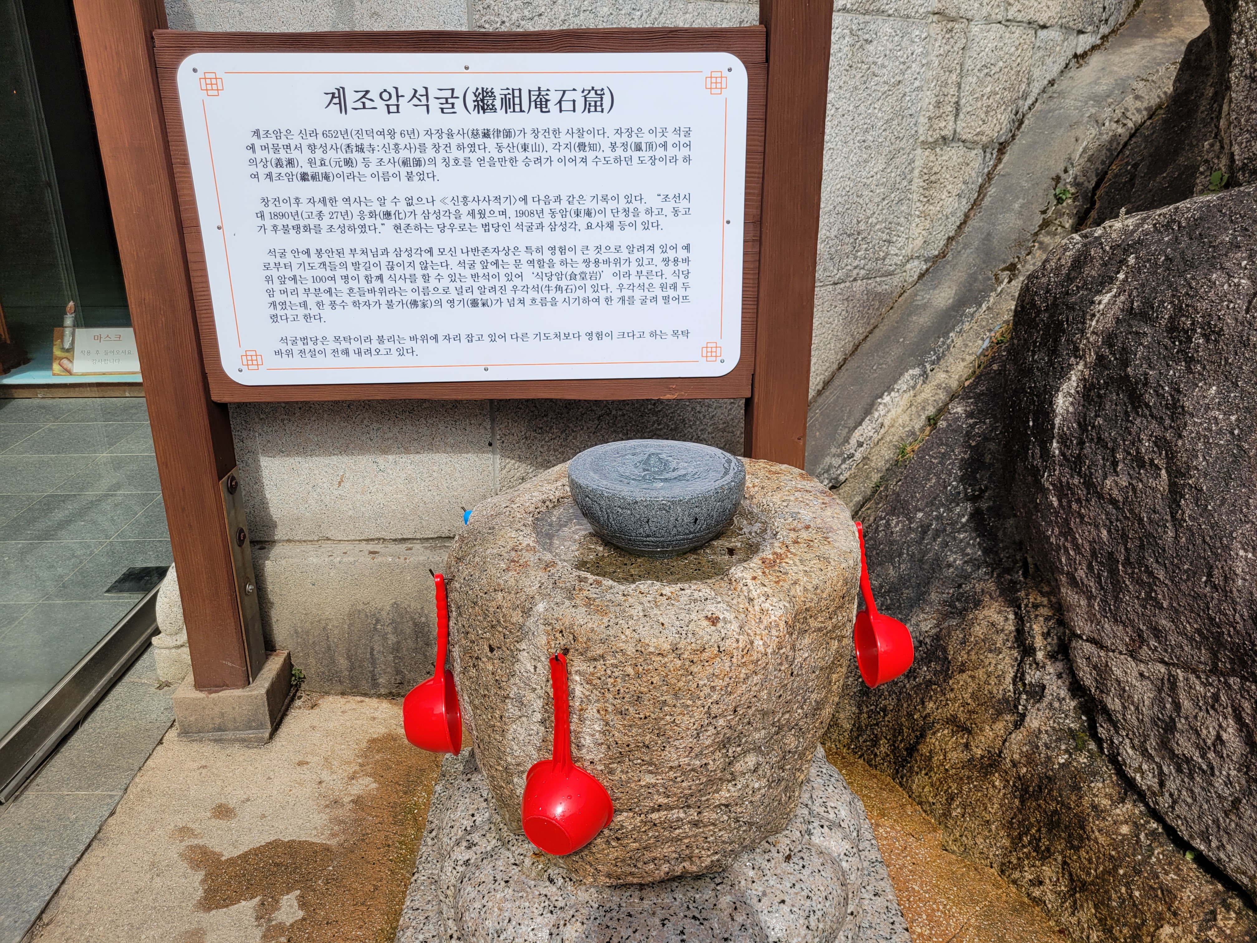
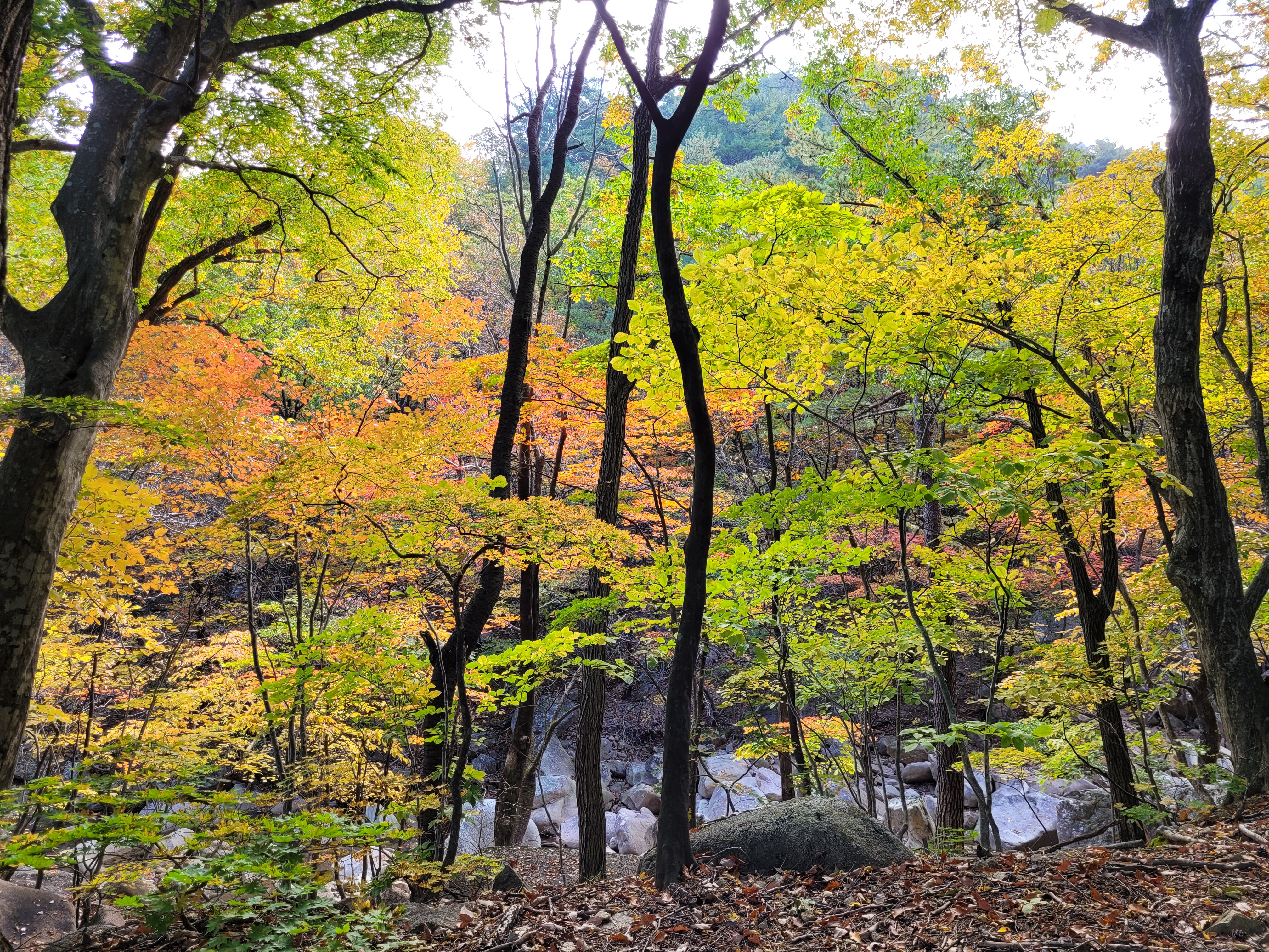
There was a cave temple along the way, with water fountain to drink from (you bet I did), and the leaves have just started to really show their fall colours.
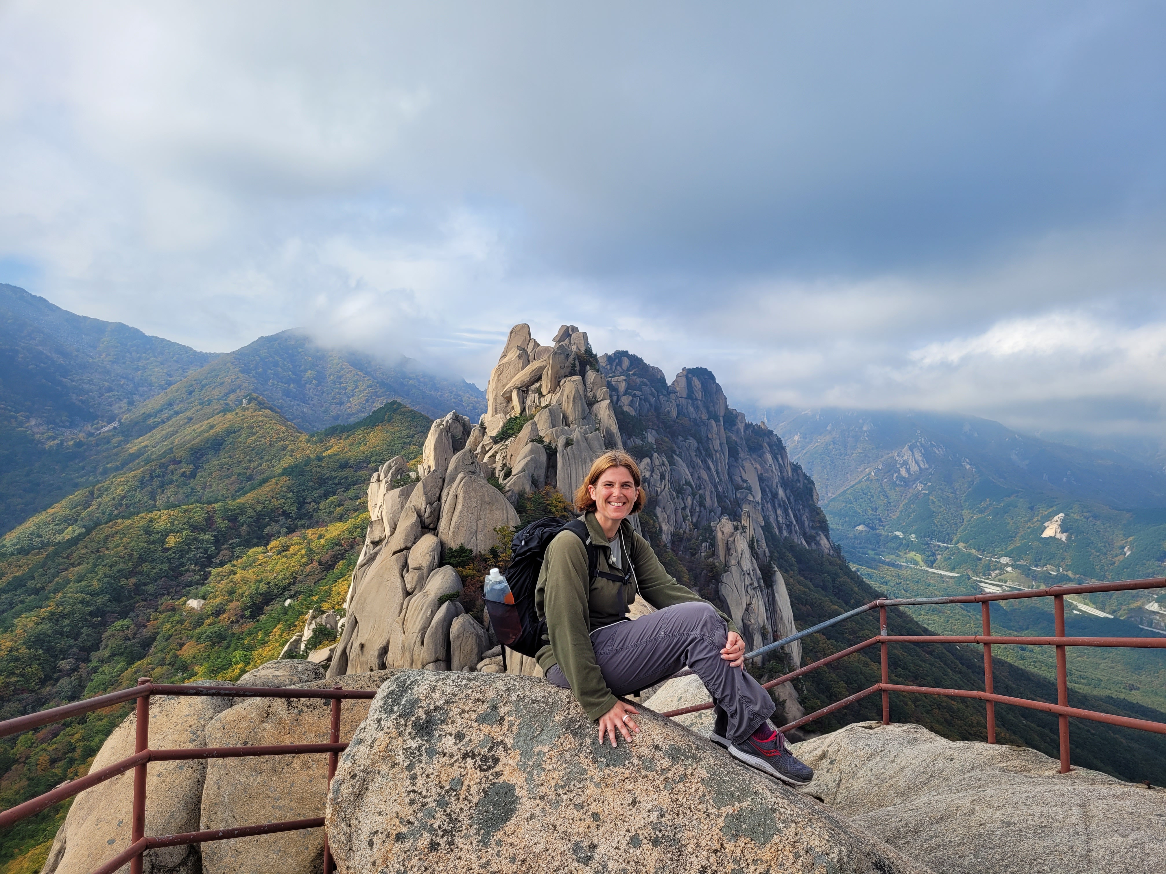
The rock formation at the top was interesting and unusual in shape and I could see all the way to Sokcho and the sea. And of course, I had a lovely couple offer to take the obligatory peak photo for me!
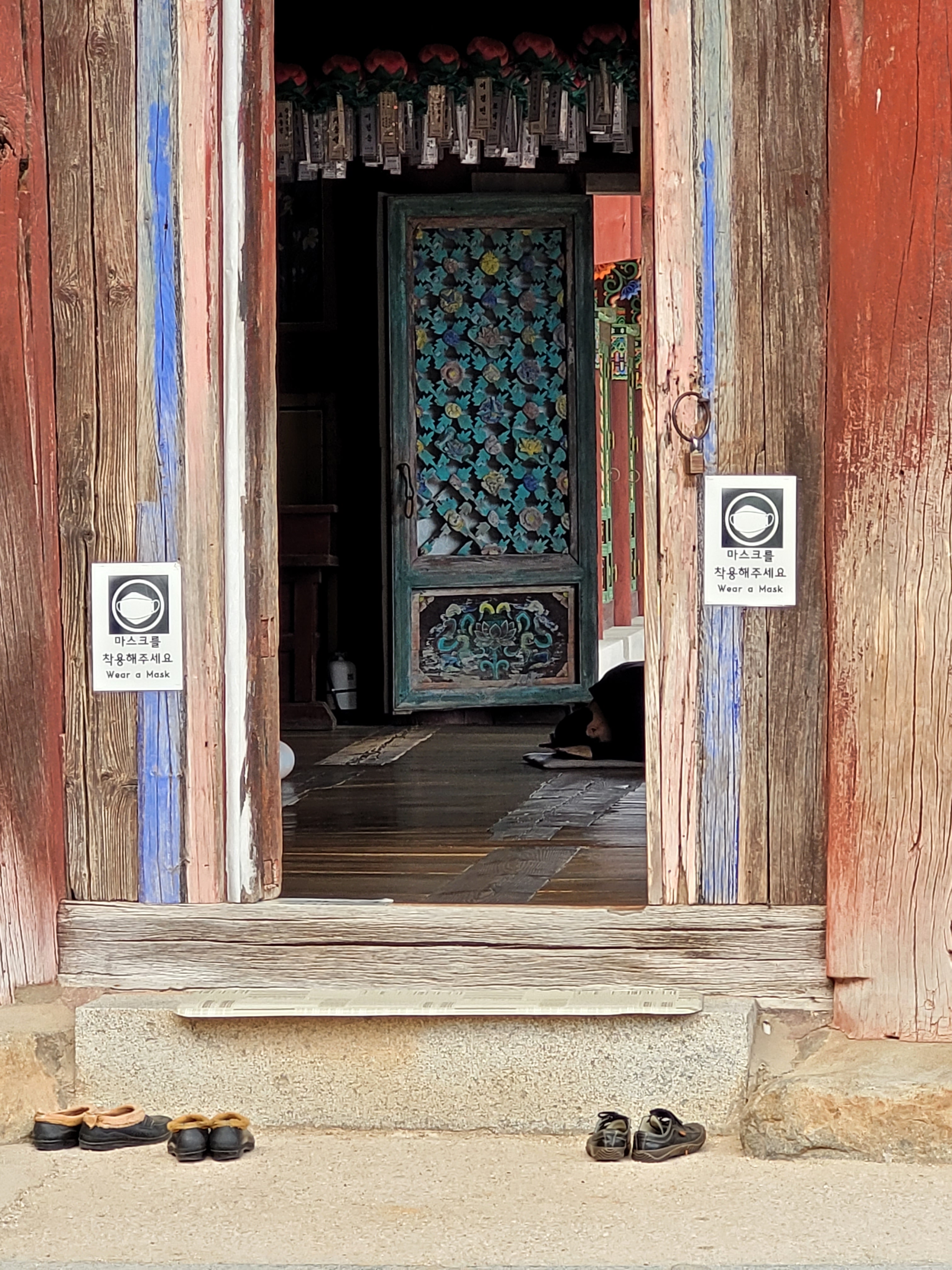
Ulsanbawi was a faster hike than I anticipated, so I found myself with some time on my hands when I reached the base to look at the temple where I watched a gentleman performing his 108 bows (this is a Buddhist practice for prayer) and was introduced to elements found in Buddhist temples.

I decided to make a quick trip to Biryong Falls as well as I still had energy and daylight to spare. However, I didn’t read the sign posts properly and actually ended up in the dying light heading a slightly longer and harder distance to Biseondae Rock instead, in the company of some hiking nuns – but hey that worked out well too!

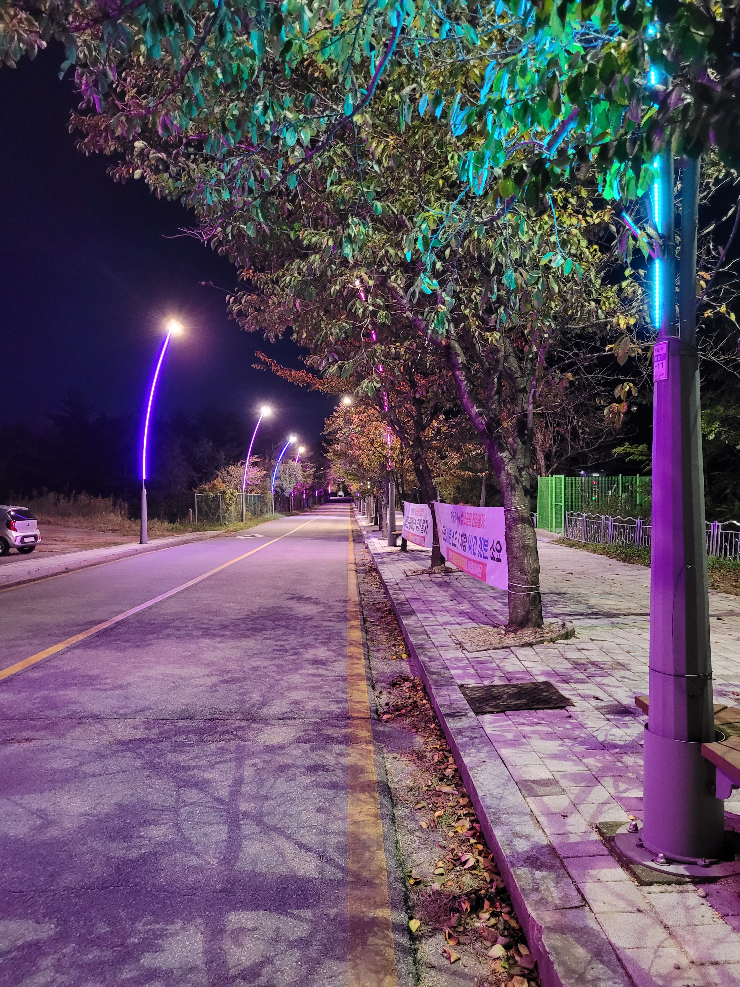
Even though it was late and dark, my accommodation was within a half hour walking distance from the park entrance and the roads are well-lit to walk safely!
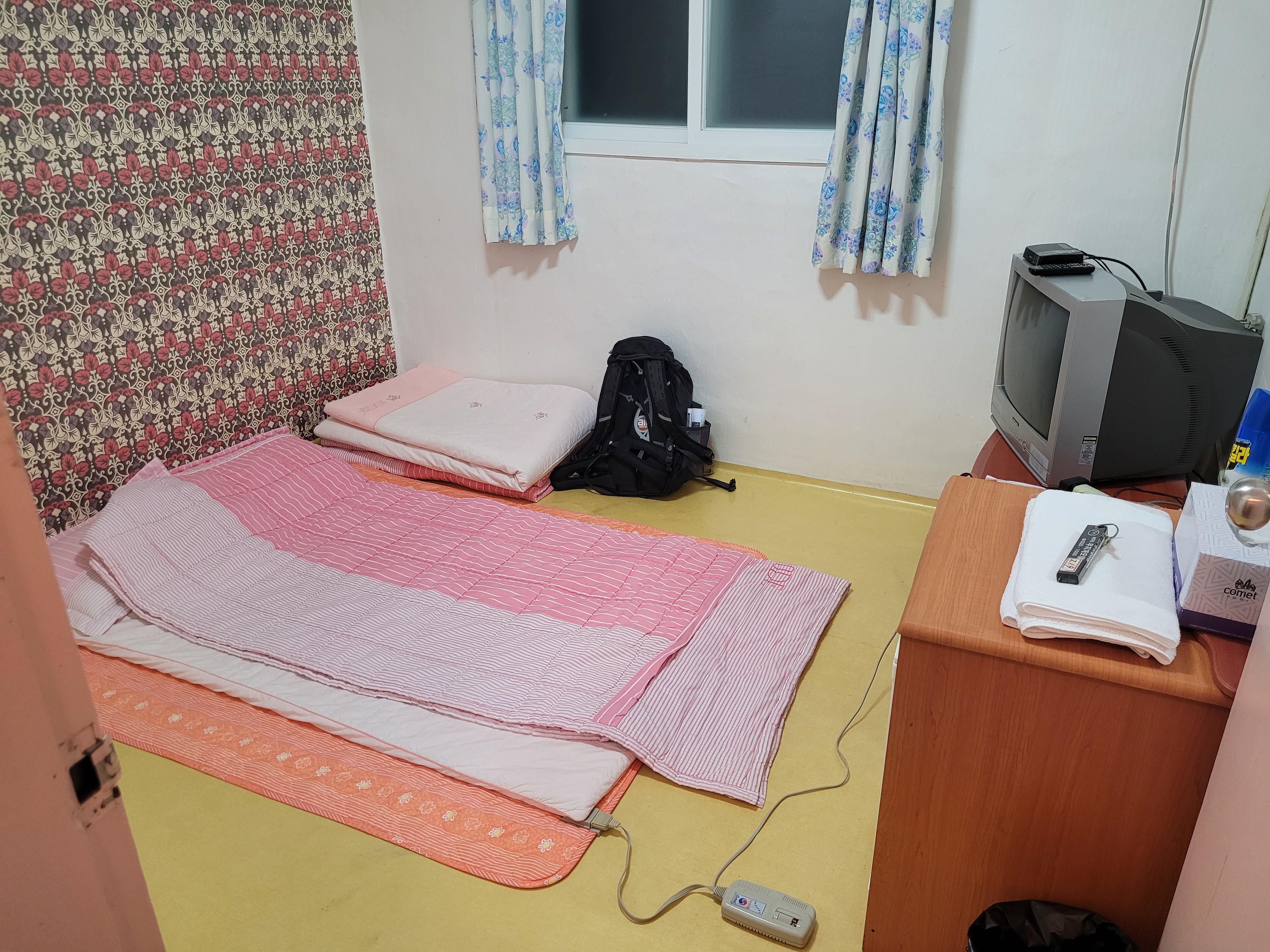
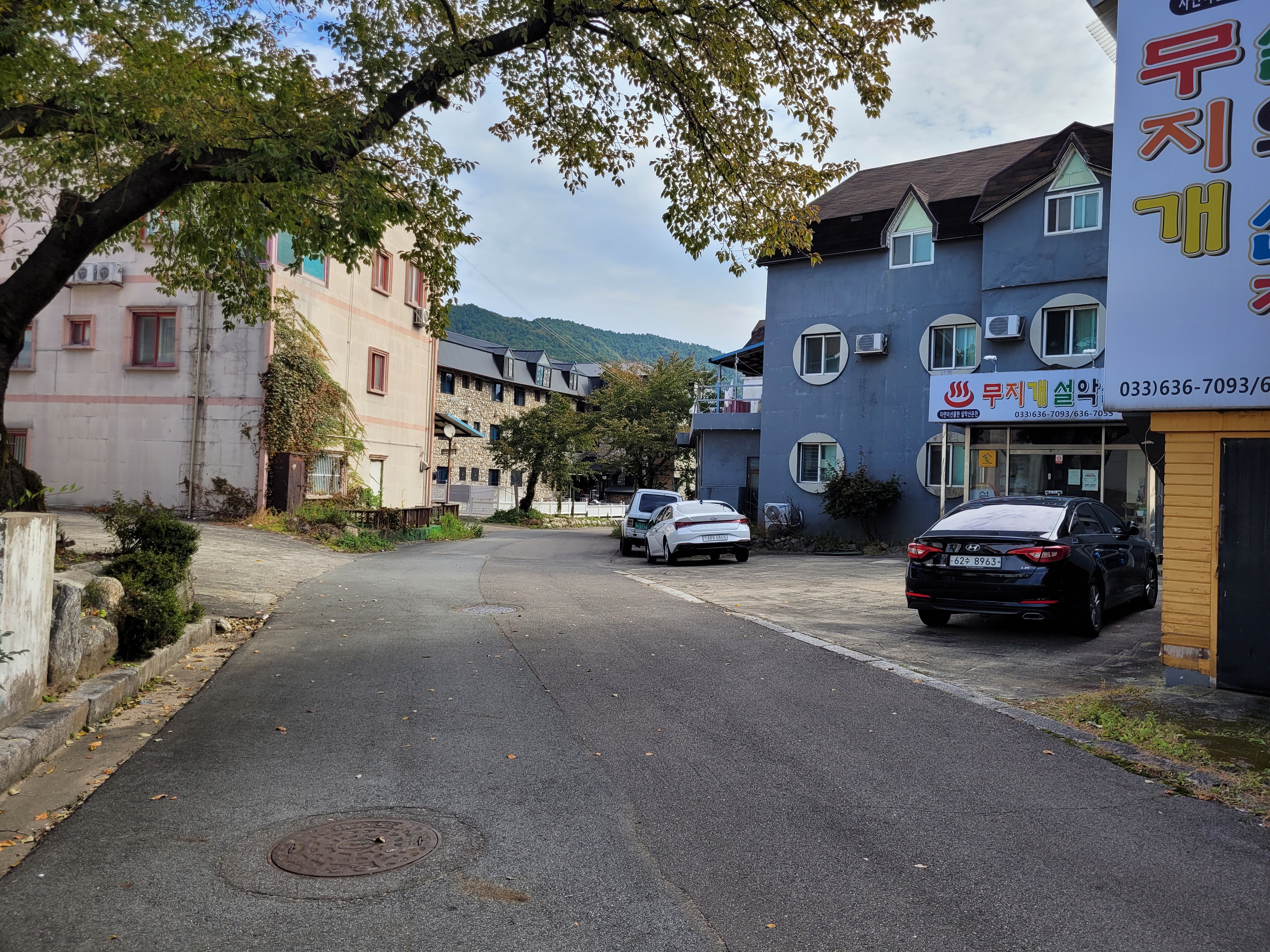
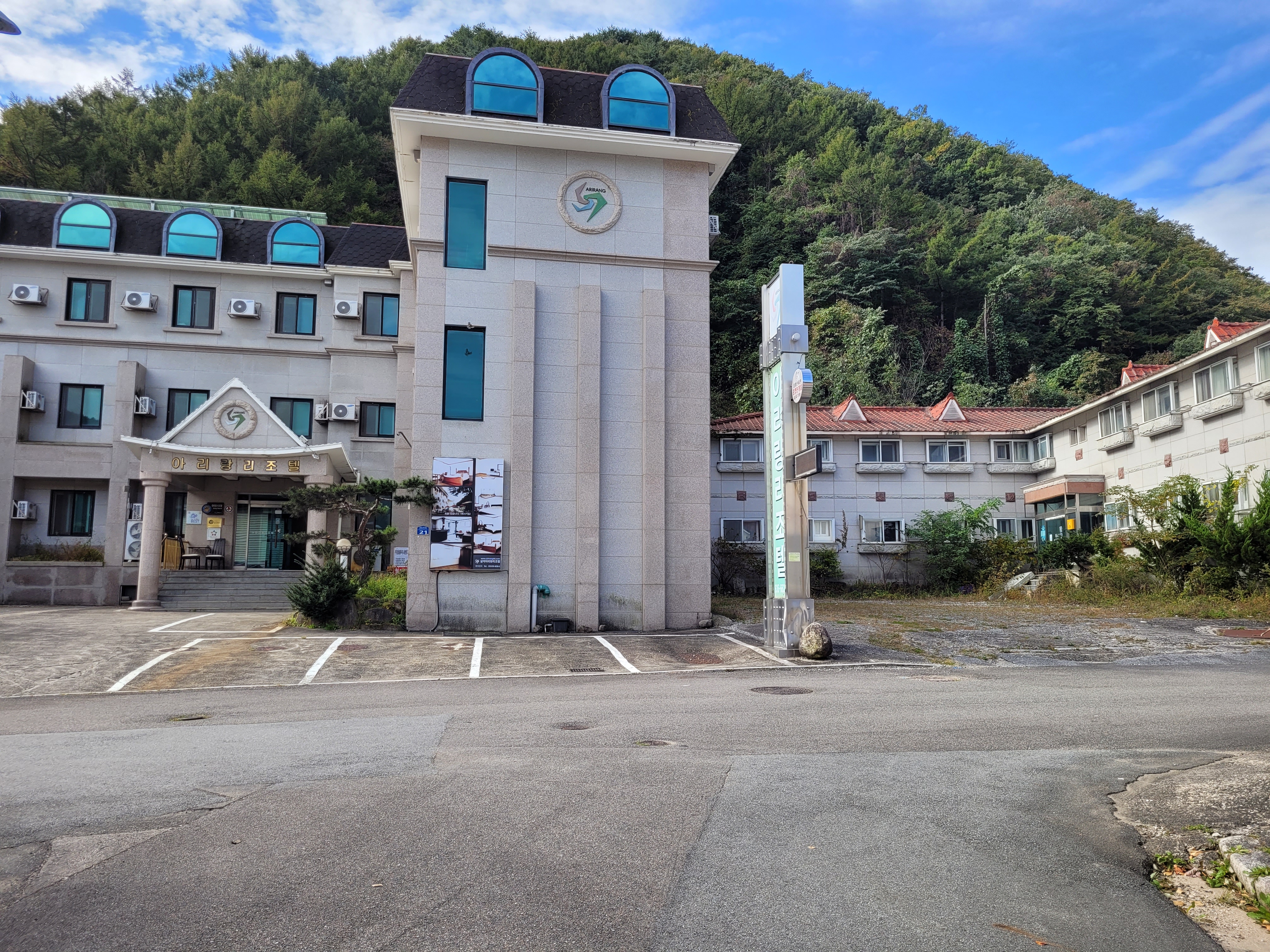
I also should mention my Airbnb while I am at it. I will describe it with fond affection, but as something that had the air of The Shining about it. In fact, the whole hotel/hostel complex area I stayed in had this depressed, tired feeling to it. It has the aura of having seen its heyday in the 80’s.

But I don’t really understand this as the park is ridiculously popular and beloved. A fact I saw in full force the following day. I walked out of my hostel to discover this…
The weekend has arrived and Koreans be hiking!
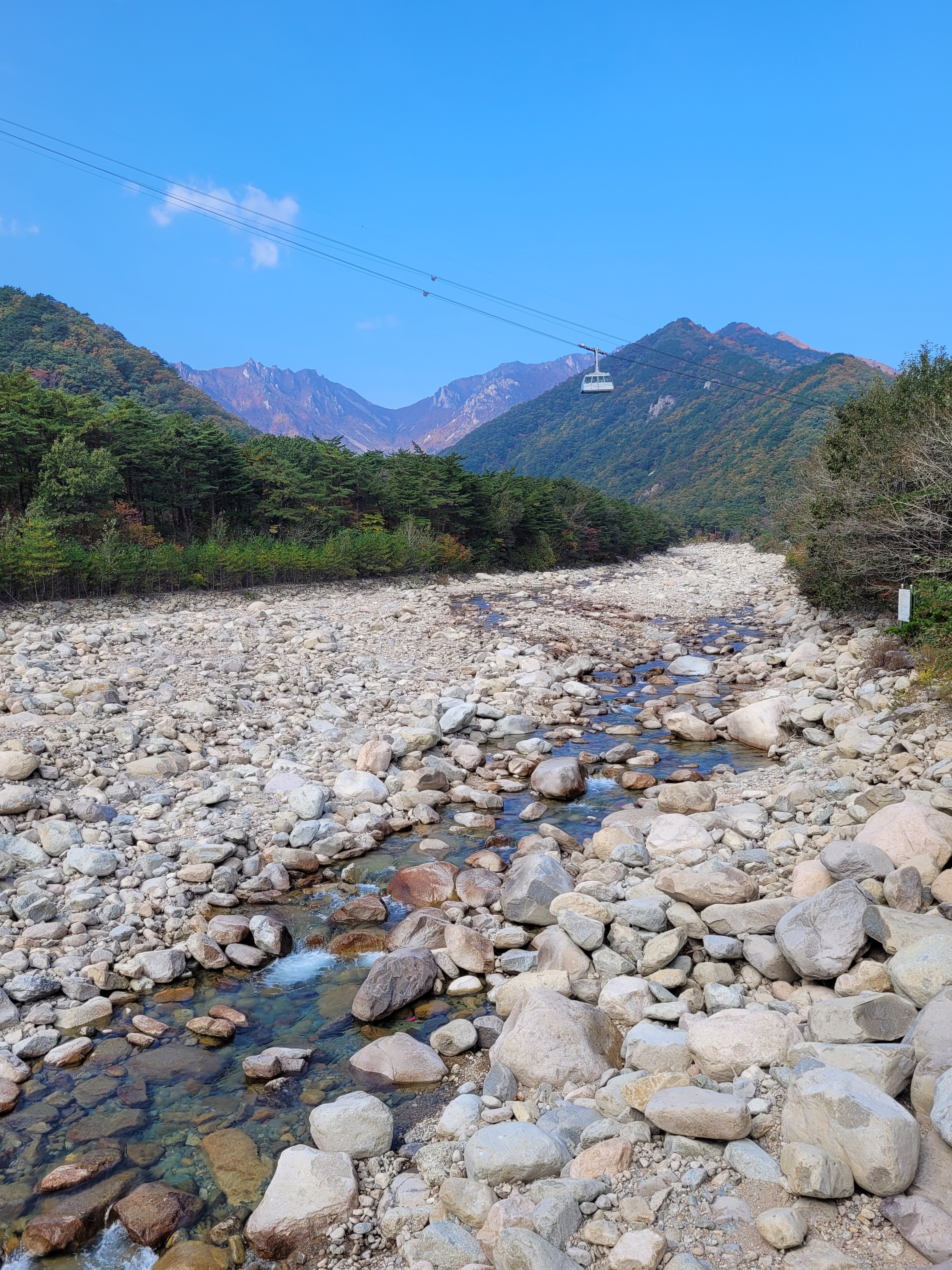
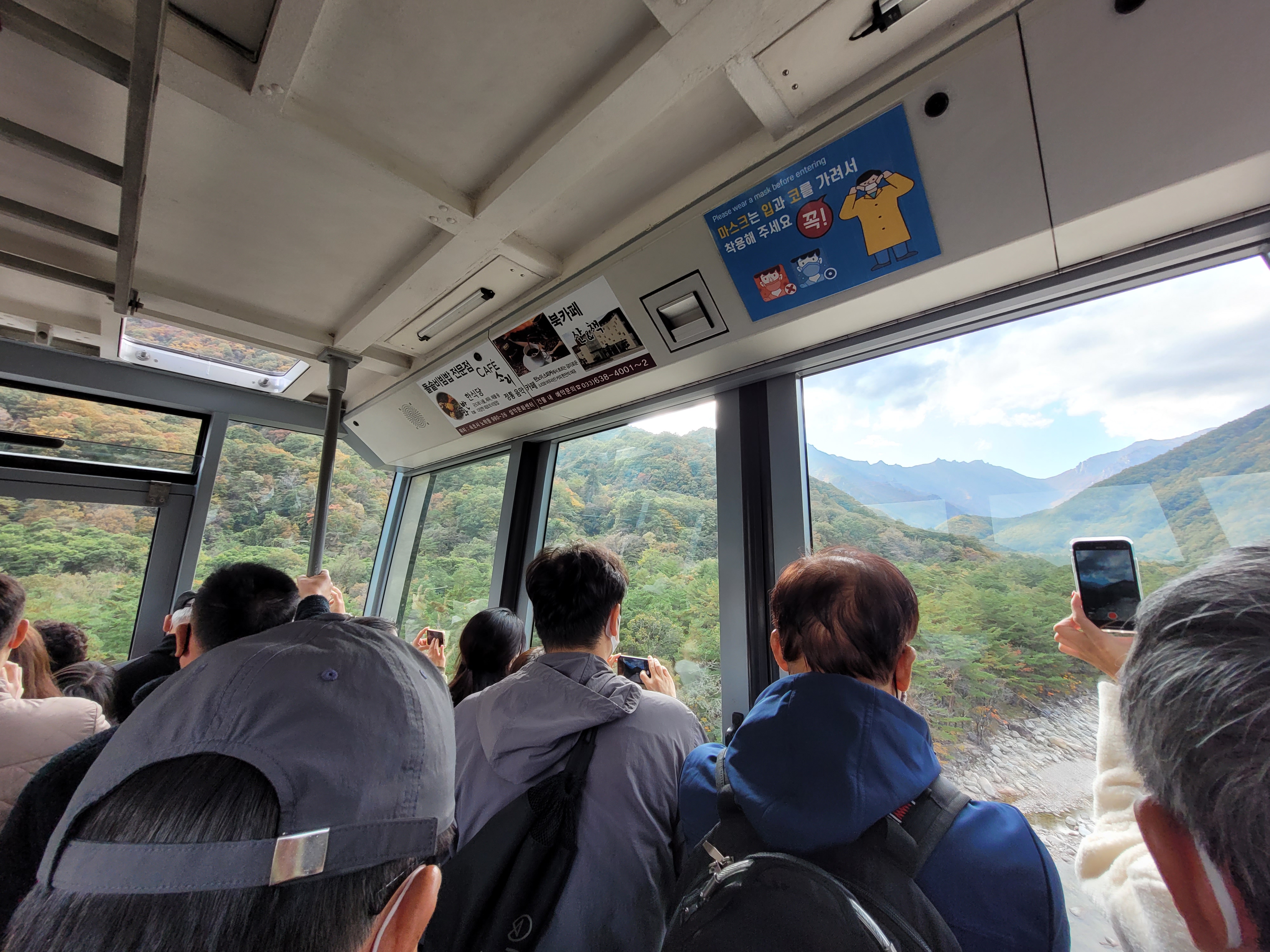
Braced for the busyness and popularity, on arrival at the park in the morning I went straight to the cable car to book my ticket for the afternoon, planning to hike and then return to see the Gwongeumseong Fortress – good plan and had been forewarned of this (by either Andrew or the Israeli chap, I can’t remember which).
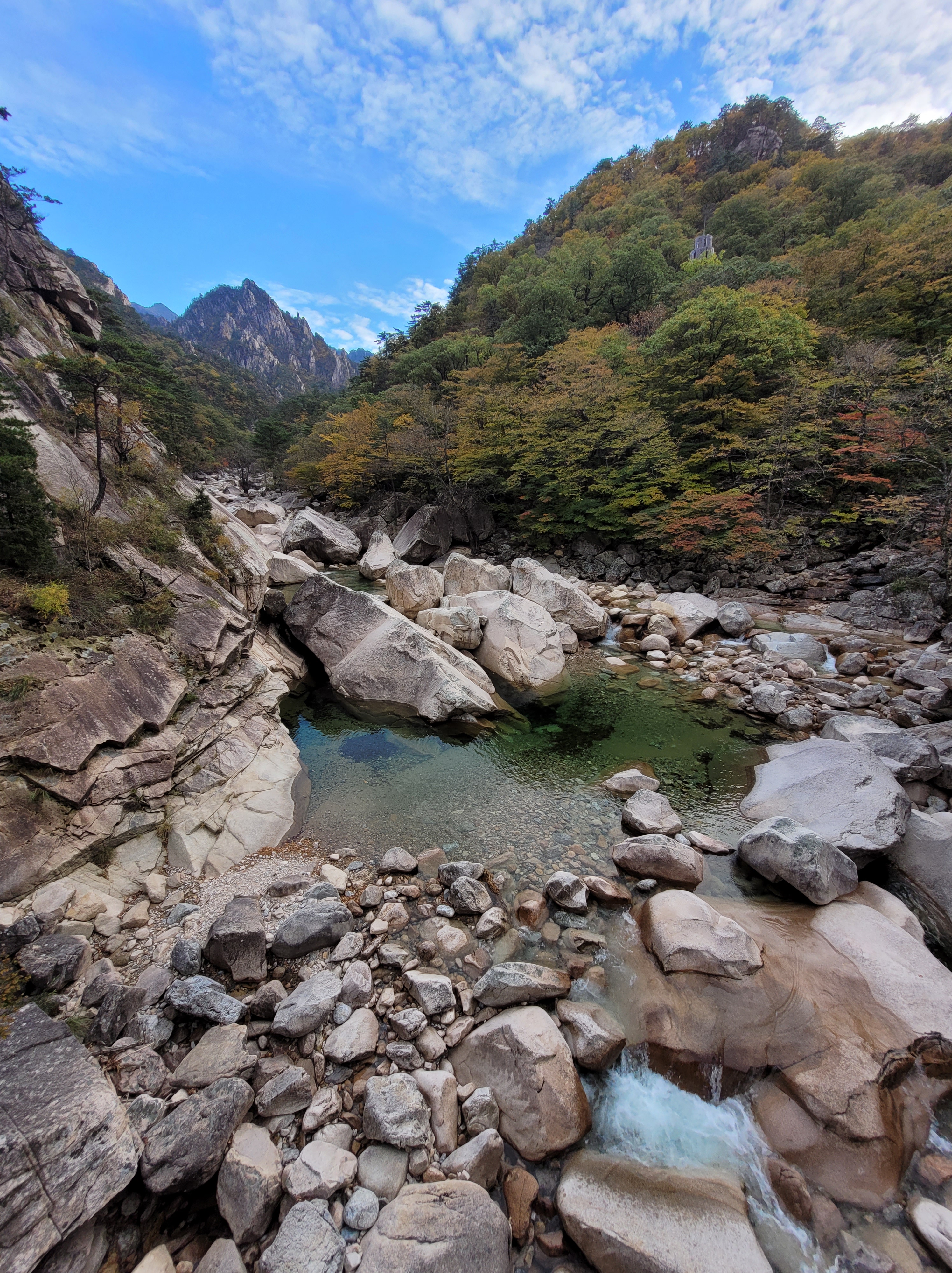
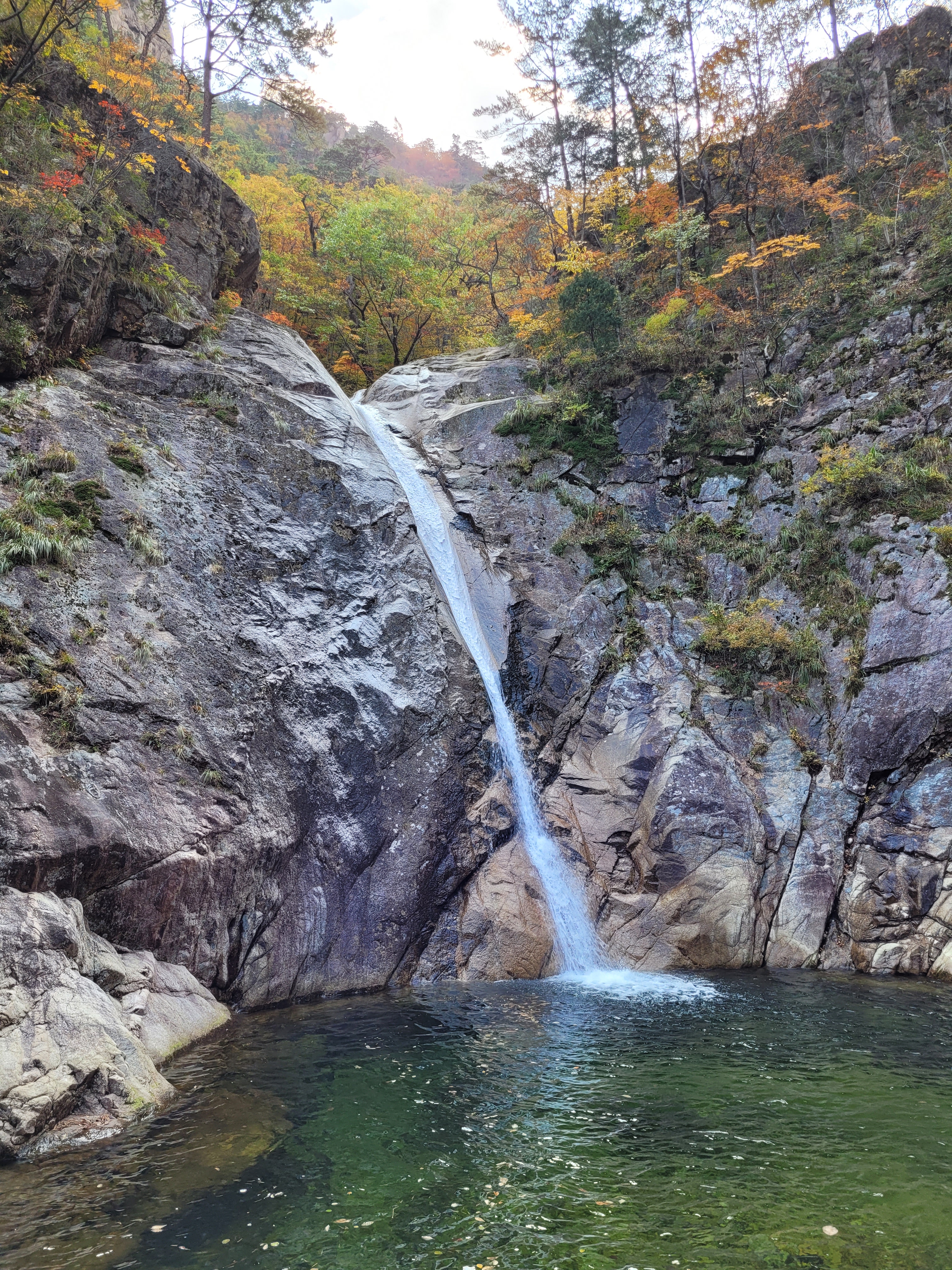
In contrast to the Ulsanbawi Rock climb, Biryong Falls was a lovely and relaxed forest walk, the only real effort needed to get to the observation point via some stairs. All the views were stunning. I must have stopped about 500 times just to look around and when I reached the viewing platform I was stunned to discover I was alone for about 5 minutes before anyone arrived (and it happened to be a group of ladies I had passed on the stairs, one of which who offered me a Halls throat sweet on the way – I think I still may have had some sniffles at this point).
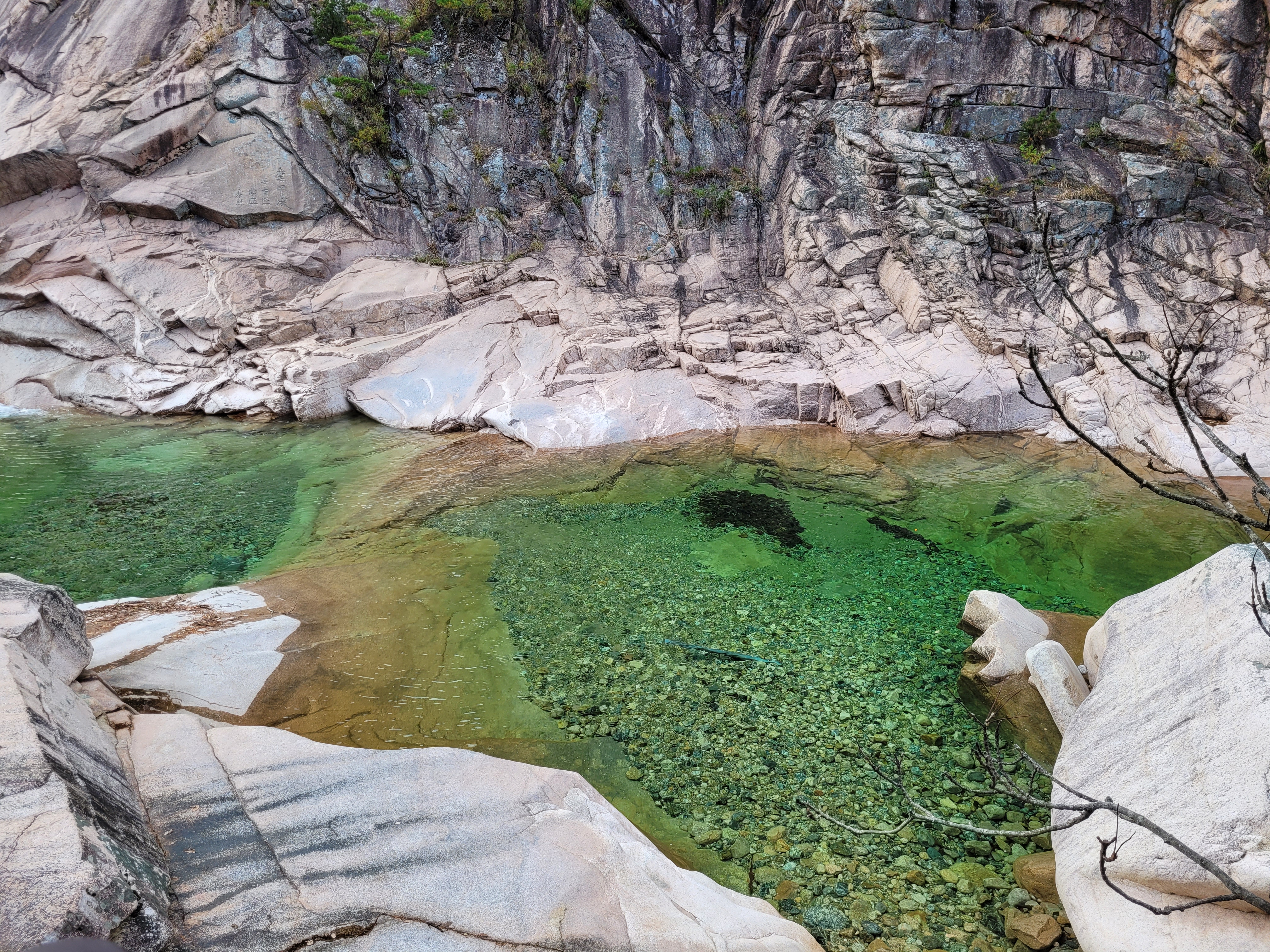
The cable car was a nice bit of tourist fun and once you alight at the top, it is only a 5 minute walk to where the rocky remains of the fortress are scattered. For this small effort you are rewarded with this…
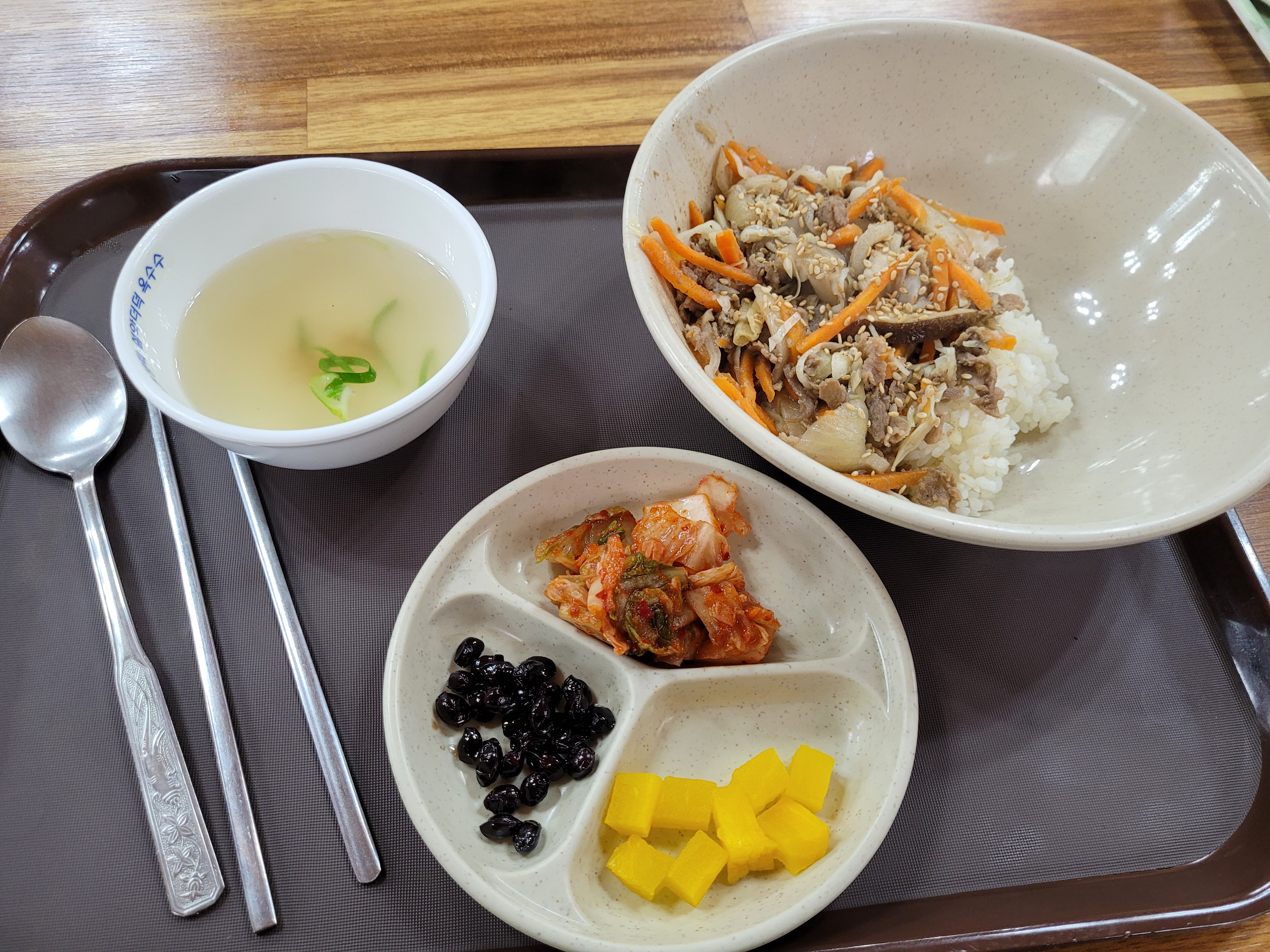
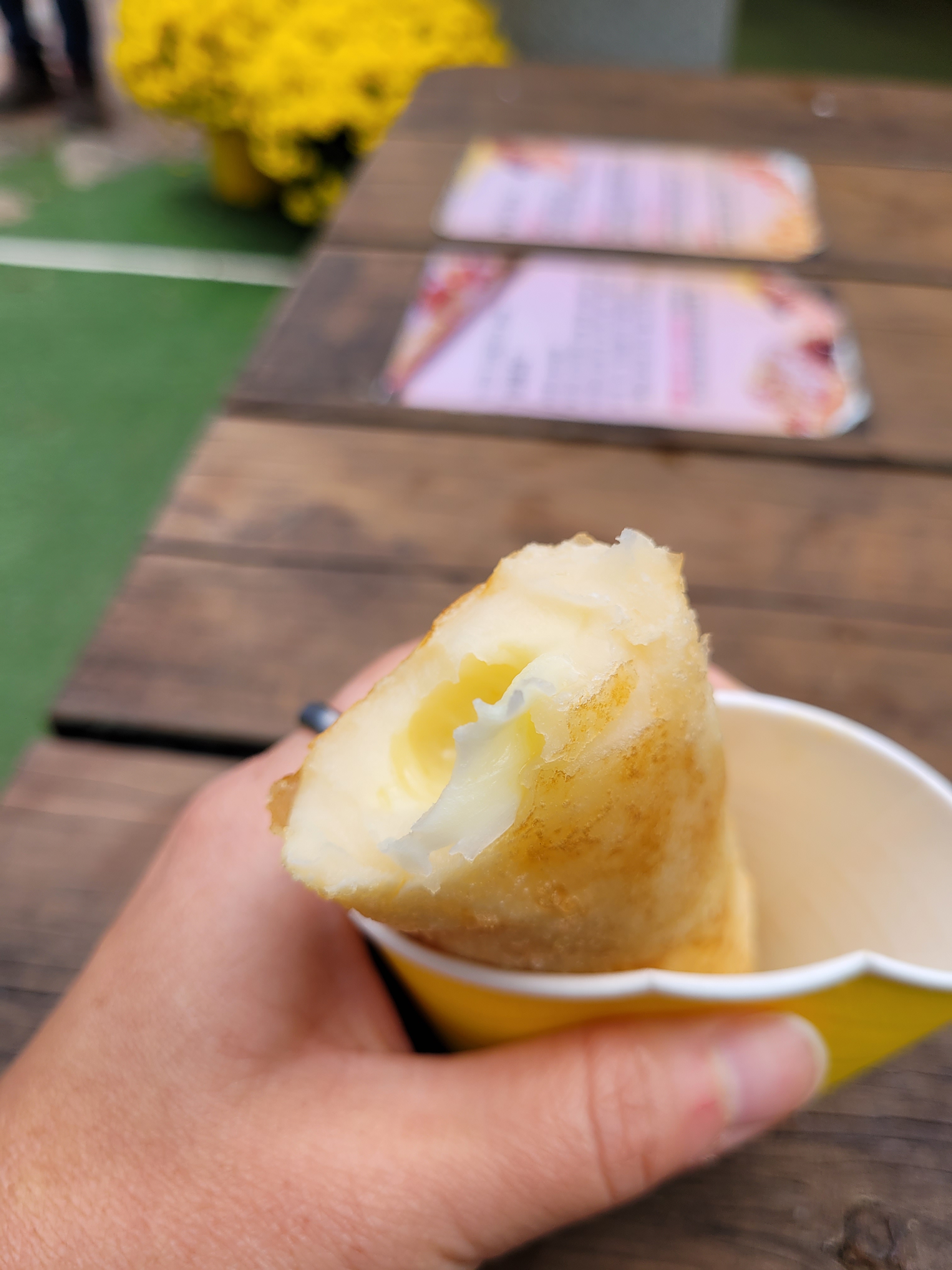
To round off my Seoraksan experience, I breathed deep and entered a restaurant, and got rewarded with some beef and rice (and then later on the way out, a cheese hotteok).
And there you have it. A full thumbs up for Seoraksan National Park. Anyone visiting Korea and potentially in the north of the country (even from Seoul you can take a bus here in about 3 hours for an overnight trip), I would 100% put this on the to-do list just to have a little taste of the Korean wilderness. You can simply take small day hikes as I did, or to get really deep into the park you can attempt 2-3 days hikes and stay in the shelters along the way. Having now had a little experience here and know what to expect, if I was to ever come back, I think I would feel confident enough to attempt a multiday hike to see what the centre of the park had to offer.
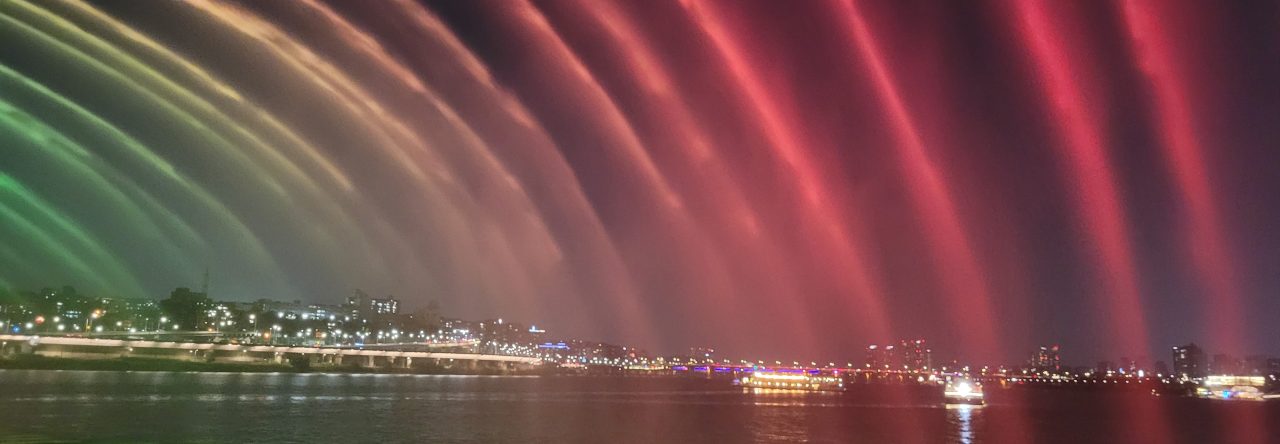
Don’t forget if you are coming to this area, you are a hop, skip, and jump away from Sokcho which is worth a quick visit. I spent the day here, taking the bus from just outside my accommodation, with absolutely no plan in mind apart from seeing the beach. I simply took a stroll through a little of the city.
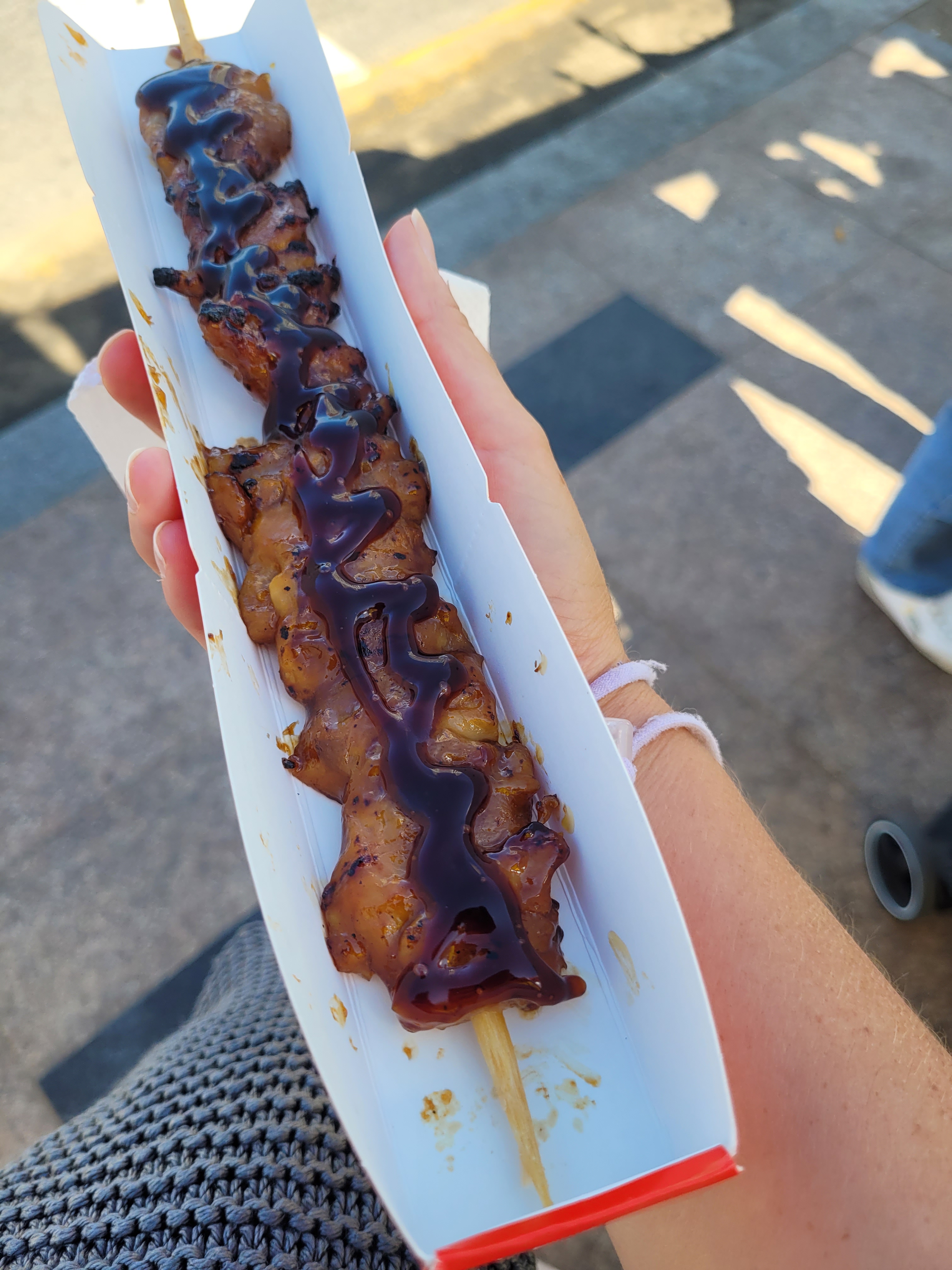
I ended up eating this…
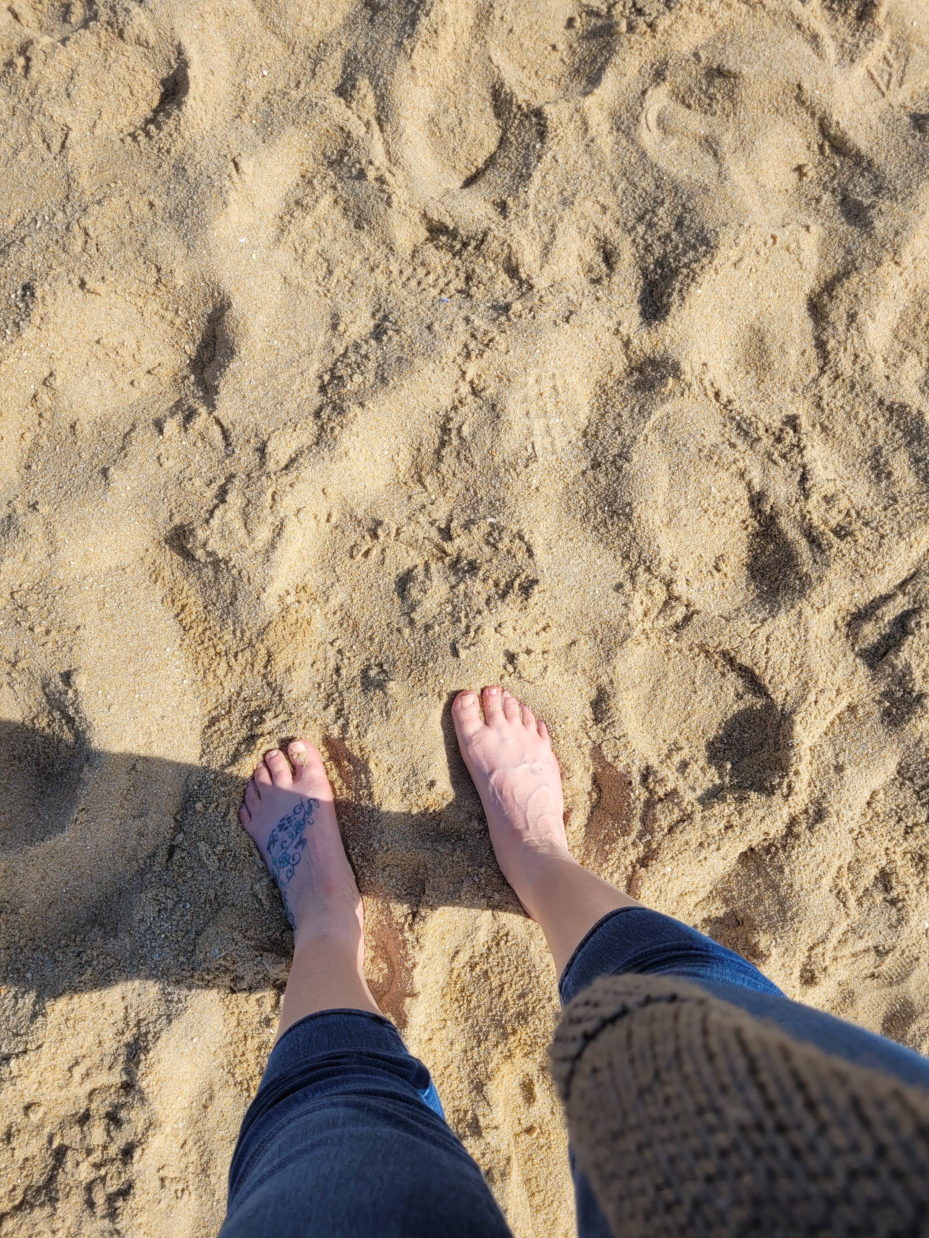
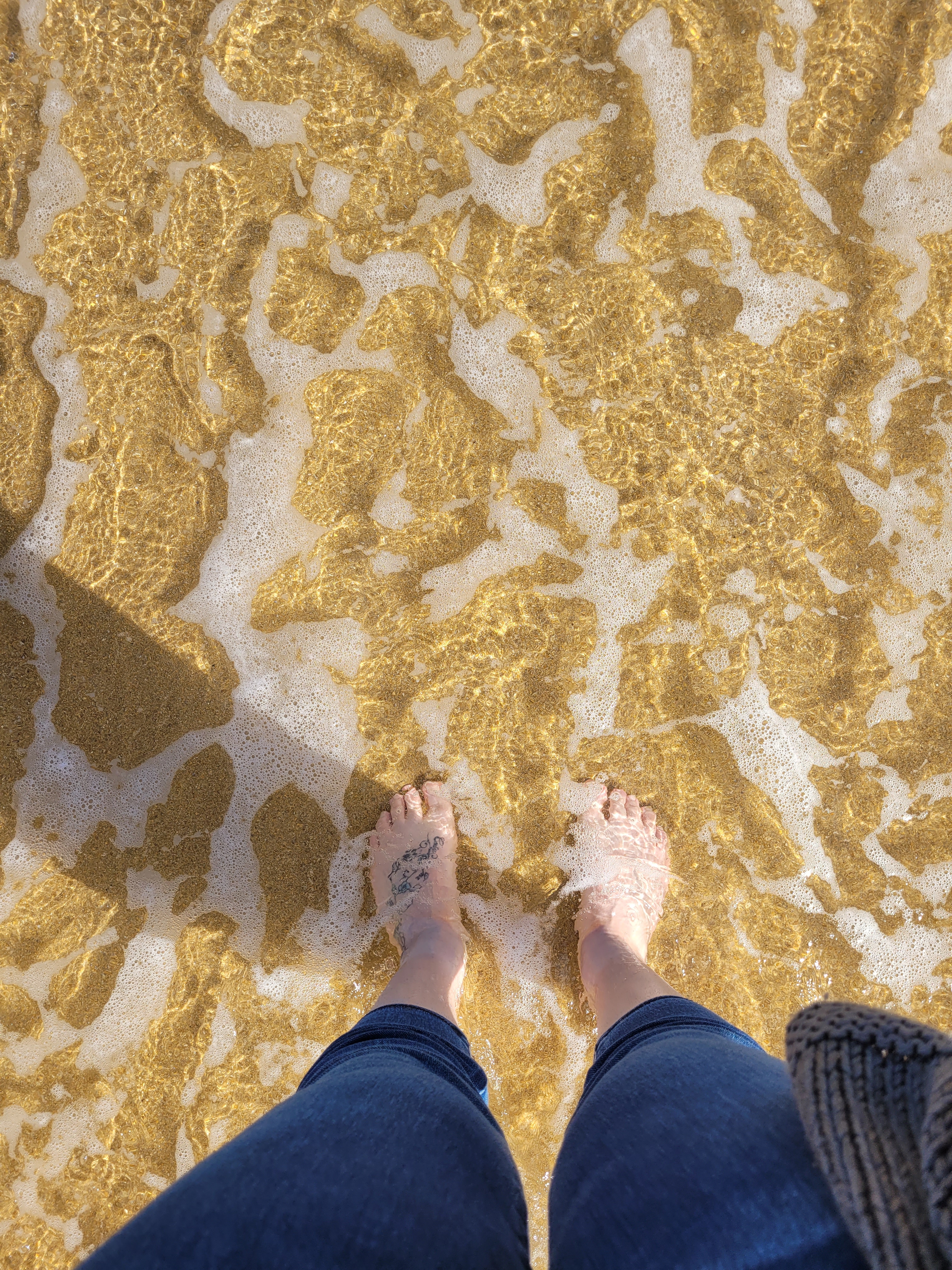
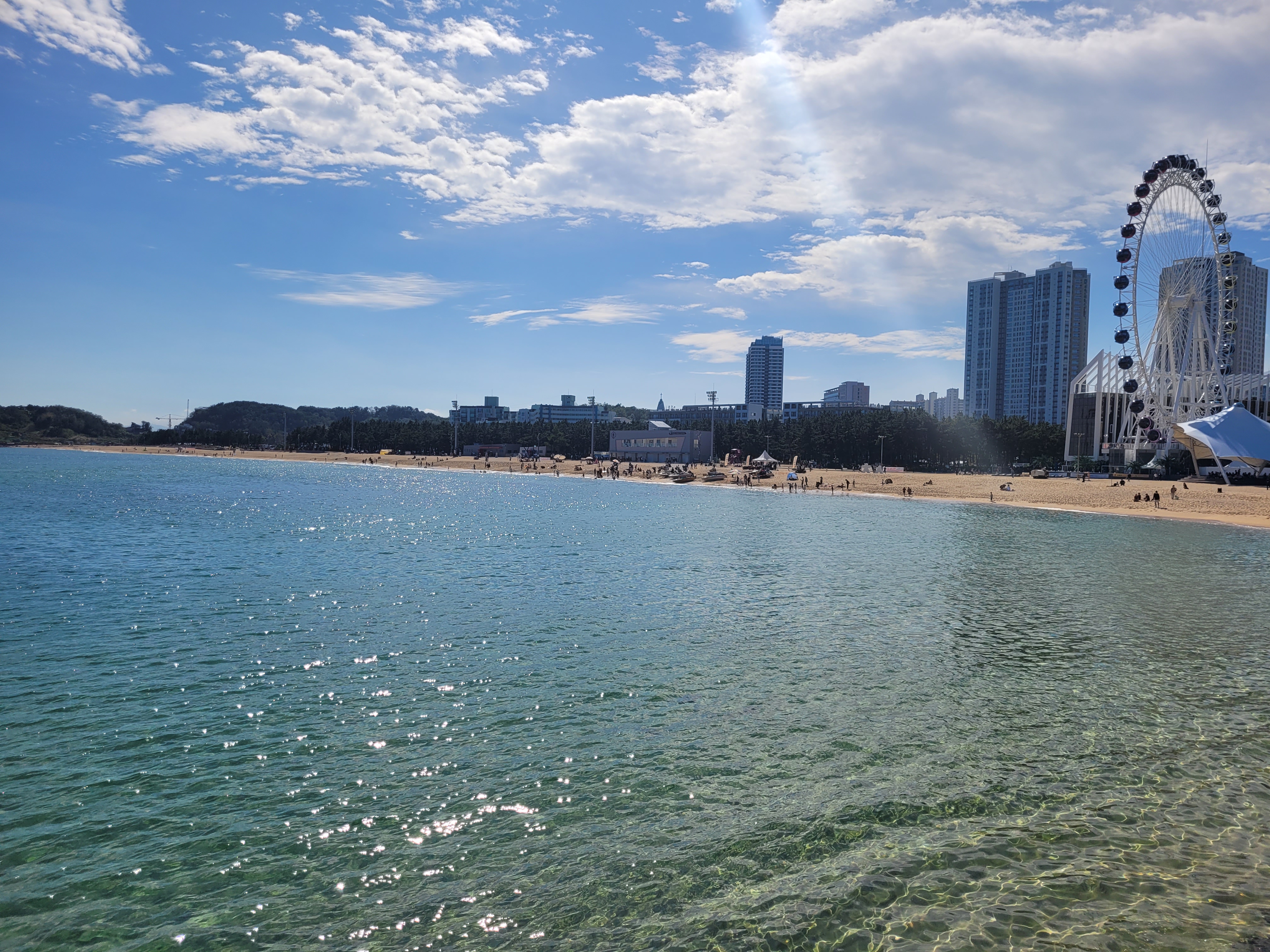
Walking the beach and dipping my feet in this (that’s the East Sea by the way)…
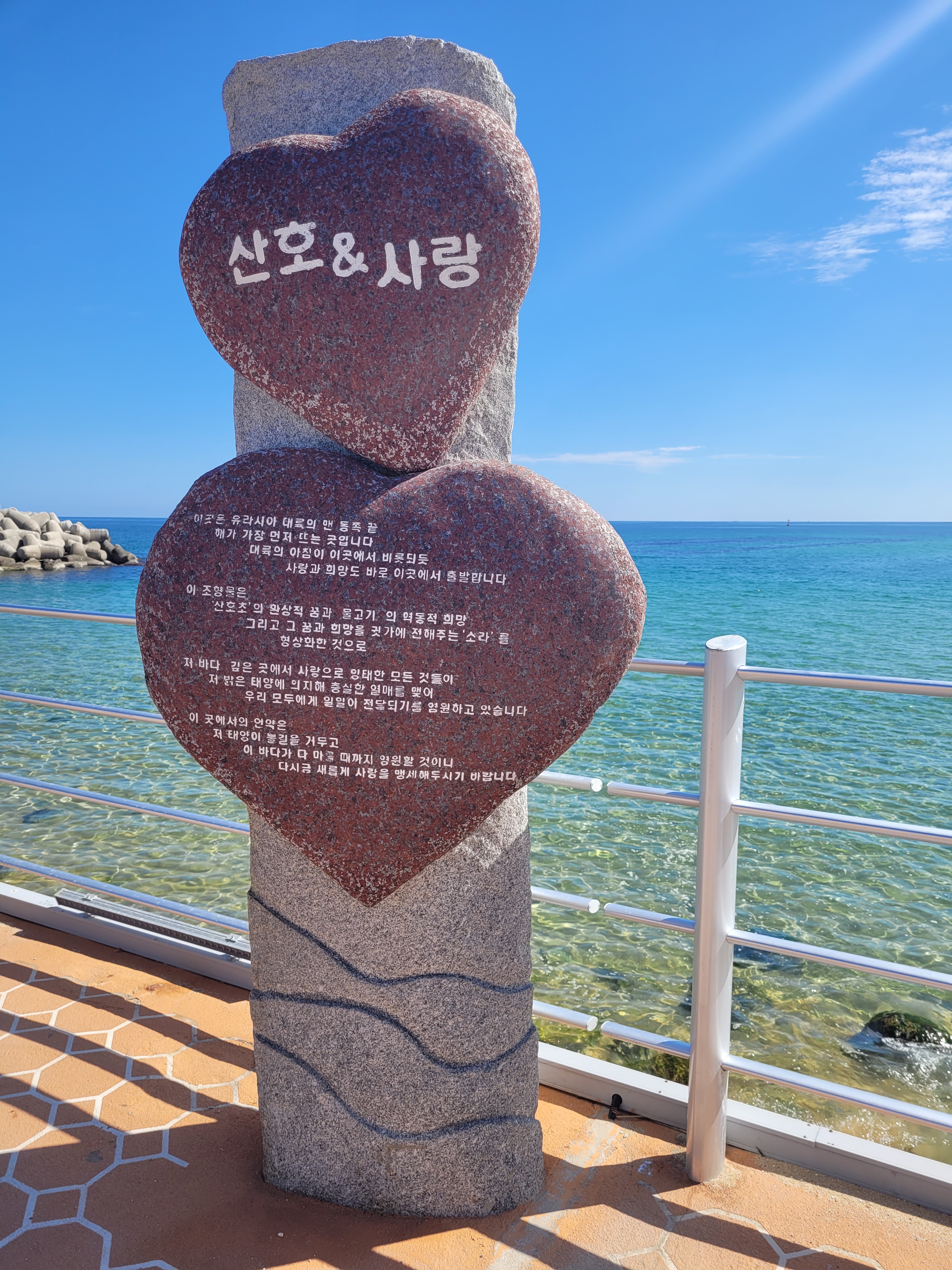
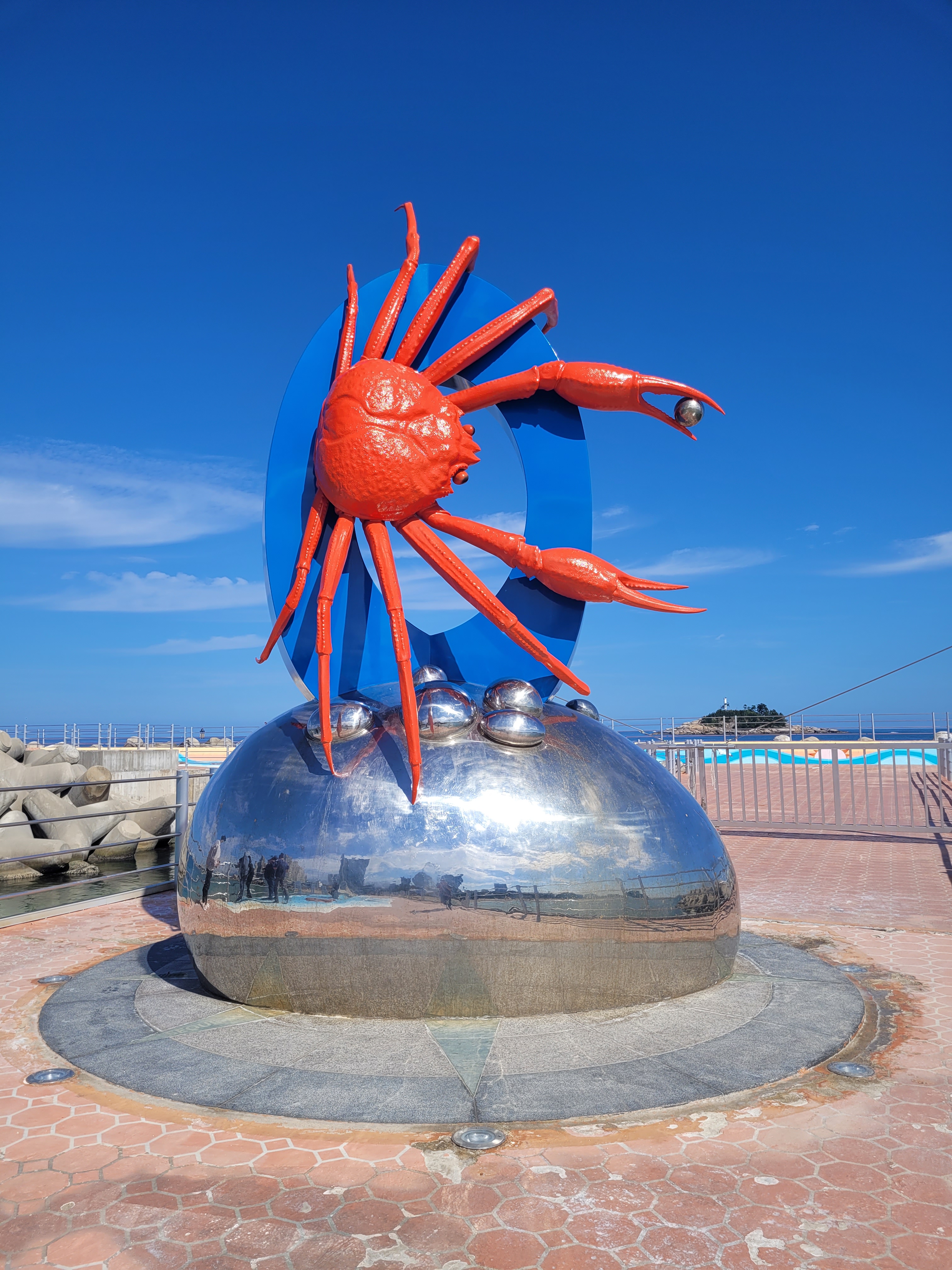
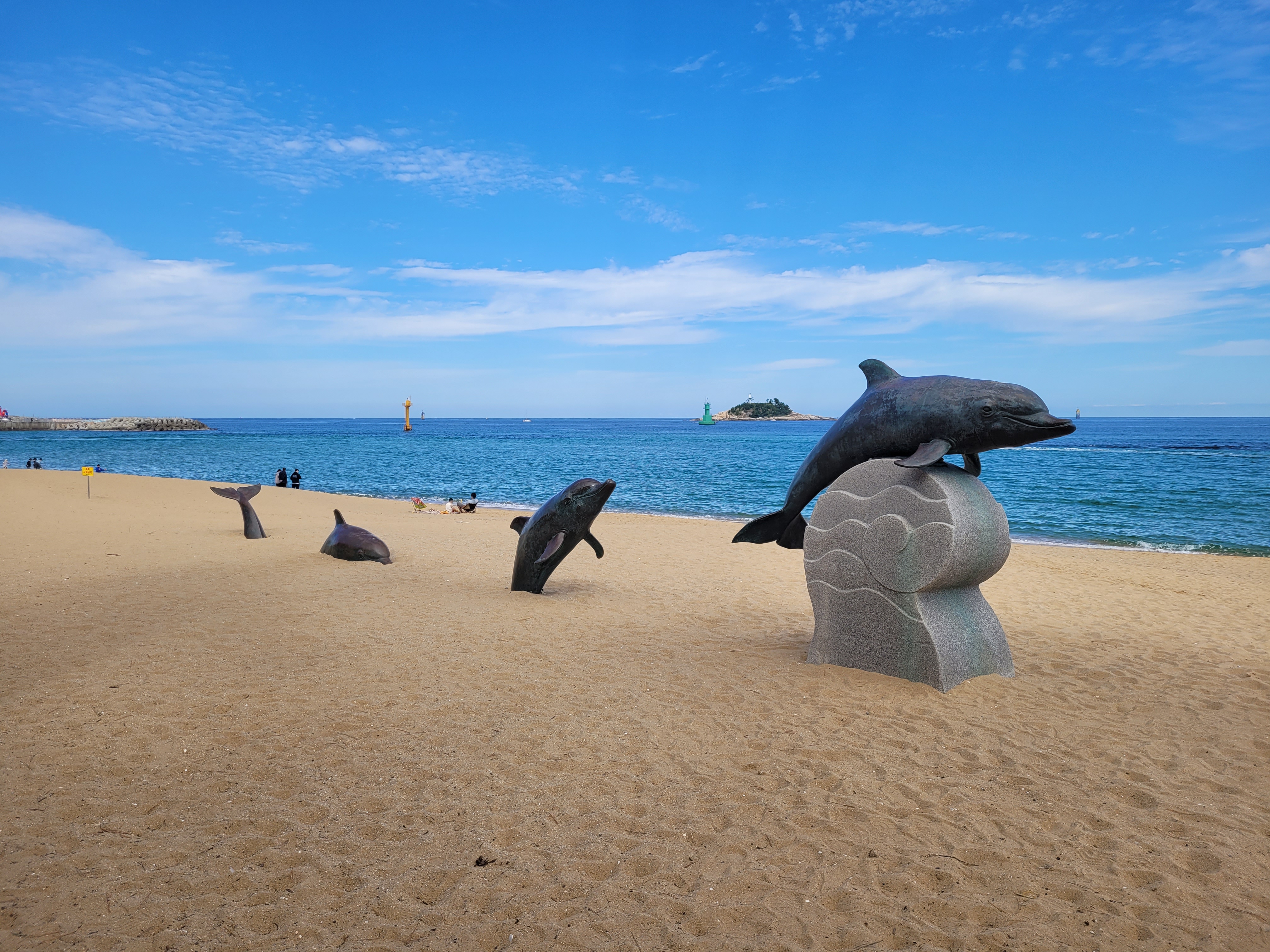
Seeing these things…

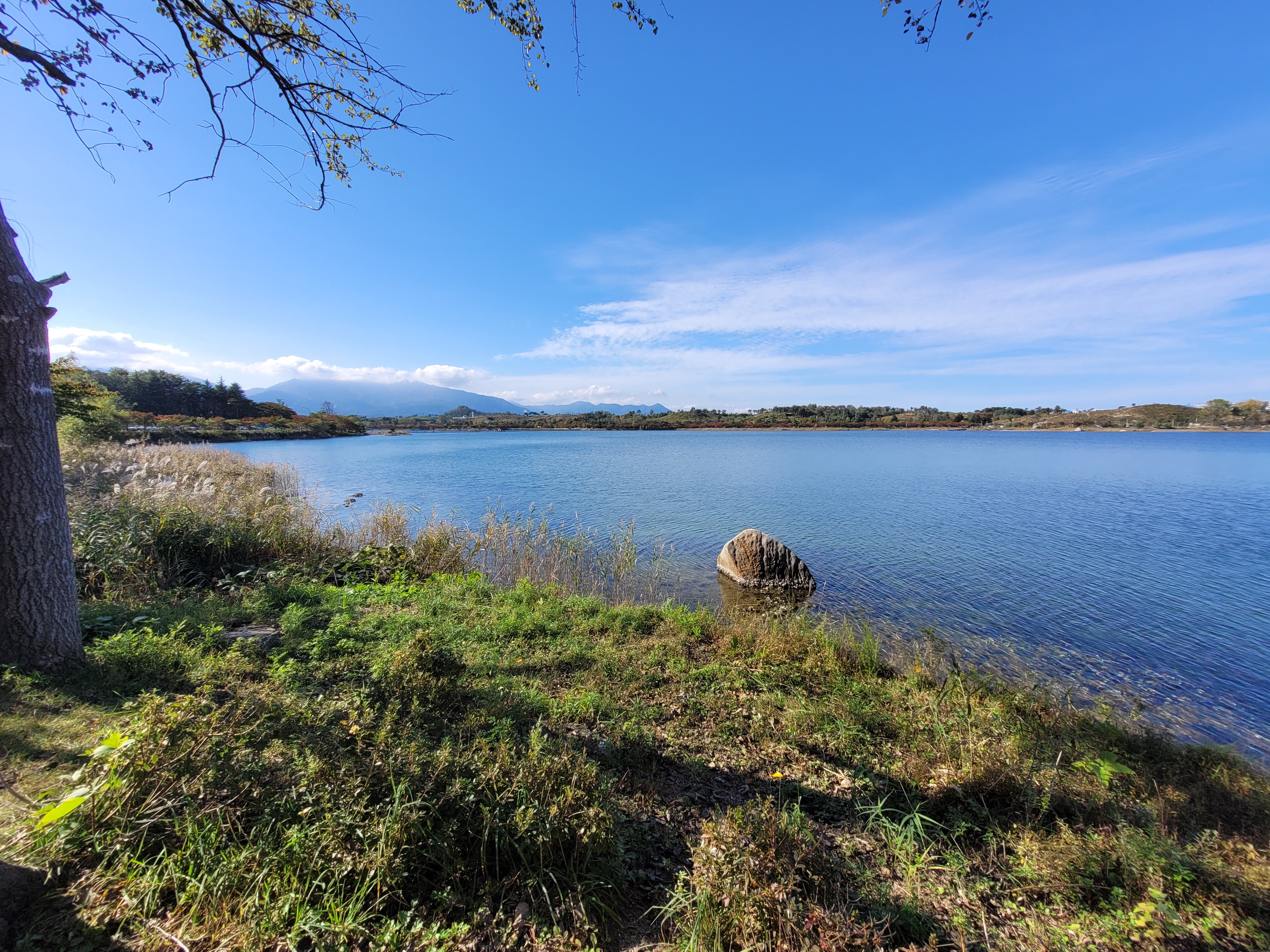
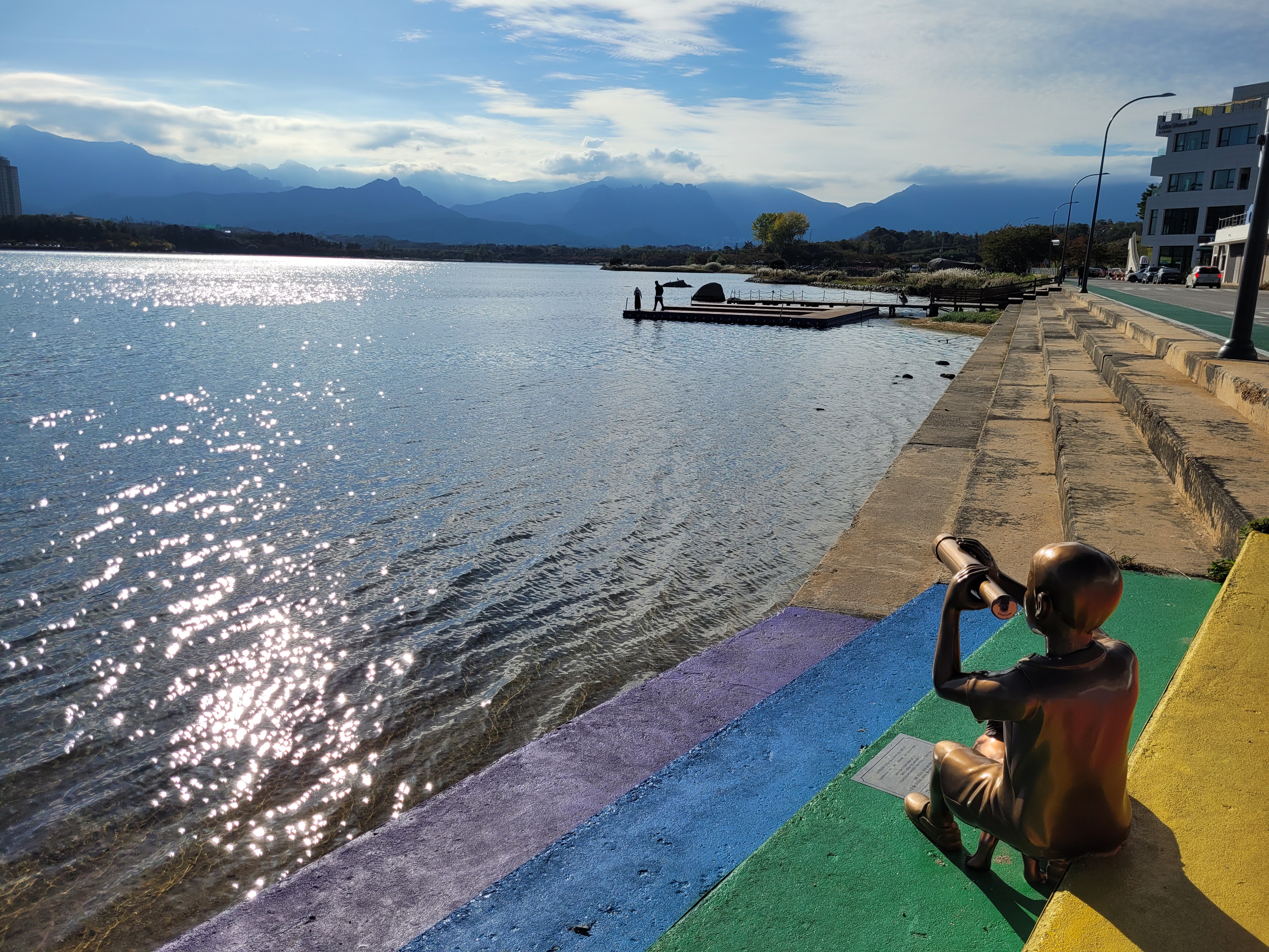
And ending my day by a lake…

It was also on Sokcho beach that I was accosted (in a very friendly way) by the chap I had mentioned in a previous entry, the gentleman who was so happy to talk to me, a foreigner who had come all the way from England to visit Sokcho! Overall, I can say that my visit to the city was a very relaxed and laid back one.
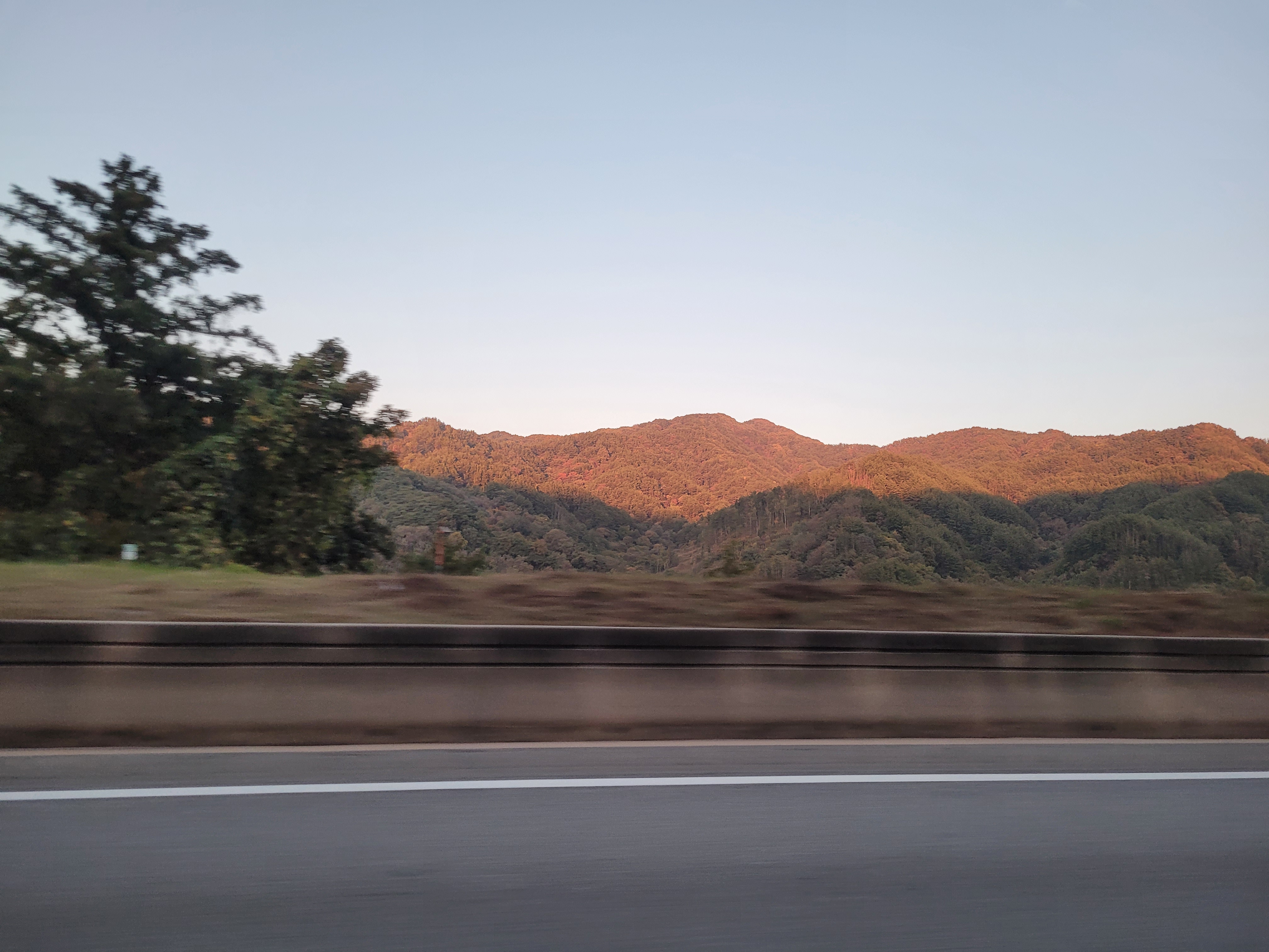
Right, National Park round two – Odaesan and Chiaksan!
Although I am slightly lumping these two together, I want to point out this is only because I visited both parks in one day on my drive south-west towards Jecheon. I will also say this was a poor idea on my part. It resulted in me having a wonderful hike in Odaesan in the morning, and a meagre, rushed experience of Chiaksan in the afternoon. I have learned my lesson since and will only hike in one park per day now.
Odaesan is still one of my best hikes so far. I have discovered that when I randomly select these hikes from the KNPS website, I really don’t know what I am going to get. The descriptions on them are so airy fairy (I don’t know if this is just a translation issue), it could be amazing or just a bit meh.
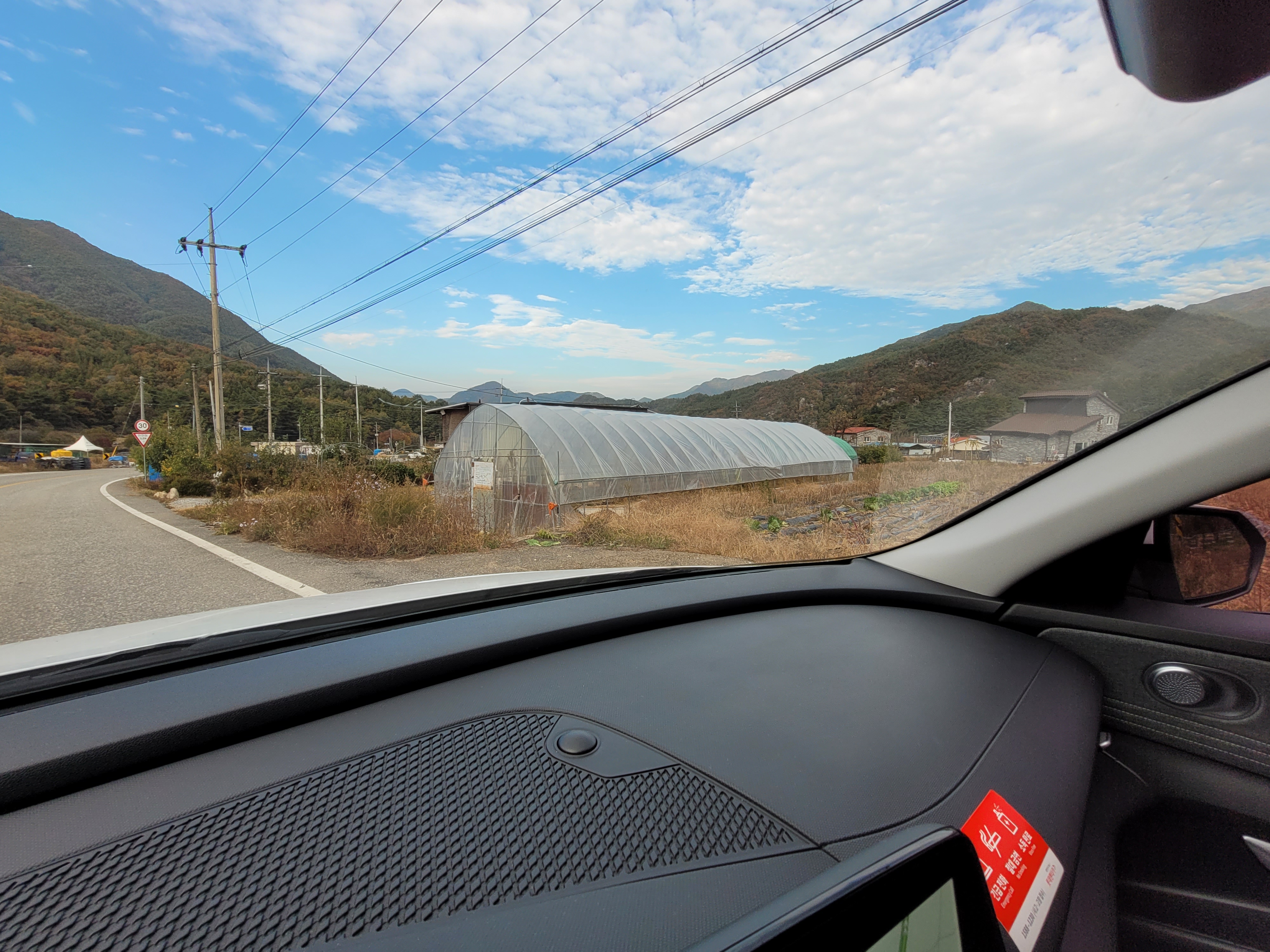
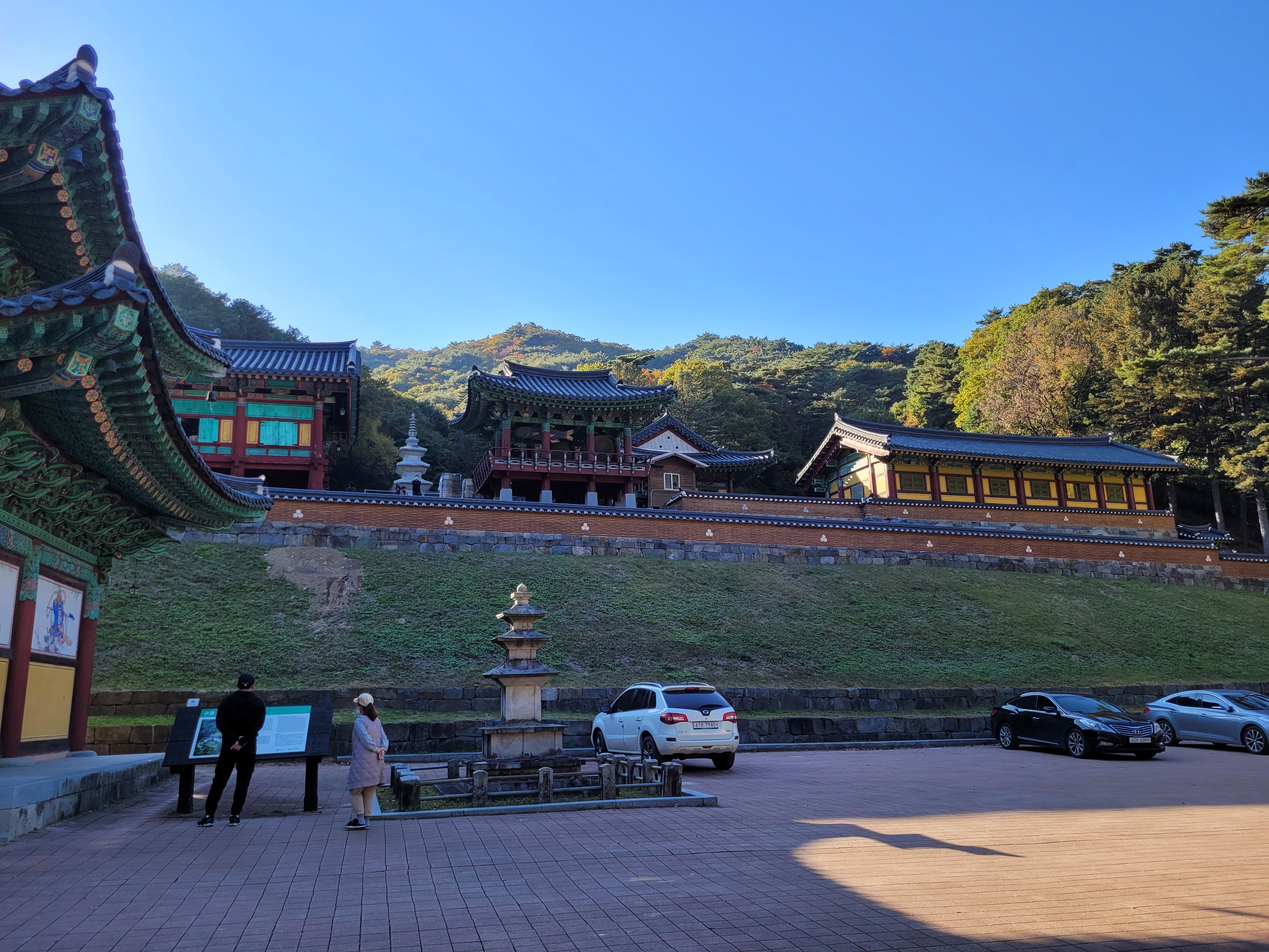
I opted for the Birobong course mainly because it headed for a moderate height peak and also encompassed a temple, but was also happy because the temple had a clearly marked car park to aim for!
The drive to the park was fairly uneventful with the exception of being flagged down by a middle aged Korean hiking couple at a bus stop who asked if I was headed to Sangwonsa Temple. I knew exactly what they were hoping for (hey, I’ve been a hitchhiking hiker too) and so waved them into the back of the car (once I worked out how to unlock the doors) and gave them a ride up to the temple which they were very thankful for, even asking if I was hiking the same direction as them (I wasn’t, but it was nice of them to ask).
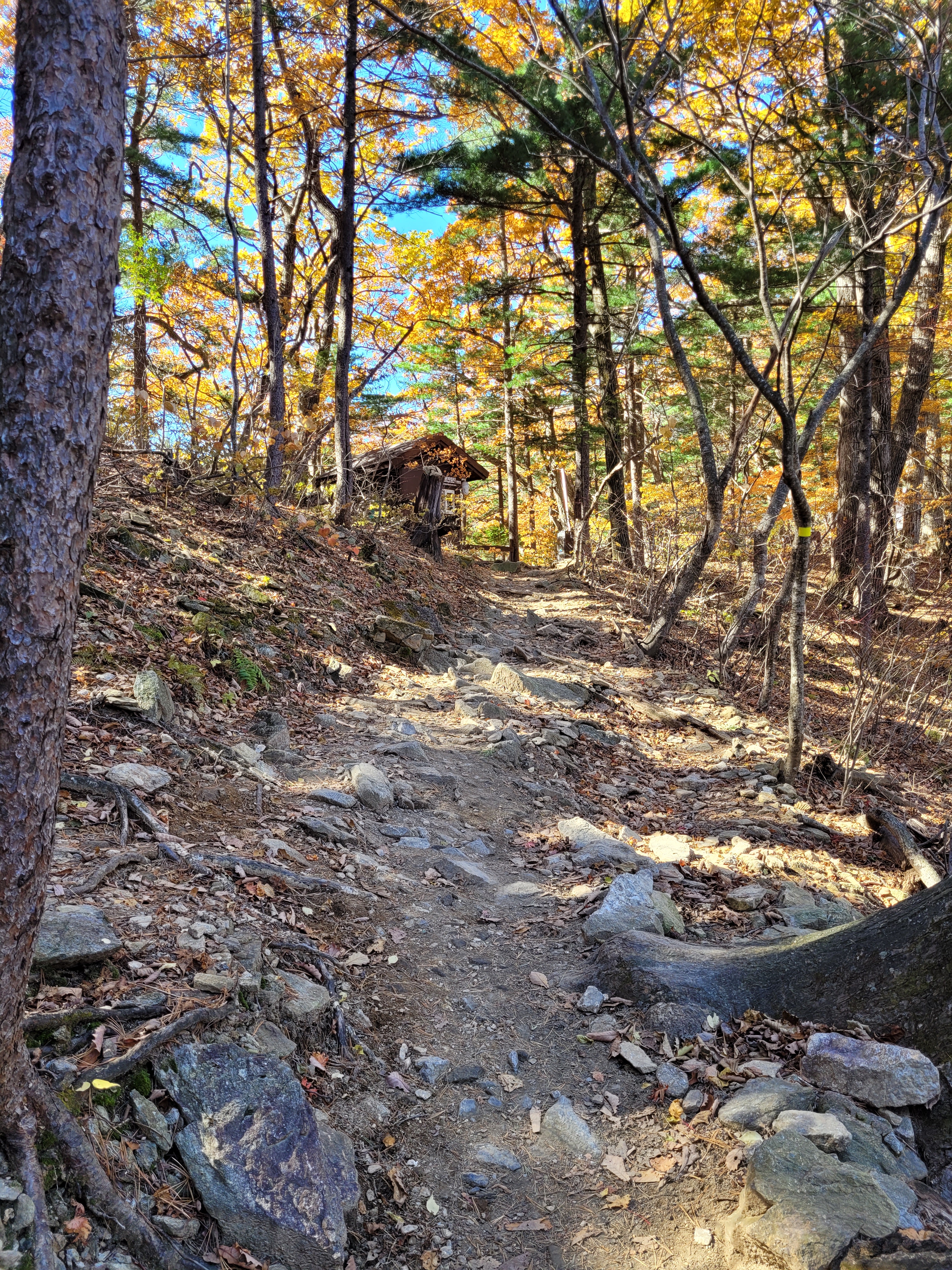
The hike today looked a bit like this…
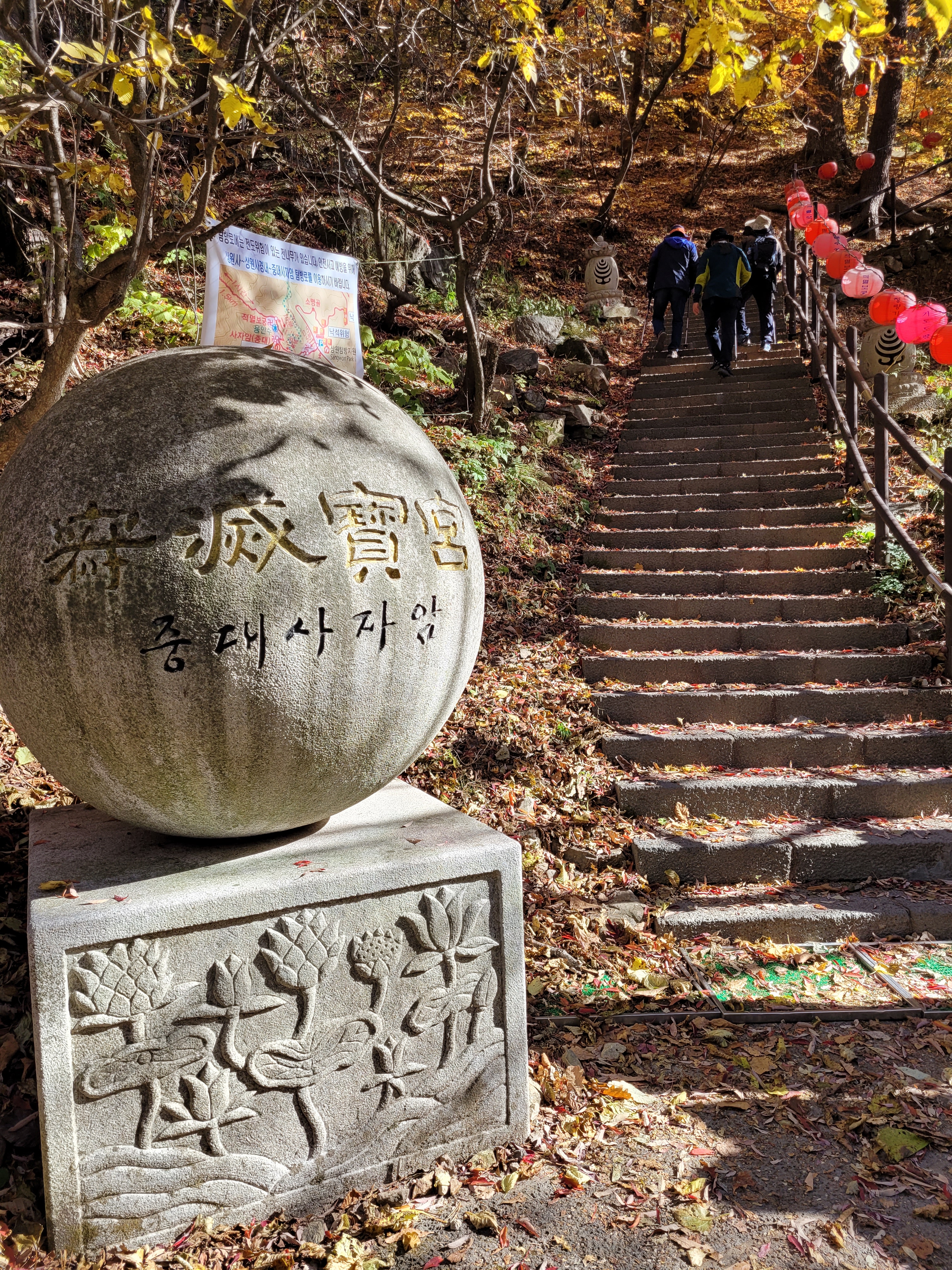

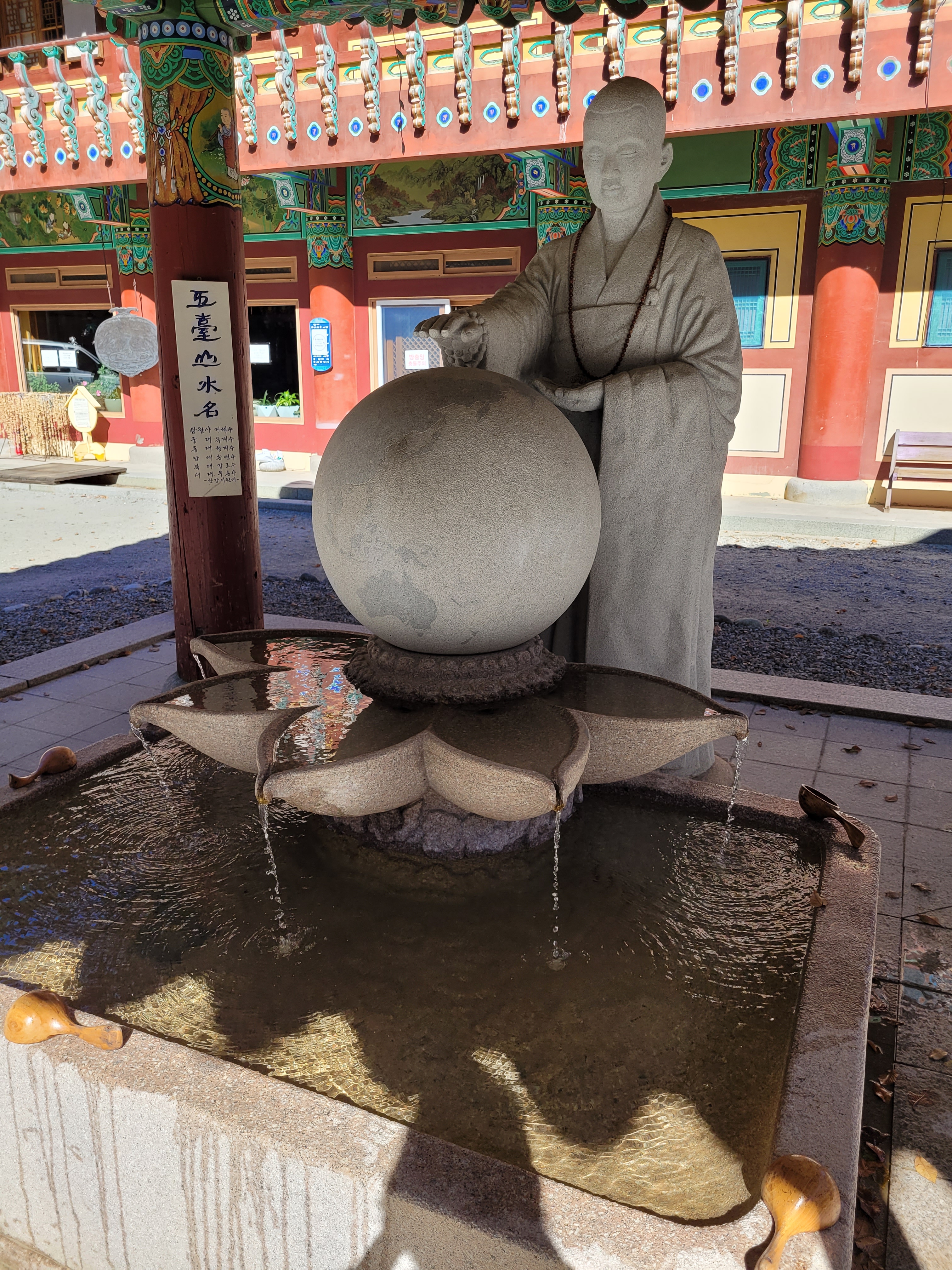
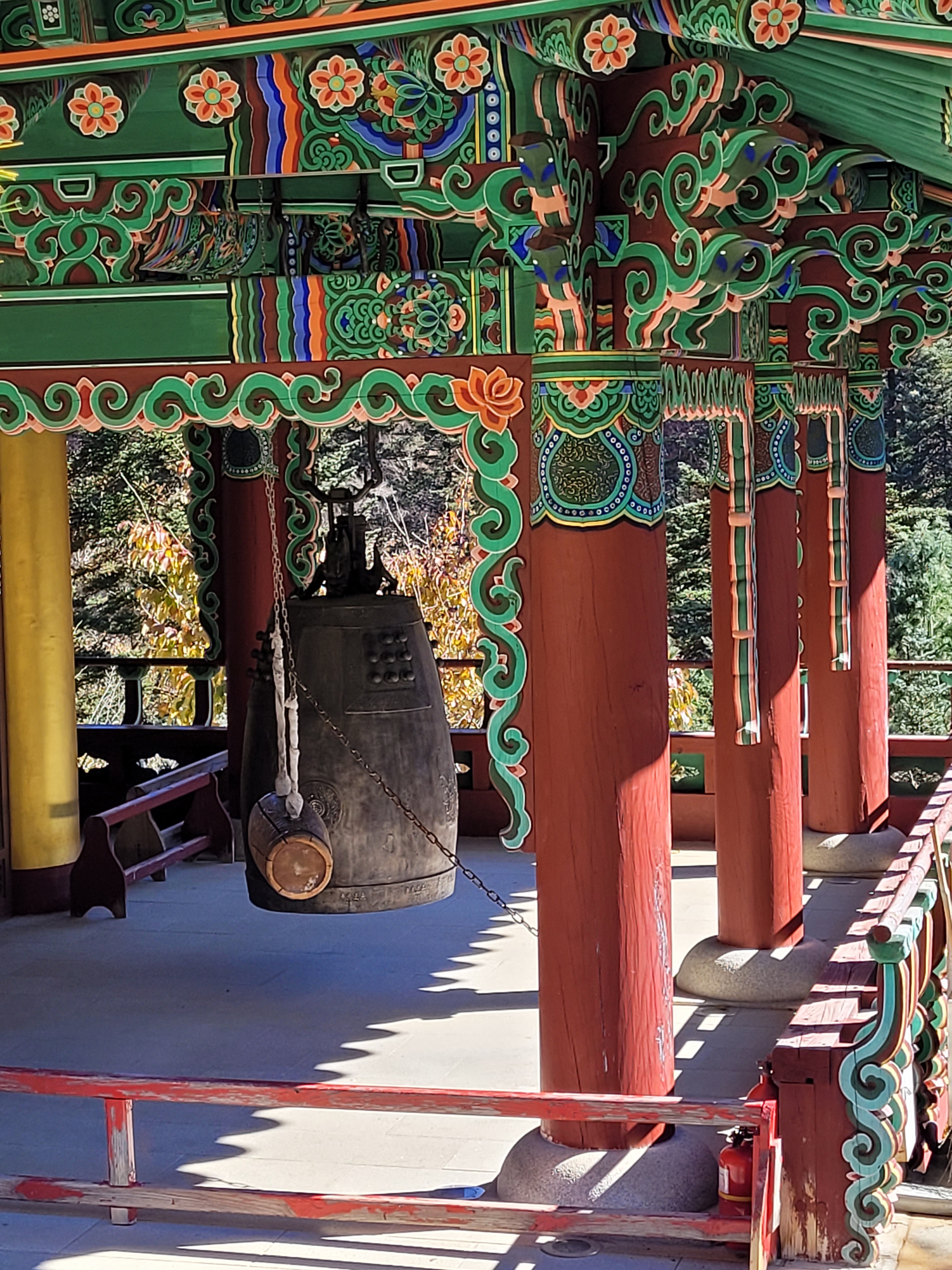
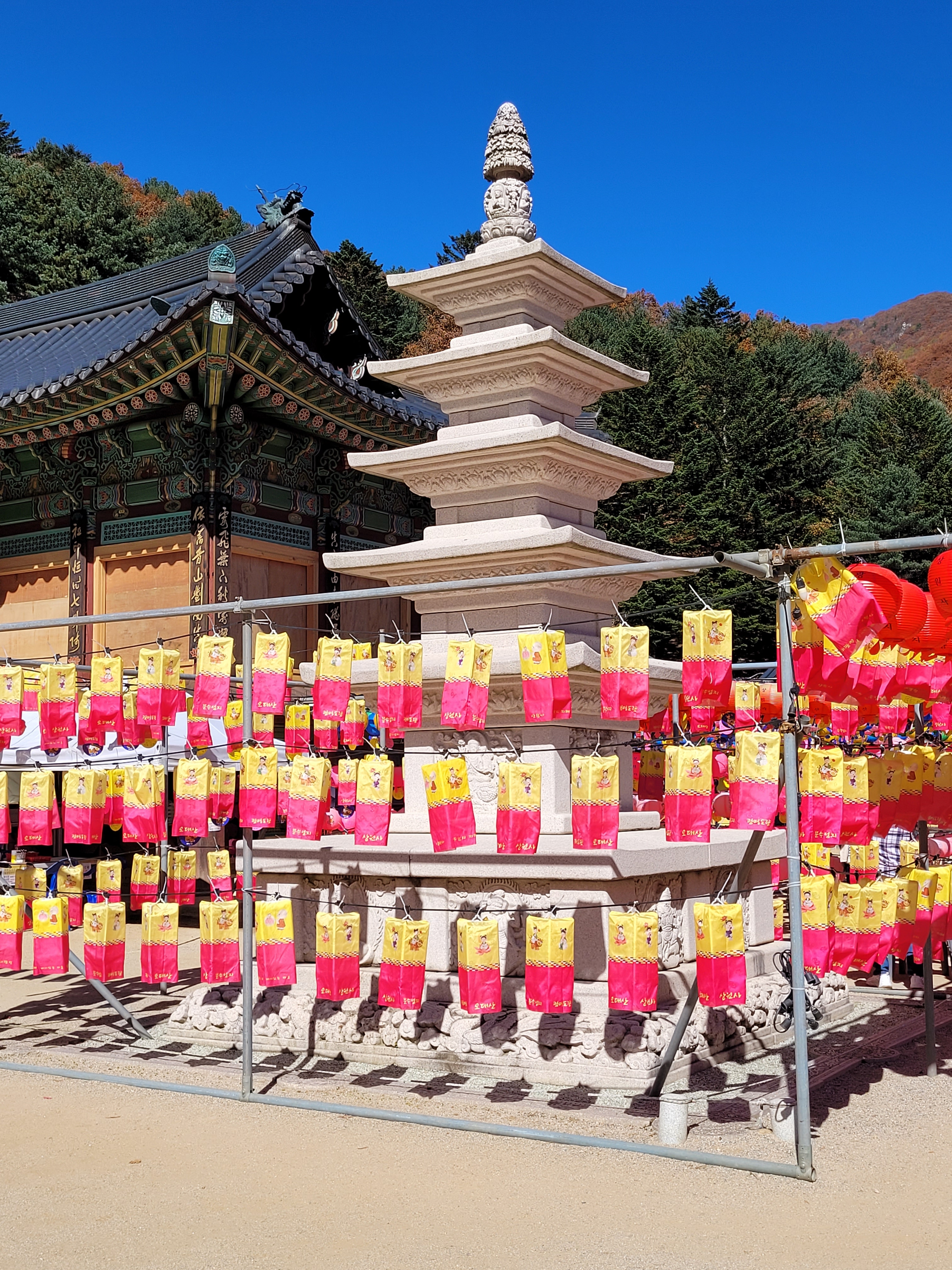
The first surprise of the day came from the number of temples I came across – three of them. The first was near the car park (which I bypassed to see on the way back), there was a second part way up the mountain (what I know consider a standard small temple), but it was the third one that really got me.
For a start, as you walk to towards it, this is what you listen to the whole way…
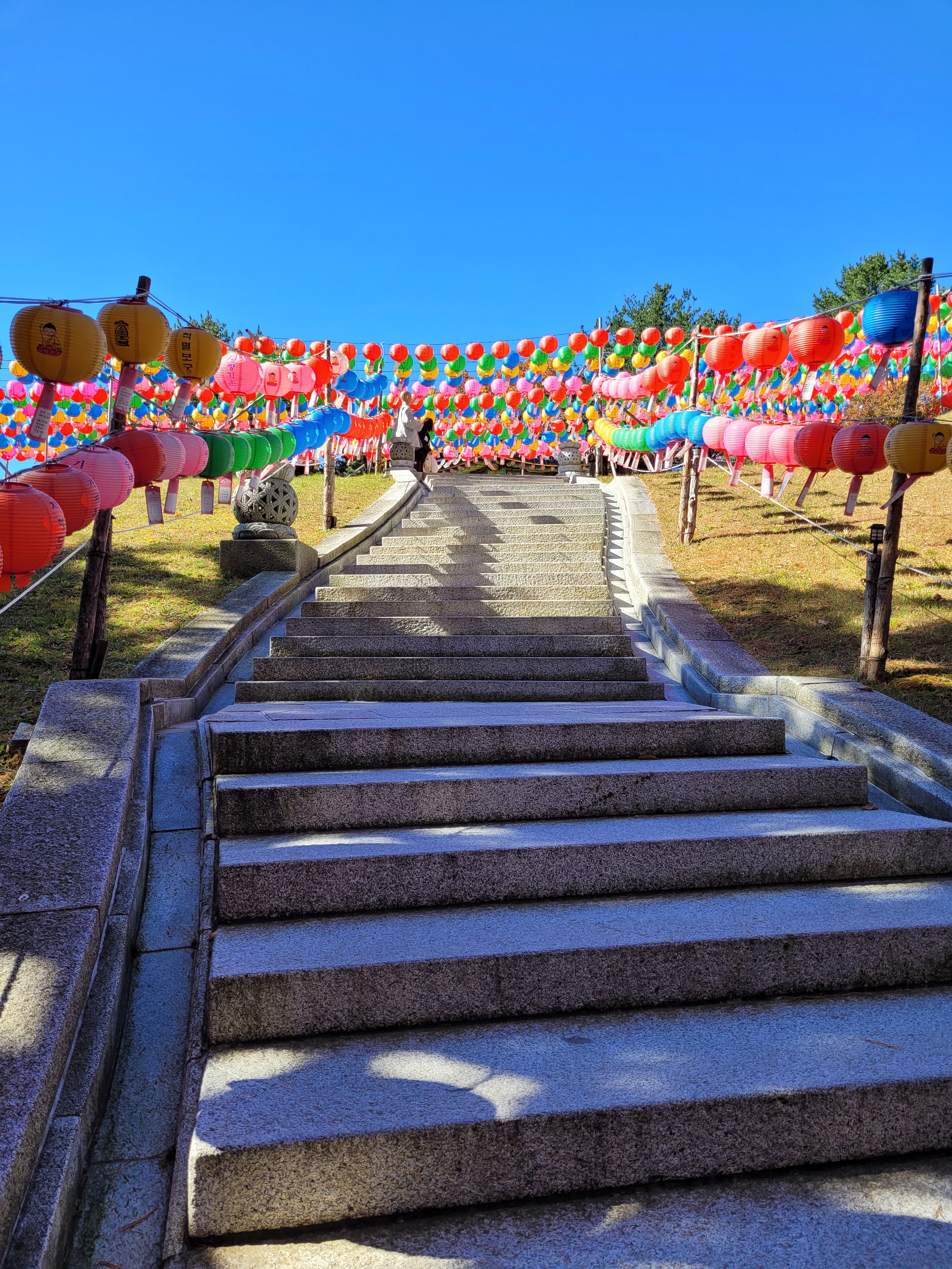
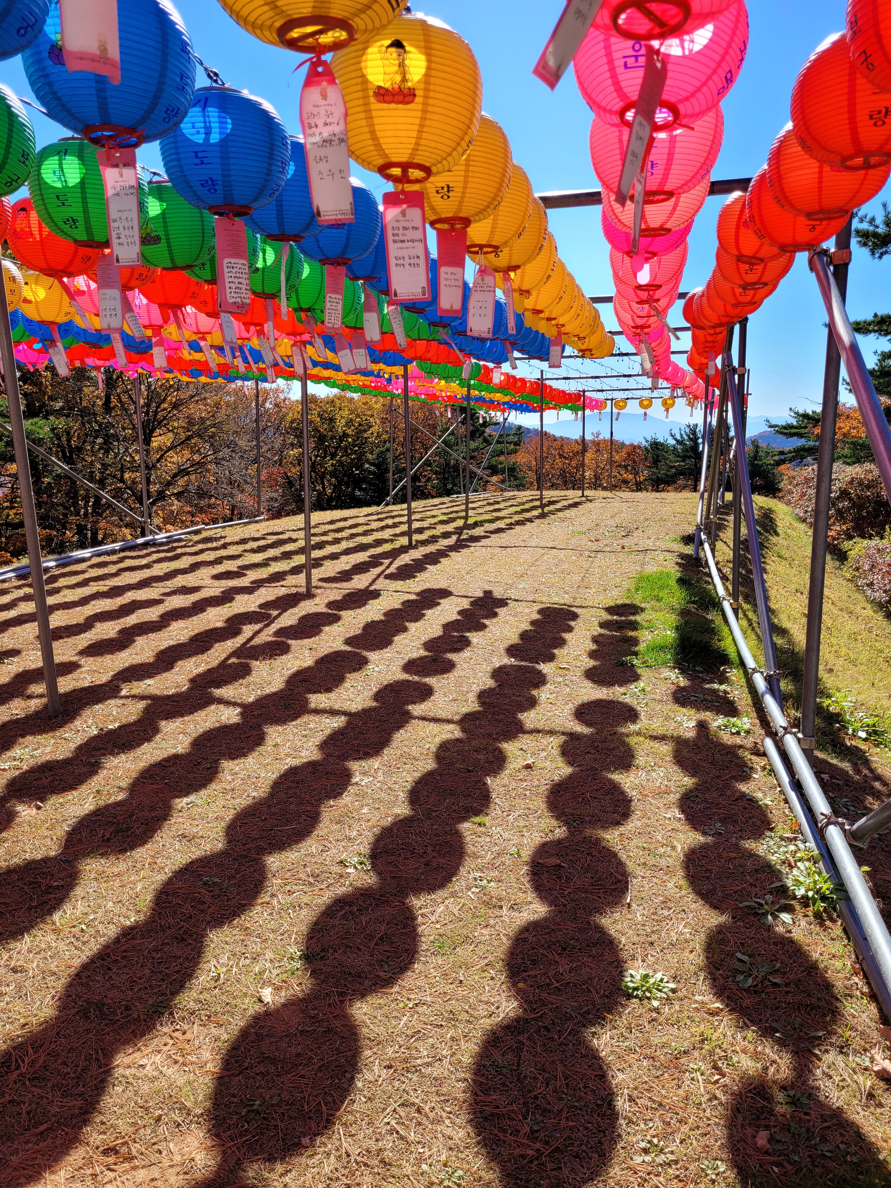
And I have to admit, climbing stairs on a beautiful cool yet sunny day, heading up a mountain, and listening to this chanting all the way; it’s actually incredibly relaxing and calming. I also enjoyed the lanterns along the trail. It was all so ridiculously atmospheric and wonderful, I had to stop and have one of those “I’m in South Korea and so incredibly thankful” moments.
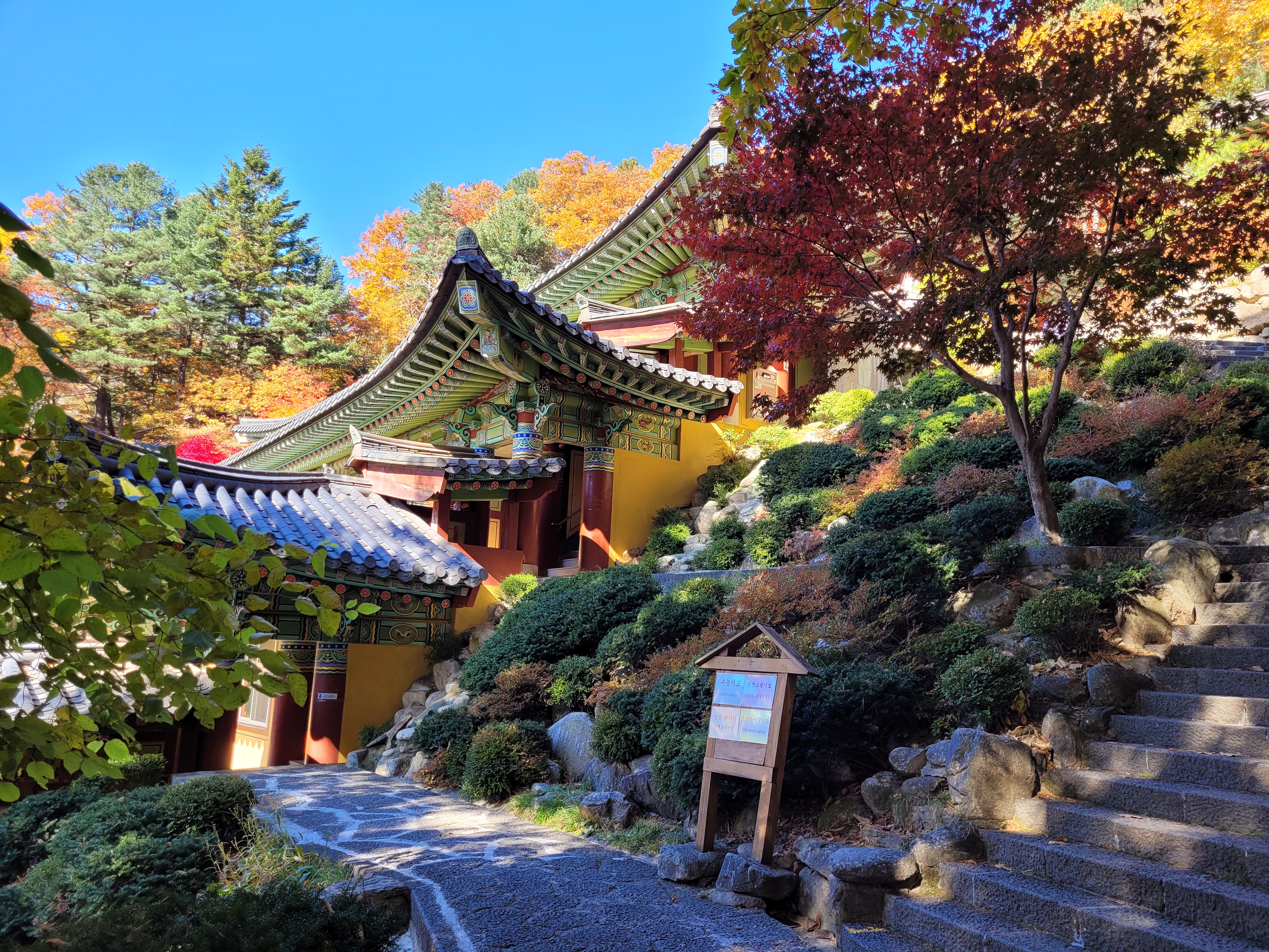
I didn’t realise I was actually going to find yet another temple, but it turns out I had reached Woljeongsa Jeongmyeolbogung and is described on their sign as the sanctum of the temple and one of the five greatest Jeongmyeolbogungs in Korea. Apparently relics of the Buddha (called Sarira – true relics) were placed here.
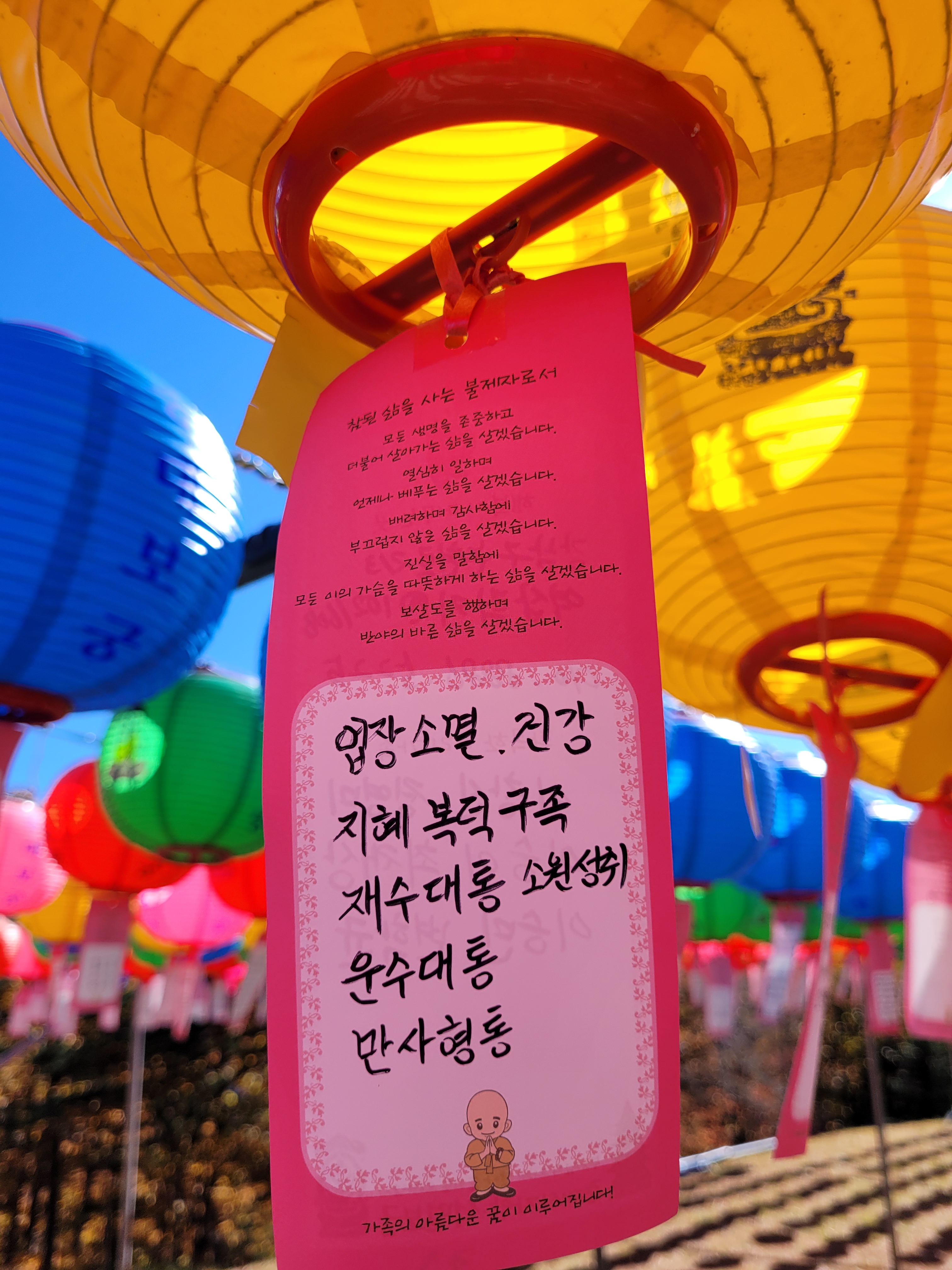
Now, I don’t know anything about those things, but I can tell you I walked up the remaining stairs and sat for a fair time on a wooden bench, in the cool breeze and with the sun warming my back, under a canopy of gently swaying lanterns filled with people’s hopes, listening to a monk chanting gently over a nearby speaker, watching people undertaking their bows, and…I felt peaceful inside and out. It really was quite an experience.
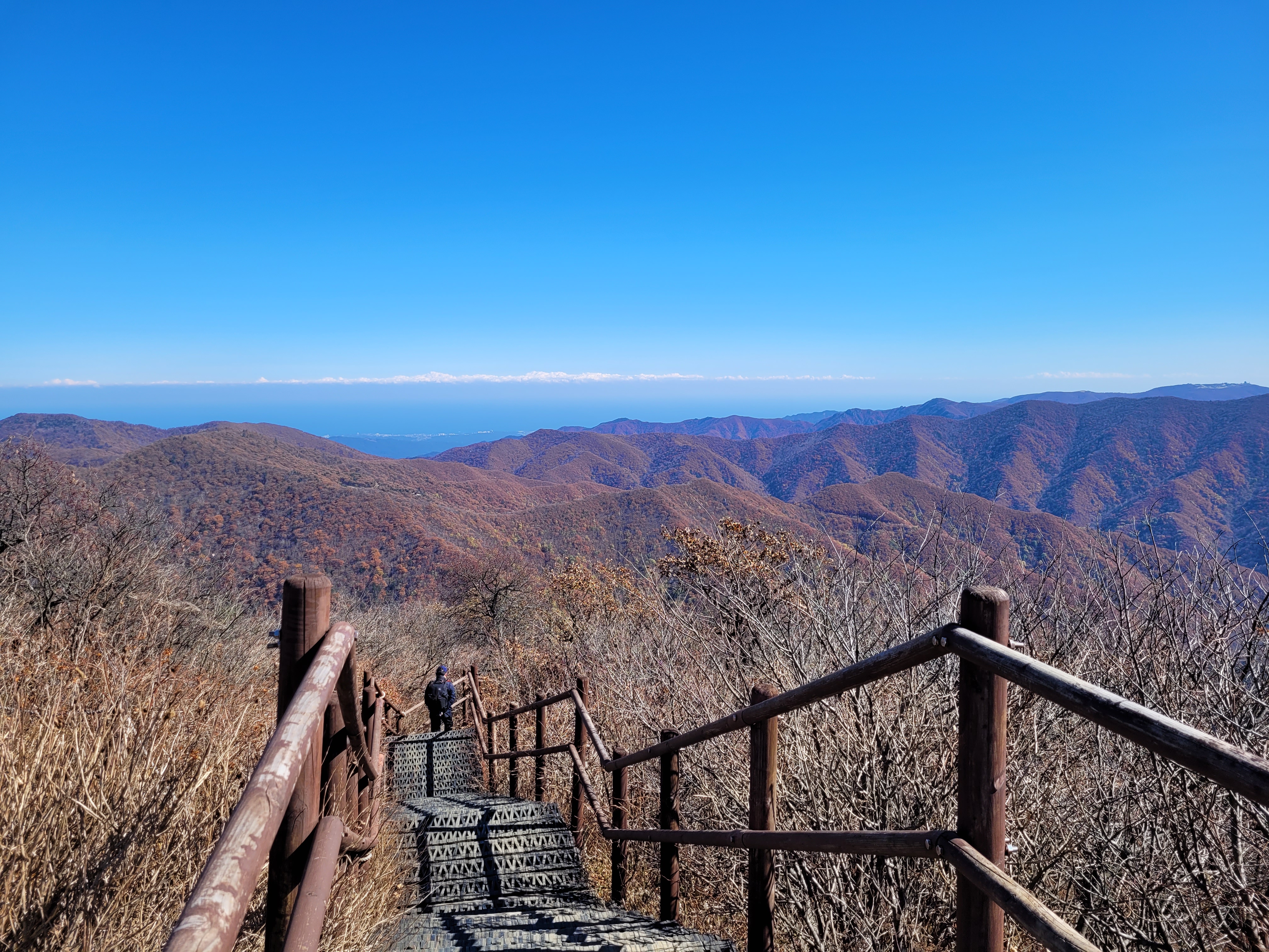
My hike of course finished with a climb and a peak, including a passing conversation with a gentleman who stopped me to point out towards direction of the sea and tell me in Korean “dong pada” which literally means East Sea, which I repeated and affirmed in English and he seemed happy I understood, and yet another nice lady who offered me a tangerine (which I ate on the spot) and what I later discovered were jujubes (these needed further investigation including confirmation of said fruit in my Kakao chatroom, an affirmation they weren’t in anyway poisonous just to munch, followed by a YouTube video on how to eat them – they are kind of like apples in taste and texture by the way).
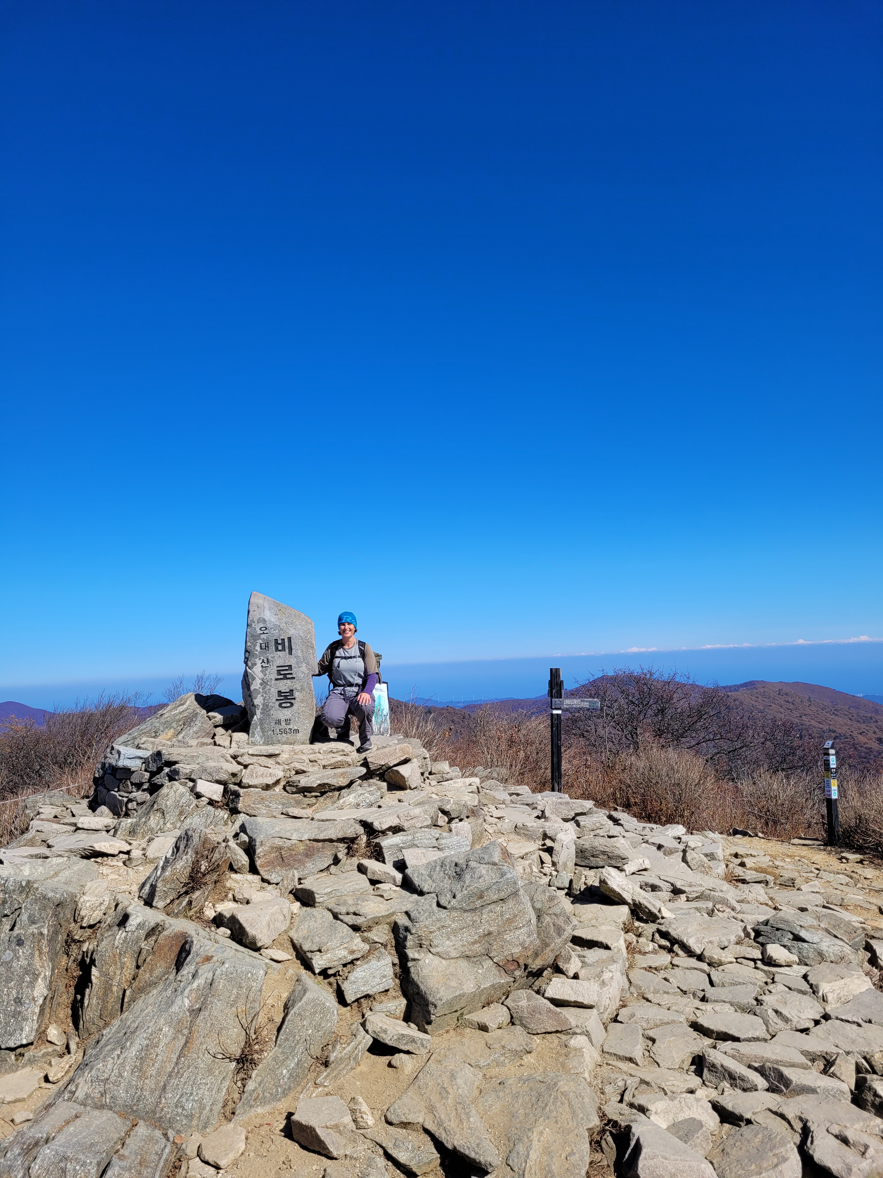
A brief walk-through visit to the temple at the base of the mountain concluded my Odaesan hike.
But remember, we aren’t done yet!
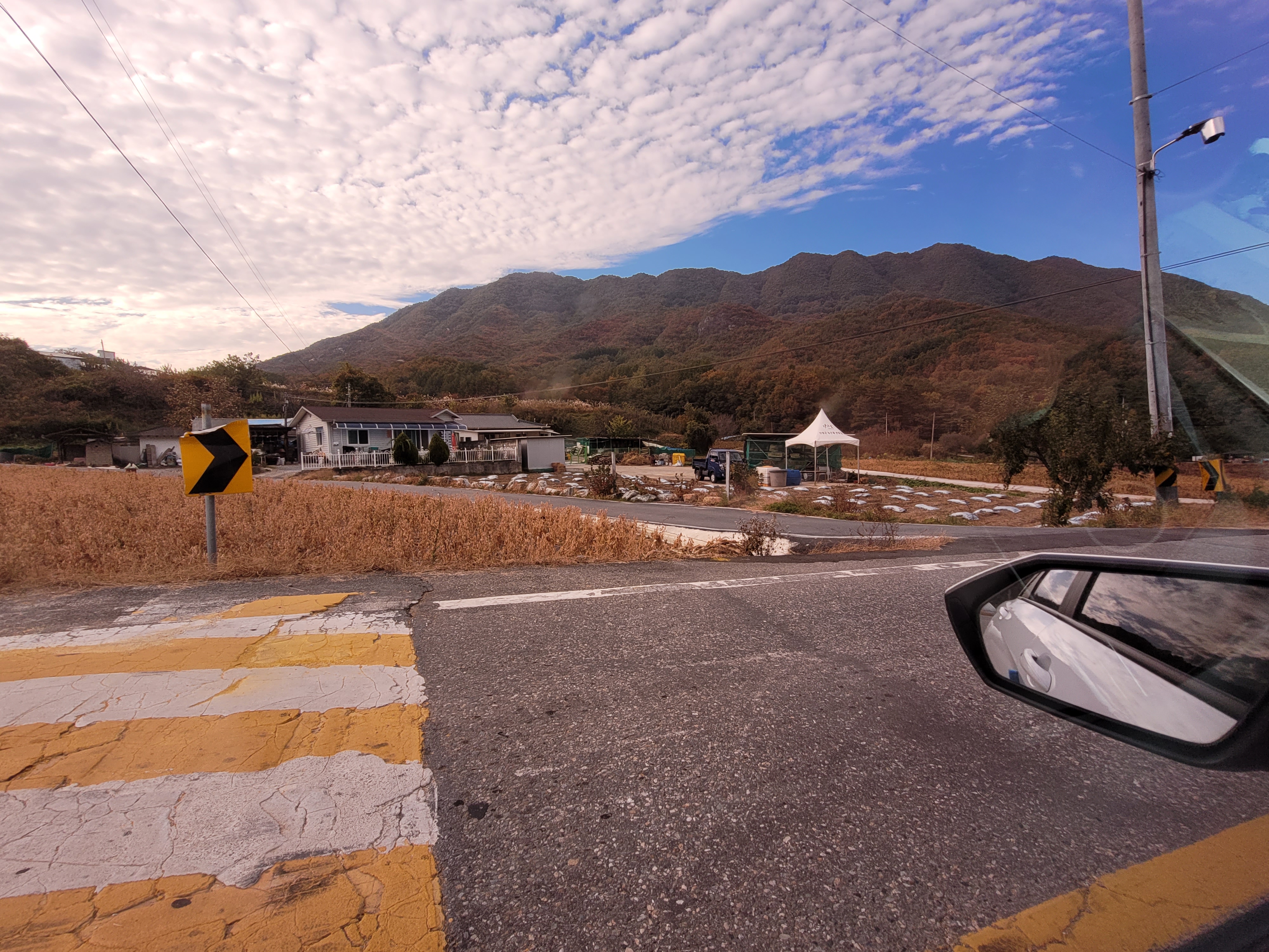
With time ticking by, let’s hop in the car and race to Chiaksan before the end of the day…what a great idea that is. Not.
I had chosen a short and easy hike as I knew this was to be a flying visit. But then I had a heck of a time finding the car park (which turned out to be at a temple, but even then I’m not sure that was right) and then locating the trail I wanted so I could go and see a waterfall, which turned out to be this…
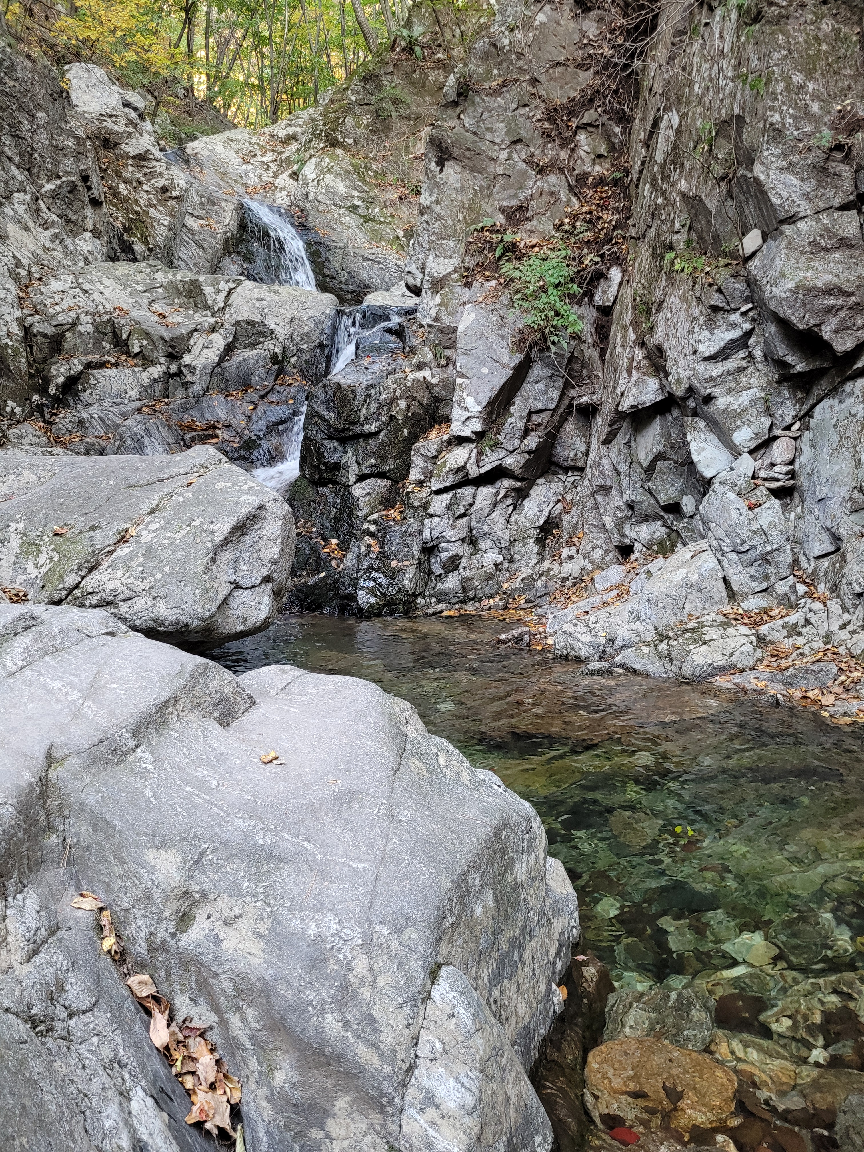
Now, I’m sure Chiaksan is a perfectly lovely national park, I have yet to visit a park that doesn’t have its own unique charms, so I will put my hands up and apologise to this park for not doing it any type of justice and therefore having nothing of note to say about it apart from that the temple did look amazing, it was absolutely huge.
I have learned my lesson though and maybe one day I might be able to see it again in a proper visit to redeem myself.
And there you have it, three national parks in one post!
I hope you enjoyed the photos at least.
And sorry, but there will be more to come…another 17 if I’m lucky… 🙂

Just beautiful. Ulsanbawi- very cool up at the top. And hey! You got to pay it forward, picking up hitchhikers!!
LikeLiked by 1 person
Wait until you see some of the views from the other parks! This country is so beautiful 😍 I was happy to finally help someone out!
LikeLike
Unlike in the city it is sounding like people are really friendly which is great. Good to know you are no longer in a silent movie! It is obvious that food is a major focus, which I love, how did that long skewer looking thing taste? It looks incredible 😁
Beautiful photos, well jealous 😉
LikeLiked by 1 person
Skewer was delicious, a little hard to wrangle off the stick without looking a bit silly. I obviously just need more practice! 😁
More amazing photos to come… this country is just ridiculously beautiful.
LikeLike